Gauge Conditions
Runnable: ? – ? CFS
Approximate - nearest available gauge. Use as general reference only.
Data from American Whitewater & USGS
Photo
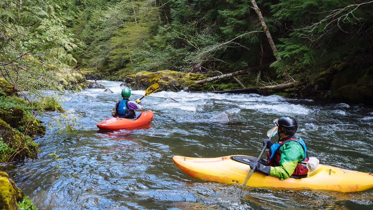
Photo courtesy of American Whitewater
Description
Take Out marks the end of this upper Tye River section, characterized by a series of narrow constrictions that compress the water flow and create unpredictable hydraulics. Paddlers should be prepared for potential hidden rocks and tight maneuvering through the final stretch, with limited escape routes and the need for precise boat positioning to avoid potential pinning hazards.
Location
Other Rapids on This Run (1)

View Full Run
Upper: Montebello to first Rt. 56 bridge
Tye, Upper South Fork
V+
0.0 mi
Current Conditions
5-Day Forecast
Whitewater data from
American Whitewater
American Whitewater