Gauge Conditions
Runnable: ? – ? CFS
Approximate - nearest available gauge. Use as general reference only.
Data from American Whitewater & USGS
Photo
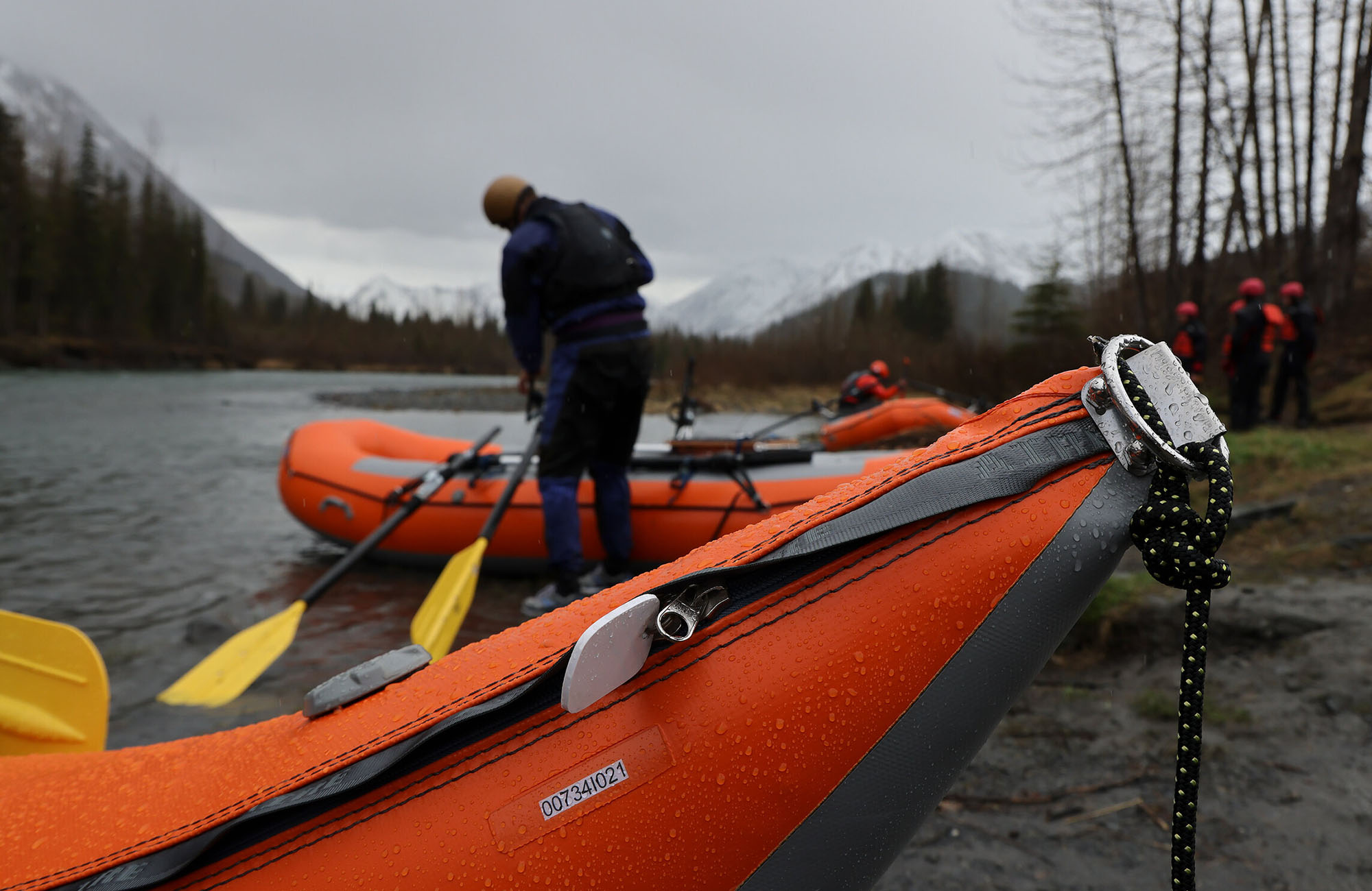
Photo courtesy of American Whitewater
Description
Take Out rapid on Wortmann's Creek marks the transition between upper and lower sections, characterized by tight technical navigation through a narrow boulder-choked channel with limited visibility. Paddlers must carefully read and react to changing water levels and potential hidden obstructions, with minimal margin for error due to the confined terrain and potential for pinning or strainers.
Location
Other Rapids on This Run (1)

View Full Run
Upper River to Lowe River
Wortmann's Creek
II-III
6.0 mi
Current Conditions
5-Day Forecast
Whitewater data from
American Whitewater
American Whitewater