Gauge Conditions
Runnable: ? – ? CFS
Approximate - nearest available gauge. Use as general reference only.
Data from American Whitewater & USGS
Photo
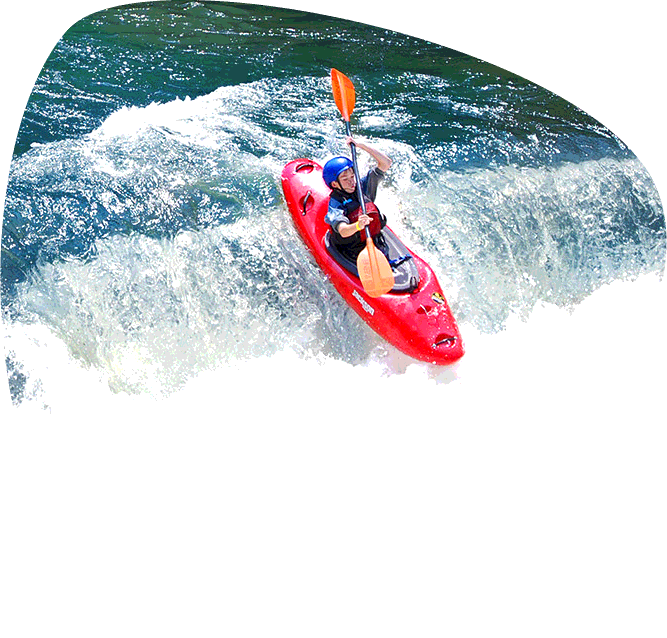
Photo courtesy of American Whitewater
Description
Take Out rapid marks the terminus of this river section, characterized by a broad, shallow rocky stretch that requires careful navigation to avoid potential pin and entrapment hazards. Paddlers should anticipate multiple scattered boulder gardens and potential low water conditions that can expose sharp rocks and create complex route-finding challenges. While not technically demanding, attentiveness and precise boat positioning are critical to safely exiting this final segment of the run.
Location
Other Rapids on This Run (1)

View Full Run
US 70 to US 27
Mammys Creek
II-III(IV)
10.1 mi
Current Conditions
5-Day Forecast
Whitewater data from
American Whitewater
American Whitewater