Take-out
VA
Take Out - VA 671 - De Haven, VA
Back Creek (Potomac trib) - 2. Route 50 (Gore) to De Haven (Route 671) (VA)
Gauge Conditions
Data from American Whitewater & USGS
Photo
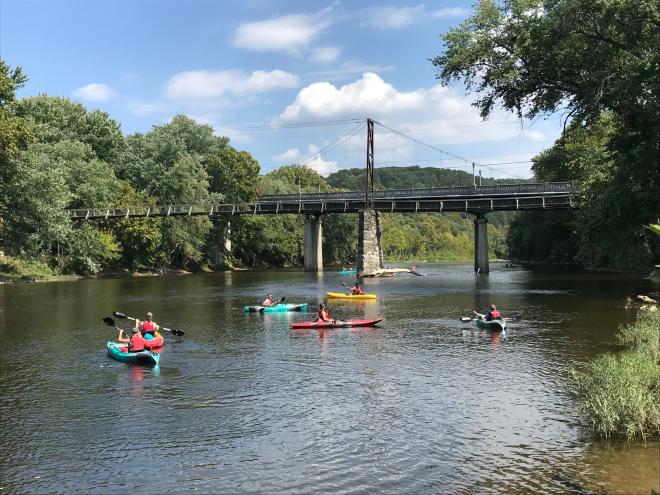
Photo courtesy of American Whitewater
Description
Take Out rapid marks the end of the Back Creek run at Route 671, featuring a potential complex exit with potential shallow rock formations and potential swift current convergence. Paddlers should carefully scout the takeout zone, being mindful of potential pinning hazards and the transition from river to roadside access. Local knowledge is recommended due to variable water conditions and potential terrain challenges at this section's terminus.
Location
Other Rapids on This Run (1)

View Full Run
2. Route 50 (Gore) to De Haven (Route 671)
Back Creek (Potomac trib)
I
13.0 mi
Current Conditions
5-Day Forecast
Whitewater data from
American Whitewater
American Whitewater