Gauge Conditions
Data from American Whitewater & USGS
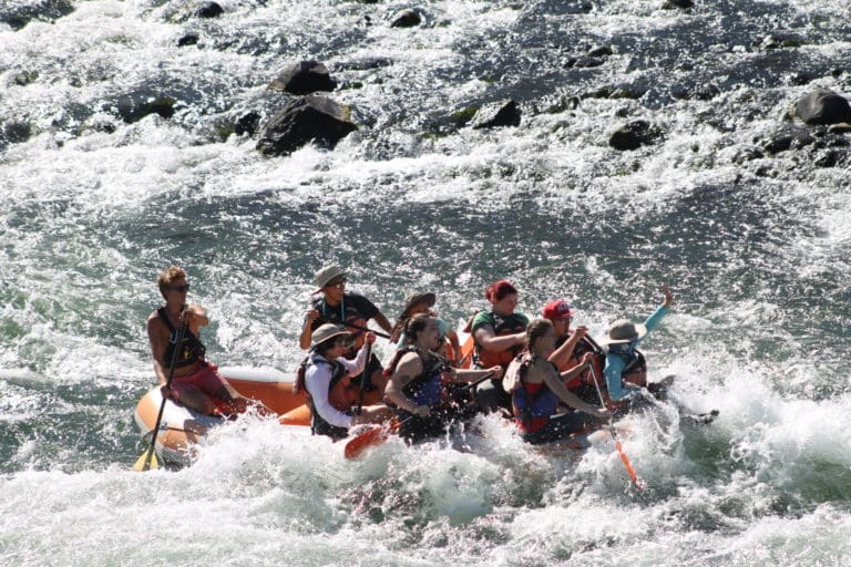
Photo
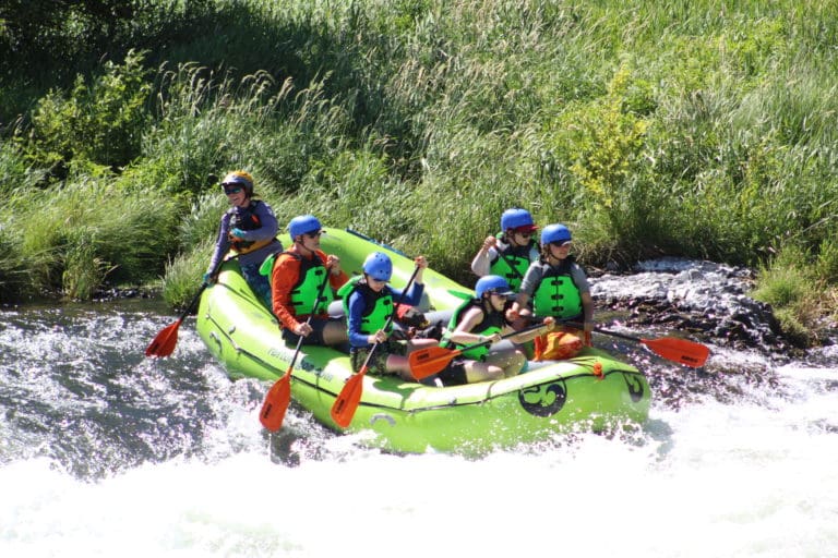
Photo courtesy of American Whitewater
Description
Take Out rapid on the Deschutes River features a tight, technical passage with multiple boulder obstacles requiring precise boat placement and quick maneuvering. Paddlers must navigate a series of sharp, angular rocks creating unpredictable hydraulics and potential pin hazards, with the primary line demanding careful route selection to avoid undercut formations on the river's right side.
Location
Other Rapids on This Run (1)
View Full Run
Vail Loop Rd. to Military Rd.
Deschutes
II
10.5 mi
Current Conditions
5-Day Forecast
Whitewater data from
American Whitewater
American Whitewater