Gauge Conditions
Runnable: ? – ? CFS
Approximate - nearest available gauge. Use as general reference only.
Data from American Whitewater & USGS
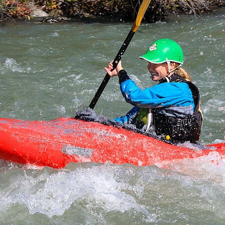
Photo

Photo courtesy of American Whitewater
Description
Take Out rapid on the Greybull River presents a complex navigational challenge with multiple potential routes through a boulder-strewn channel. The rapid requires precise boat positioning and momentum to thread between large mid-stream rocks and avoid potential pinning hazards, with the most favorable line typically requiring a technical approach along the river's right side. Paddlers should scout carefully and be prepared for shifting water levels that can dramatically alter the rapid's character and difficulty.
Location
Other Rapids on This Run (1)
View Full Run
Venus Creek to Forest Service boundary
Greybull
I-III
9.5 mi
Current Conditions
5-Day Forecast
Whitewater data from
American Whitewater
American Whitewater