Take-out
MI
Take Out
Clinton - W. Avon Road (at Livernois) to E. Avon Road (Yates Dam) (5 miles) (MI)
Gauge Conditions
Runnable: 200.0 – 2,000.0 CFS
Likely low/scrapey flow. We need your input! Please add comment or report about best flows here!
Data from American Whitewater & USGS
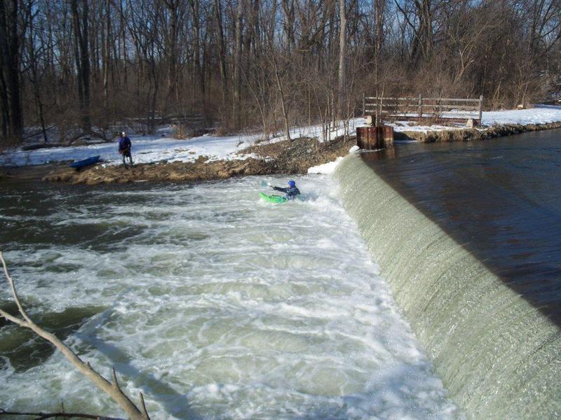
Photo
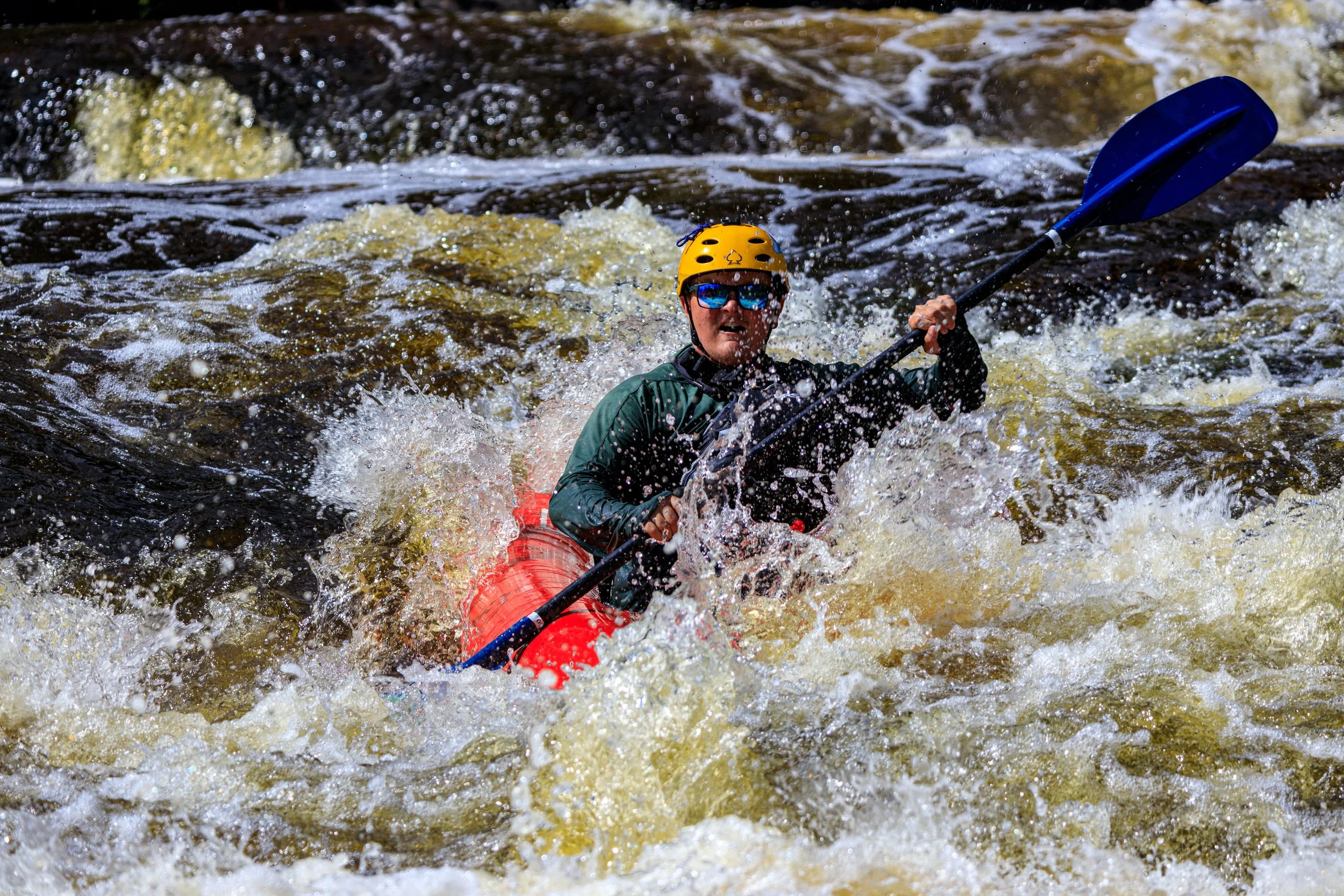
Photo courtesy of American Whitewater
Description
Take Out rapid on the Clinton River presents minimal technical challenges, with no significant obstacles noted in available river guides. Paddlers should maintain standard river awareness and follow typical safety protocols when navigating this section between W. Avon Road and Yates Dam. Local knowledge of water levels and seasonal flow variations is recommended.
Location
Other Rapids on This Run (4)
View Full Run
W. Avon Road (at Livernois) to E. Avon Road (Yates Dam) (5 miles)
Clinton
I(II)
4.7 mi
Current Conditions
5-Day Forecast
Whitewater data from
American Whitewater
American Whitewater