Gauge Conditions
Runnable: ? – ? CFS
Approximate - nearest available gauge. Use as general reference only.
Data from American Whitewater & USGS
Photo
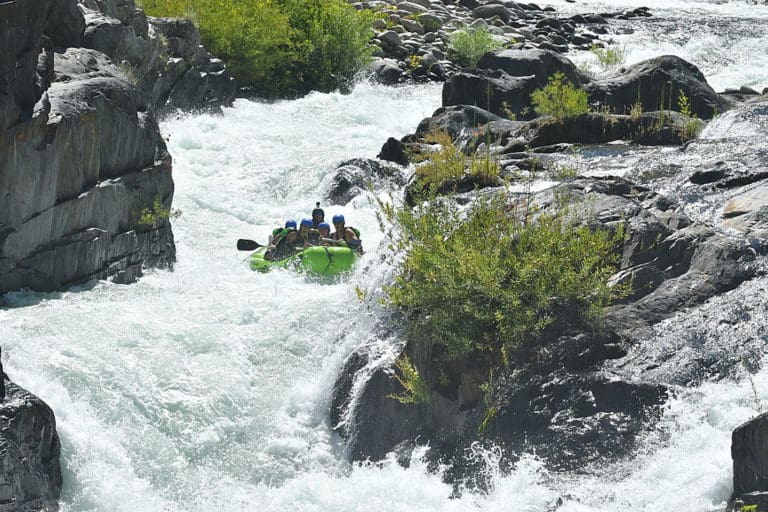
Photo courtesy of American Whitewater
Description
Take Out rapid marks the end of the Hayfork Creek run, characterized by a complex boulder garden that demands precise boat placement and careful navigation through tight channels. Paddlers should be prepared for potential pin hazards and the need to make quick directional changes among the rocks, with the most straightforward line typically requiring careful scouting from the bank.
Location
Other Rapids on This Run (1)
View Full Run
Wild Mad Road to Hwy 36
Hayfork Creek
III-IV
3.5 mi
Current Conditions
5-Day Forecast
Whitewater data from
American Whitewater
American Whitewater