How's Your
River
×
Explore
Explore Map
Water Bodies
Gauges
Access Sites
Tidal Stations
Whitewater
Pricing
Login
Sign Up
Hazard Warning:
Hazard information may be user-submitted and unverified. Conditions change frequently. Always scout rapids and obstacles yourself.
Whitewater
Georgia
Amicalola Creek - Upper
The Ledge
Hazard
GA
Class II+
The Ledge
Amicalola Creek - Upper (GA)
Monitor this Rapid
Water Body
This Run
Map
Other Rapids
Gauge
Weather
Directions
Gauge Conditions
Amicalola Creek near Dawsonville, Ga.
Downstream
Primary
Runnable: 1.0 – 3.5 FT
Data from
American Whitewater
&
USGS
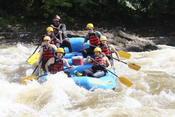
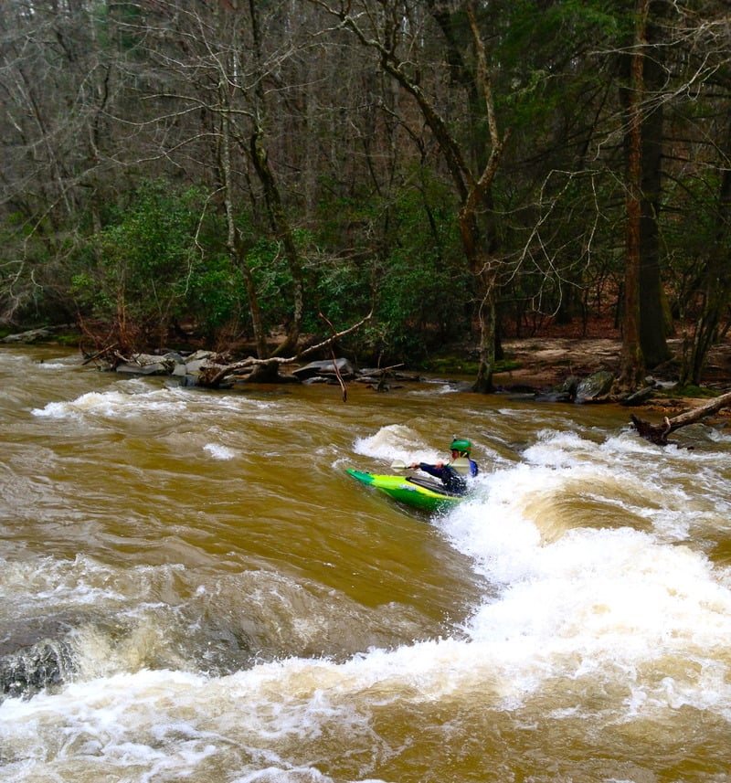
Photo
Photo courtesy of
American Whitewater
Description
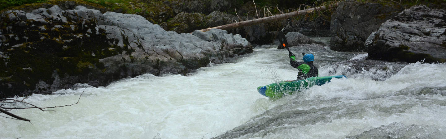
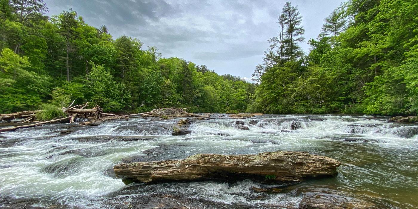
A five foot river wide ledge. Best line is typically right of center. This is a mandatory scout due to the possible presence of wood. Scout from the left bank.
Location
Radar
Counties
Cell
Verizon
AT&T
T-Mobile
Dark
Satellite
Terrain
Other Rapids on This Run (7)
Rapid
N/A
Multiple miles of river upstream need to be better explored
0.0 mi
Rapid
N/A
Put in for six mile/ camp ground
1.8 mi
Rapid
II-
First Slide
3.9 mi
Rapid
II
Triple Drop Ledge
5.0 mi
Rapid
II
Third Ledge
5.5 mi
Playspot
II+
The Play Hole
9.5 mi
Rapid
N/A
Take Out
10.7 mi
Type
Hazard
Difficulty
Class II+
Mile Marker
4.8 mi
Directions
Navigate
View Full Run
Upper
Amicalola Creek
II-III
10.7 mi
Hazard
— Exercise extreme caution in this area.
Current Conditions
5-Day Forecast
Whitewater data from
American Whitewater
The Ledge