Gauge Conditions
Skilled, experienced boaters only!
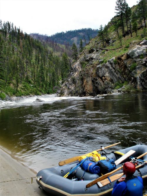
Photo
Description
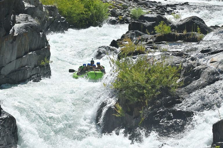
This route is an alternative to The Chute and runs parallel to it. Stay to river right after the Rock Garden to run The Ledges. The Ledges are very bony at low levels, and not really worth the trouble at levels less than 400cfs. At levels above 400 the action picks up and and offers technical rapids, ledges and pourovers. At higher levels several good surf spots and playholes develop. There are three main rapids (and numerous smaller ones) in this section. At first, this route winds through boulders, small islands, Cypress trees, Cypress knees, and low hanging limbs. Very scenic. Go through that stuff and then you will come to a small rapid to the right that will flatten out some before the next drop. The crosscurrents in this area can be a little tricky at higher flows.
The first main rapid is 1100 Springs. Enter to the right,down the ledge, avoid the boulders, and make a quick left to go through the wave train. Good surf spot at levels above 1000, but can be played at 400+. This is a good place to learn how to surf at medium levels. The water flattens out again here and there will be several rapids coming in from the left. At the right levels there are some small small holes/rapids to play in. Another good learning spot.
Next is the rapid above Bubba. Nice waves form over 1000, stop and surf a while. Quick ferry to river right will put you on the line for Bubba. Go just to the right of the large boulders. Or you can continue straight down the wave train and over the ledge left of Bubba for a more technical run. Try not to swim here.
Bubba is the hole below the pourover on the last ledge before Presbyterian Falls and is a popular playspot. At low levels the hole is deep and not very friendly. At 400+ it can provide quite a lot of action. Lots of submerged rocks in this area - use caution.
Location
Other Rapids on This Run (5)
Current Conditions
5-Day Forecast
American Whitewater