How's Your
River
×
Explore
Explore Map
Water Bodies
Gauges
Access Sites
Tidal Stations
Whitewater
Pricing
Login
Sign Up
Hazard Warning:
Hazard information may be user-submitted and unverified. Conditions change frequently. Always scout rapids and obstacles yourself.
Whitewater
Georgia
Mossy Creek - New Bridge Road to Chattahoochee River
The S-Turn Undercut
Hazard
GA
Class III+
The S-Turn Undercut
Mossy Creek - New Bridge Road to Chattahoochee River (GA)
Monitor this Rapid
Water Body
This Run
Map
Other Rapids
Gauge
Weather
Directions
Gauge Conditions
Chattahoochee River near Cornelia, GA
Upstream
Primary
Runnable: 2,500.0 – 15,000.0 CFS
Data from
American Whitewater
&
USGS
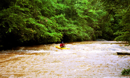
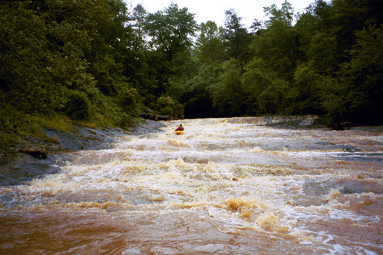
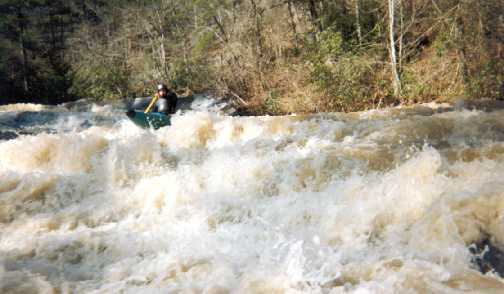
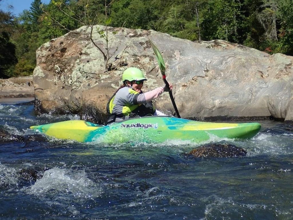
Photo
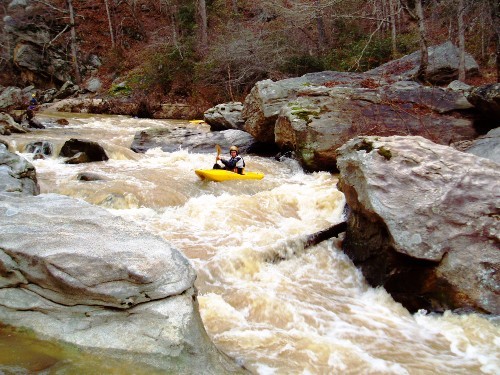
Photo courtesy of
American Whitewater
Description
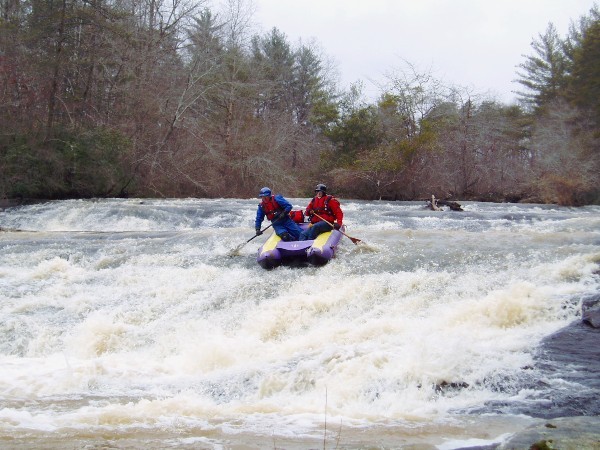
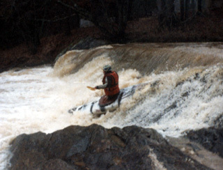
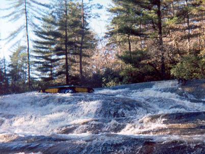
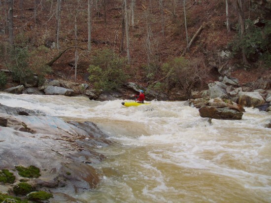
The last rapid before the confluence with the Hooch. A tricky little rapid with some nastily placed rocks, and an undercut on river left. The move is to stay away from and out of the undercut. This one gets easier as the water gets higher.
Location
Radar
Counties
Cell
Verizon
AT&T
T-Mobile
Dark
Satellite
Terrain
Other Rapids on This Run (12)
Rapid
N/A
Put In
0.0 mi
Rapid
II
What rapids?
0.7 mi
Rapid
II
Infinity
0.9 mi
Waterfall
IV+
First Slide
1.1 mi
Waterfall
IV
Second Slide
1.2 mi
Rapid
III+
Third Slide
1.2 mi
Rapid
III+
Fourth Slide
1.2 mi
Hazard
IV+
The Ledge
1.4 mi
Waterfall
IV+
Over the bars aka The big slide
1.8 mi
Rapid
III+
Big Snake
2.4 mi
Rapid
III+
Confederate Flag
2.4 mi
Rapid
N/A
Take Out
2.5 mi
Type
Hazard
Difficulty
Class III+
Mile Marker
2.5 mi
Directions
Navigate
View Full Run
New Bridge Road to Chattahoochee River
Mossy Creek
III-IV
6.6 mi
Hazard
— Exercise extreme caution in this area.
Current Conditions
5-Day Forecast
Whitewater data from
American Whitewater
The S-Turn Undercut