Gauge Conditions
Too low to call anything whitewater. (May be paddled, but expect to scrape on all shoals.)
Photo
Description
Just past "the Esses" (S-curves), you'll reach a stretch of fairly straight river (creek).
On your left run the railroad tracks, and (just a little ways down, and across the tracks) Lake Marion, really little more than a pond, but with a small park. Just west of that lies Mazo Bluff.
On your right lies a fine section of Wolf Run Trail, running though the Wolf Conservancy (named for the family which allowed a perpetual easment to the Natural Heritage Land Trust and Dane County).
Reportedly, the reason for this section being this straight is that the creek actually used to feed into Lake Marion, which was formed by a dam on the creek. However, the creek was rerouted, and the lake now exists apart from the creek.
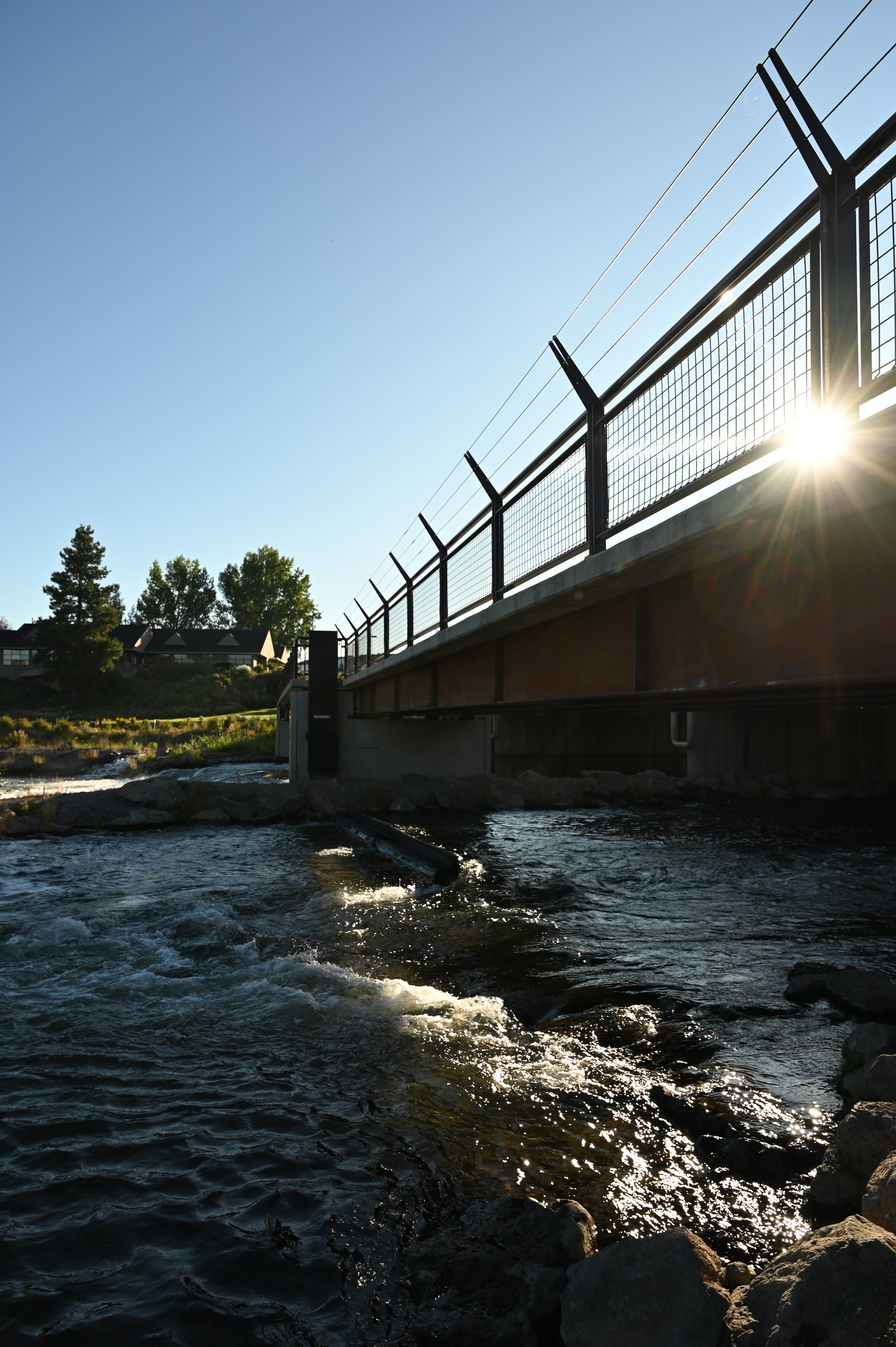
Just as you get to the downstream end of Lake Marion, the creek takes a minor zig-zag and heads under Hwy.14.
Location
Other Rapids on This Run (11)


Current Conditions
5-Day Forecast
American Whitewater