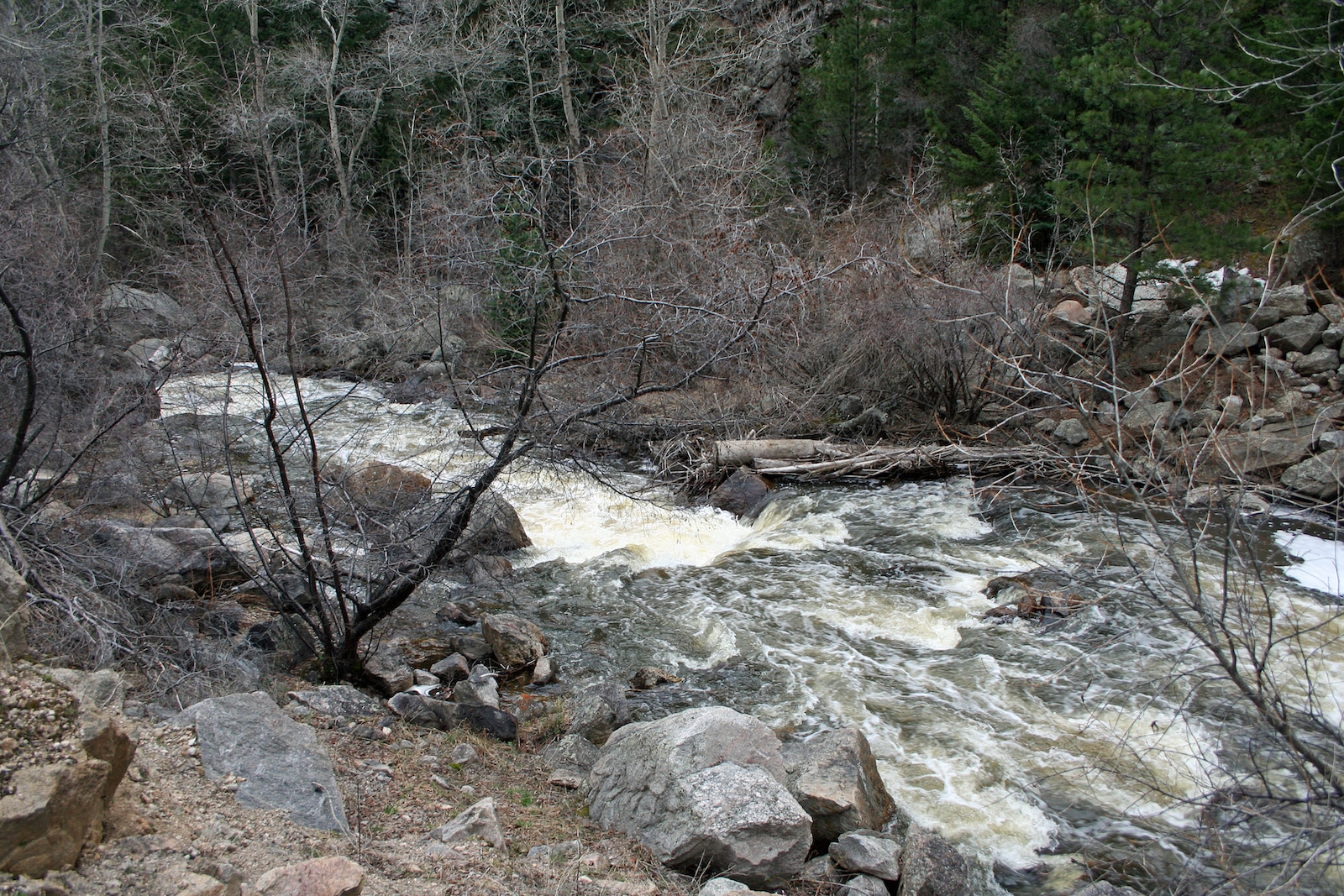
The Takeout
Saint Vrain Creek, North - 01. Peak to Peak Hwy to Buttonrock Preserve (CO)
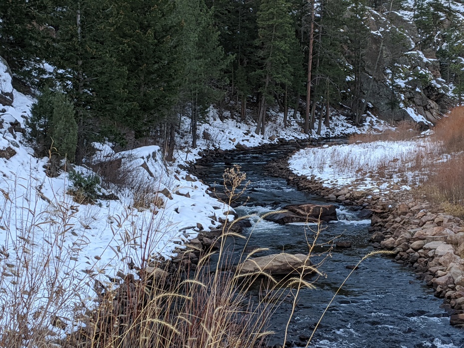
Gauge Conditions
Runnable: ? – ? CFS
Approximate - nearest available gauge. Use as general reference only.
Data from American Whitewater & USGS
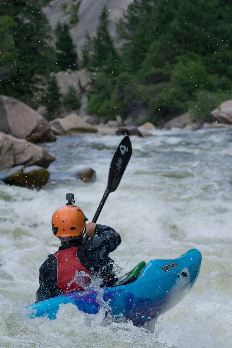
Photo

Photo courtesy of American Whitewater
Description
The Takeout features a series of technical boulder gardens with multiple line choices, requiring precise boat placement and quick maneuvering to avoid potential pin spots and undercut rocks. Paddlers should be prepared for moderate gradient and consecutive Class III drops that demand good boat control, with the primary line typically running center to center-right and offering a clean route through the most challenging sections.
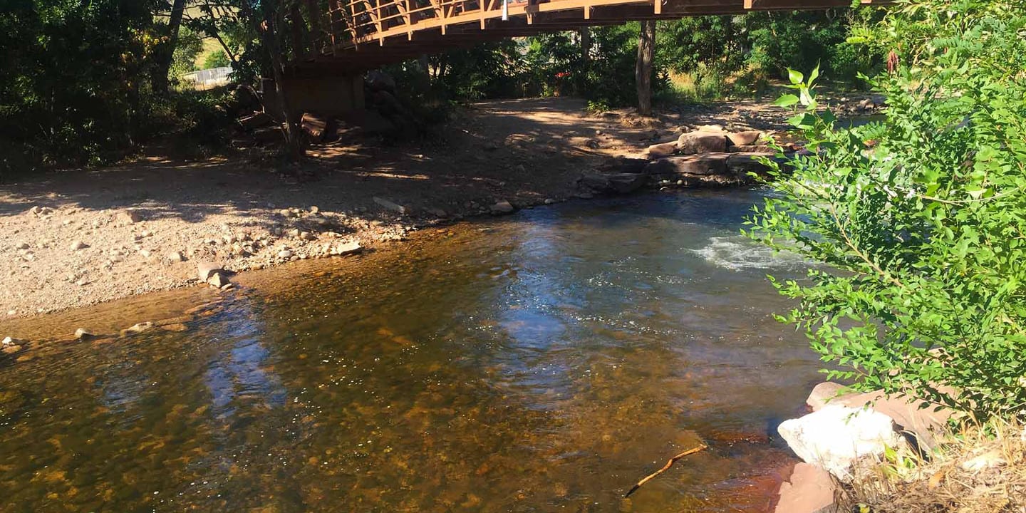
Location
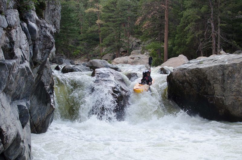
Other Rapids on This Run (14)
Rapid
IV
Peak To Peak Hwy
 Waterfall
V+
Waterfall
V+
Cascade #1
 Waterfall
V+
Waterfall
V+
Cascade #2
Rapid
IV
Rock Creek
 Rapid
III
Rapid
III
Cow Creek
 Rapid
V
Rapid
V
California Section
 Waterfall
V+
Waterfall
V+
Steep Section
 Waterfall
V+
Waterfall
V+
Clam Shack
 Waterfall
V+
Waterfall
V+
Significant Rapid
 Waterfall
V
Waterfall
V
Eye of the Needle
 Waterfall
V+
Waterfall
V+
The Slot
 Rapid
I
Rapid
I
Ralph Price Reservoir
Portage
I
Button Rock Dam
Portage
IV
Longmont Reservoir/Dam
View Full Run
01. Peak to Peak Hwy to Buttonrock Preserve
Saint Vrain Creek, North
V+
11.1 mi
Current Conditions
5-Day Forecast
Whitewater data from
American Whitewater
American Whitewater