Gauge Conditions
Data from American Whitewater & USGS
Photo
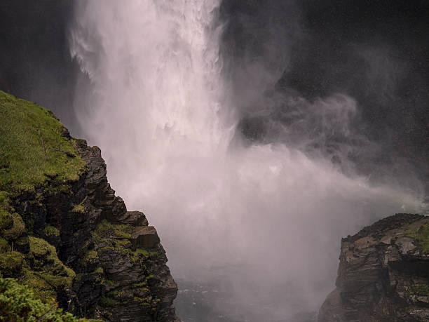
Photo courtesy of American Whitewater
Description
Last drop between the islands. The steeper drop is at a sharp right once the right side island ends.
Location
Other Rapids on This Run (3)


View Full Run
2. US Route 15-501 (Bynum) to Highway 64
Haw
I-III
4.2 mi
Current Conditions
5-Day Forecast
Whitewater data from
American Whitewater
American Whitewater