Gauge Conditions
Runnable: ? – ? CFS
Approximate - nearest available gauge. Use as general reference only.
Data from American Whitewater & USGS
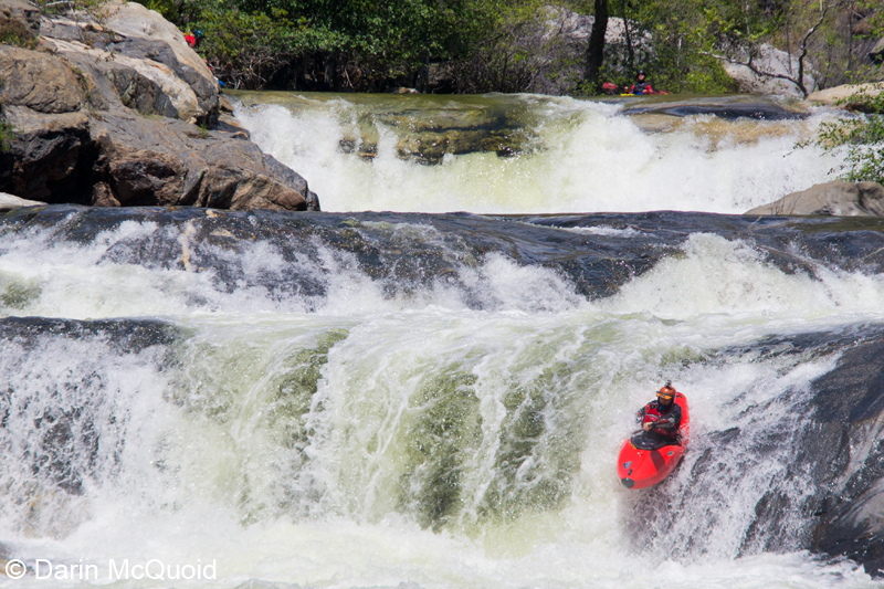
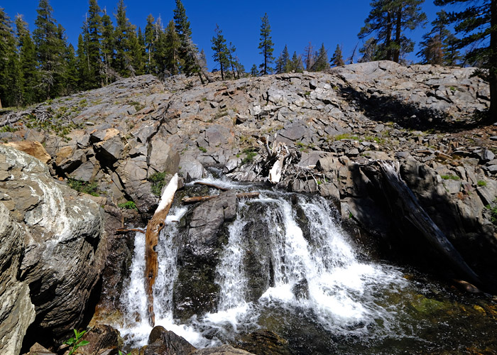
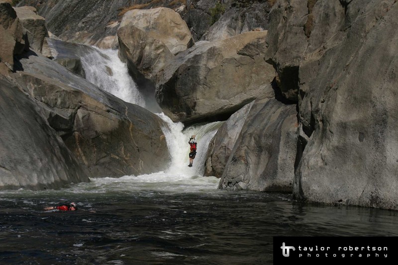
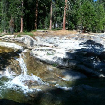
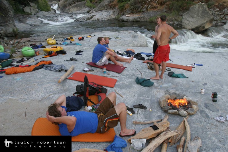
Photo
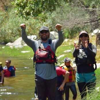
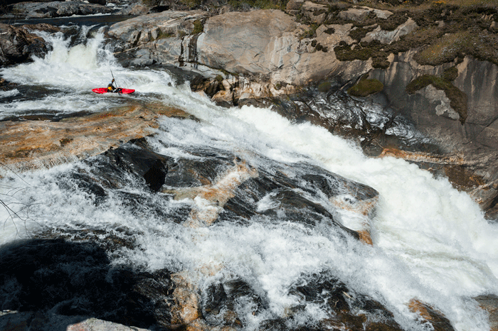
Photo courtesy of American Whitewater
Description
Google Earth has high resolution images of this area which can greatly help locate the easiest way down the hill. From the road hike down through an open area to find the faint trail through the bushes. It quickly leads to the top of a small cliff overlooking the creek. From there it traverses the cliff top south aiming for trees with less undergrowth and the granite slabs of Ross Creek. Once on the slabs, enjoy the easy progress. There will probably be a last bit of bushwacking at the bottom of the drainage before it reaches Dinkey
Location
Other Rapids on This Run (11)

View Full Run
3. Ross Creek Trail to confluence of NF Kings
Dinkey Creek
V+
6.6 mi
Current Conditions
5-Day Forecast
Whitewater data from
American Whitewater
American Whitewater