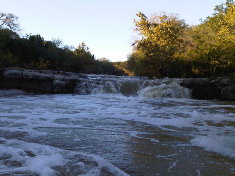
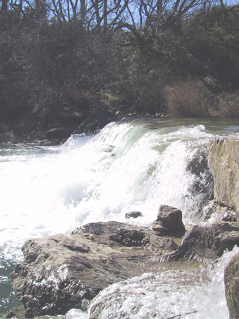
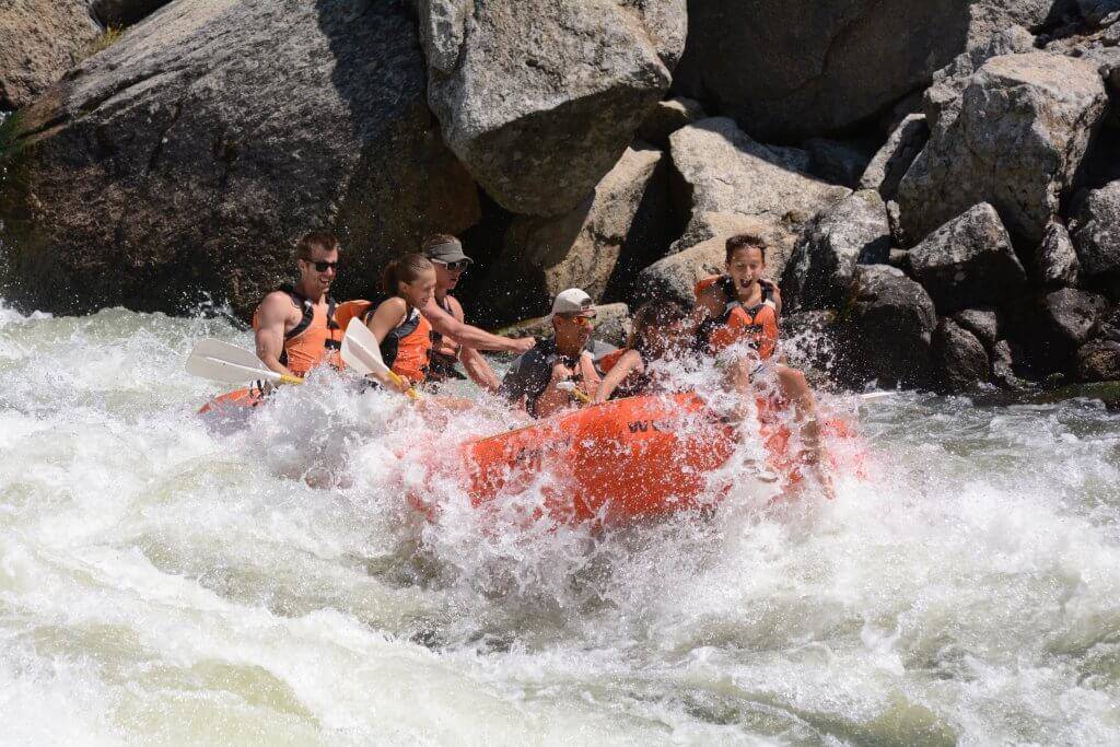
Twin Falls
Barton Creek - 2. Lost Creek to Loop 360 (Austin) (4.5 miles) (TX)
Gauge Conditions
Photo
Description
Above 400-500 cfs, Twin Falls can be run either left or right of the island. When running the left line at low to moderate flows (below 1000 cfs, especially), a tricky eddy line often pushes boaters into the trashy, retentive hole at the bottom of the drop. This hole has caused more than one expert boater to swim. At higher flows (2000 cfs, for instance), it becomes easier to sneak left around the hole.
Running to the right of the island is possible at moderate to high flows (generally around 400-500 cfs or above.) At moderate flows (below 1000 cfs), it involves paddling as close as you can to the island, then doing a sort of right-to-left diagonal boof (similar to a rail slide) off of a boulder and into the pool below. At high flows, right of the island becomes a straightforward line.
Bank scout/portage Twin Falls on river left.
Location
Current Conditions
5-Day Forecast
American Whitewater