Put-in
WA
Twin Falls Trailhead Put In
Snoqualmie, S. Fork - 2. Twin Falls State Park to 424th Ave SE cul-de-sac (WA)
Gauge Conditions
Runnable: 300.0 – 2,500.0 CFS
The gauge is located about 20 miles upstream of the put-in. It is accurate during the summer months, but during and after rain events it reads low.
Data from American Whitewater & USGS
Description
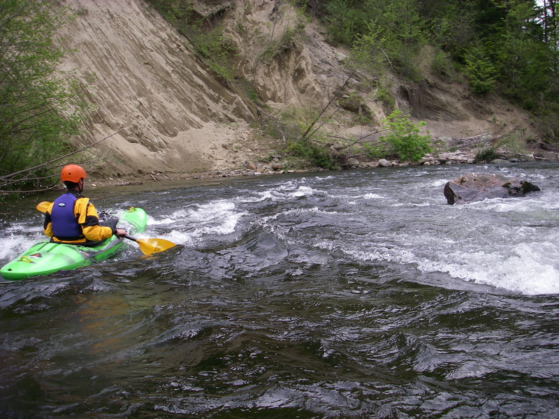
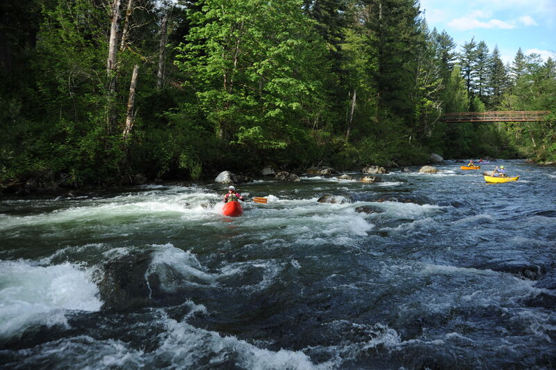
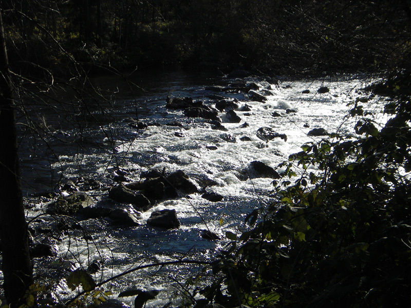
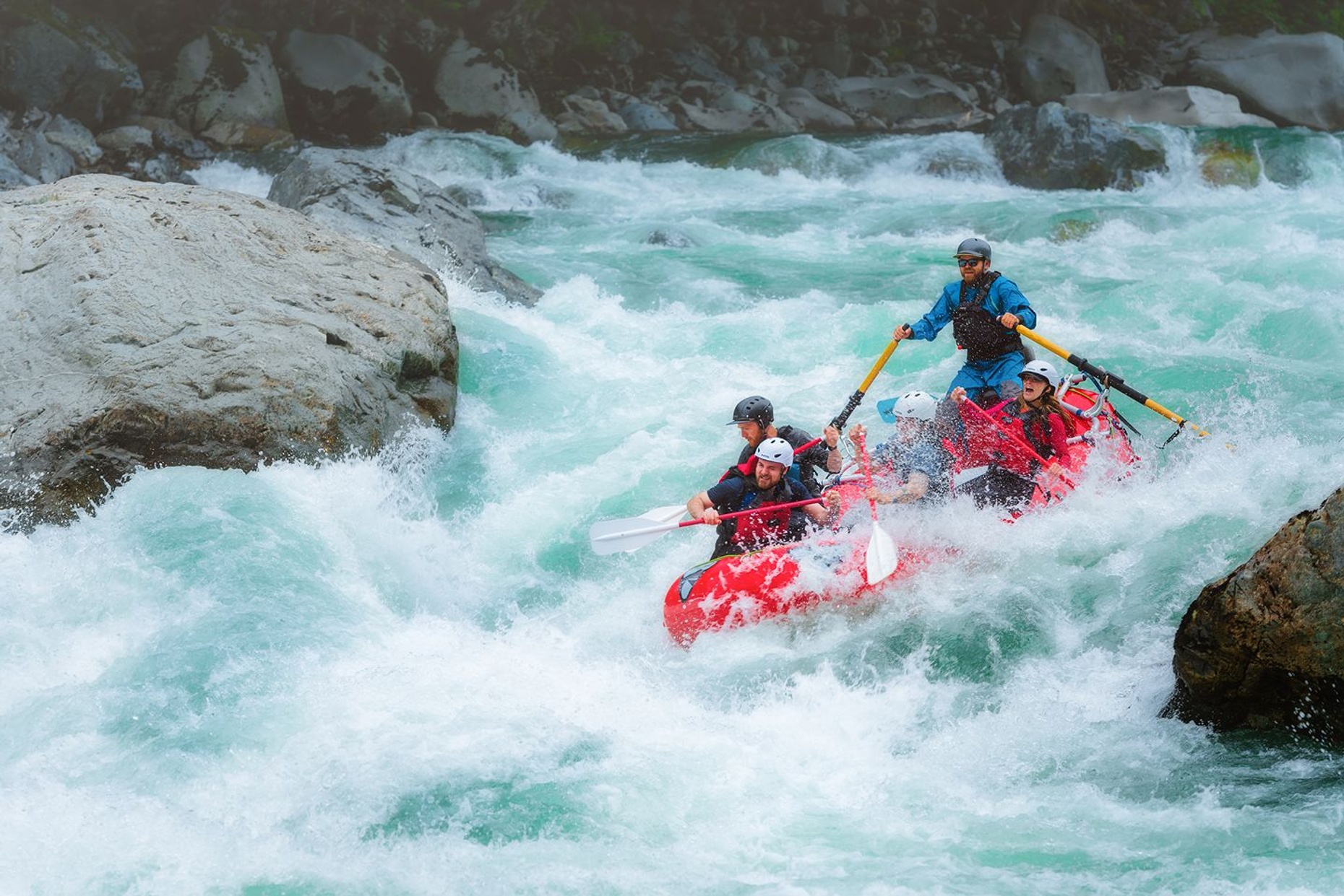
This access is the Twin Falls Trailhead at the end of SE 159th Street. Given the popularity of this hike, the parking lot can get crowded on weekends. To access the river, just walk from the parking lot to the river shoreline near the end of the parking lot where the trail starts.
Location
Other Rapids on This Run (5)
View Full Run
2. Twin Falls State Park to 424th Ave SE cul-de-sac
Snoqualmie, S. Fork
II+
4.5 mi
Current Conditions
5-Day Forecast
Whitewater data from
American Whitewater
American Whitewater