Gauge Conditions
Data from American Whitewater & USGS
View Full Run
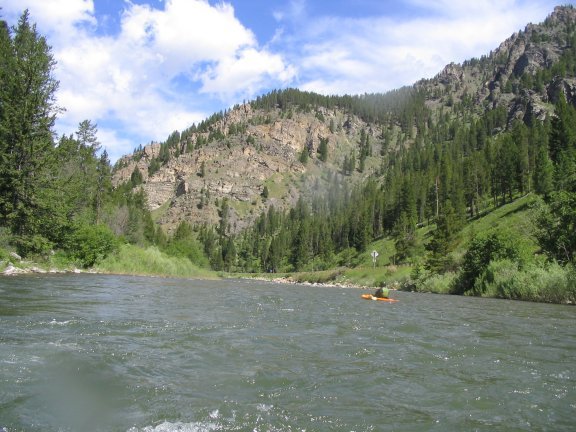
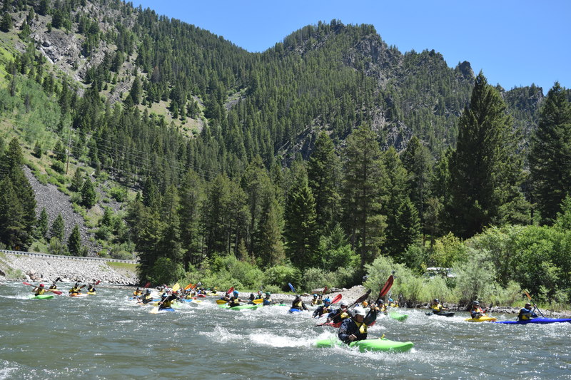
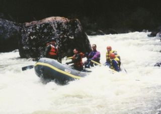
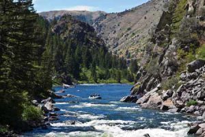
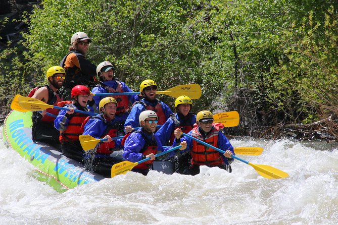
3. Greek Creek to Forest Service Take Out
Gallatin River
III-IV
7.6 mi
Current Conditions
5-Day Forecast
Whitewater data from
American Whitewater
American Whitewater