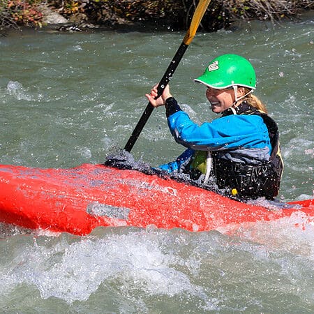
Rapid
WI
USGS sampling site
Marengo - C) Government Road to Bad River (4.8 miles) ** Access Issues ** (WI)
Gauge Conditions
Runnable: ? – ? CFS
Approximate - nearest available gauge. Use as general reference only.
Data from American Whitewater & USGS
Description
A USGS gauge (with drainage area of 195 square miles) has been in place since August, 2021. For water year 2023, it lists a maximum flow of 3040 cfs. Flow exceded 382.6 cfs 10% of the time (I.E., about 35 days of the year), and exceeded 49.8 cfs 90% of the time, giving a "10/90 Ratio" of 7.68. ("10/90" is a measure of 'flashiness': low numbers (2 or 3) represent very steady (not flashy) flows, high numbers (10 or above) represent flashy flows.)
Location
Other Rapids on This Run (2)

View Full Run
C) Government Road to Bad River (4.8 miles) ** Access Issues **
Marengo
I-II
4.9 mi
Current Conditions
5-Day Forecast
Whitewater data from
American Whitewater
American Whitewater