Gauge Conditions
Runnable: ? – ? CFS
Approximate - nearest available gauge. Use as general reference only.
Data from American Whitewater & USGS
Photo
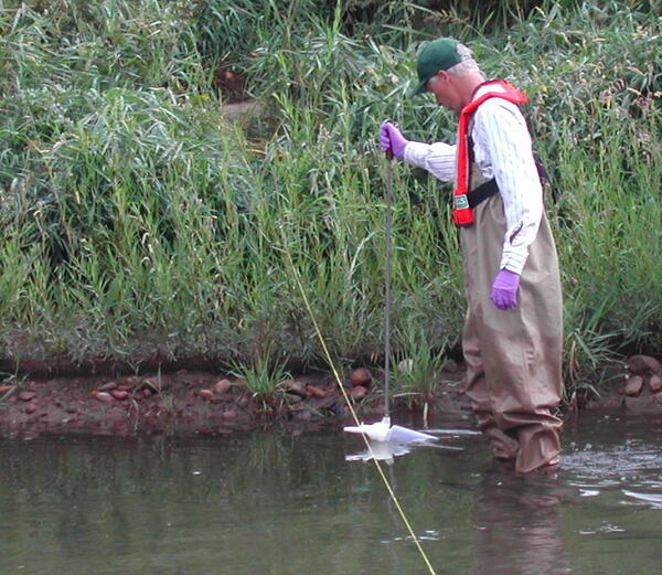
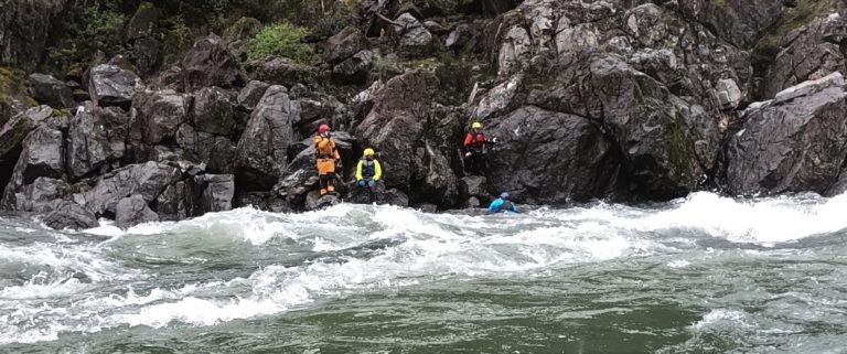
Photo courtesy of American Whitewater
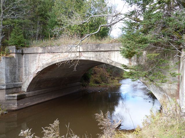
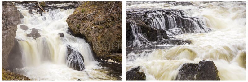
Description
USGS lists a sampling site on the E.Br.Firesteel (nearly 12 miles upstream of our suggested put-in), showing drainage at Hwy.36 of 13 square miles.
Location

View Full Run
N.Firesteel Road to Lakeshore Drive (12.5 miles)
Firesteel
I-II
12.3 mi
Current Conditions
5-Day Forecast
Whitewater data from
American Whitewater
American Whitewater