Gauge Conditions
Data from American Whitewater & USGS
Description
USGS lists a (one time) sampling site (2.1 miles (crow flies distance) upstream of our recommended PnP) with drainage area of 53.3 square miles. (The coordinates appear out-of-sync with the mapping layers, putting the listed coordinates a long ways from the Thunder, and nearer Handsaw Creek.)
At our suggested put-in (just above the first falls in Veterans Park), drainage is 72.5 square miles (as calculated by USGS StreamStats 4.3.11), so flow here *could* be about 0.162 times (or just under 1/6th) the reading on the Peshtigo gauge. (Obviously correlation cannot be assured.)
Location
Other Rapids on This Run (6)
View Full Run
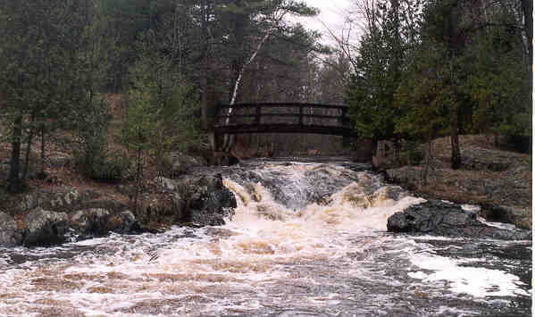
Veteran's Park (0.5 miles)
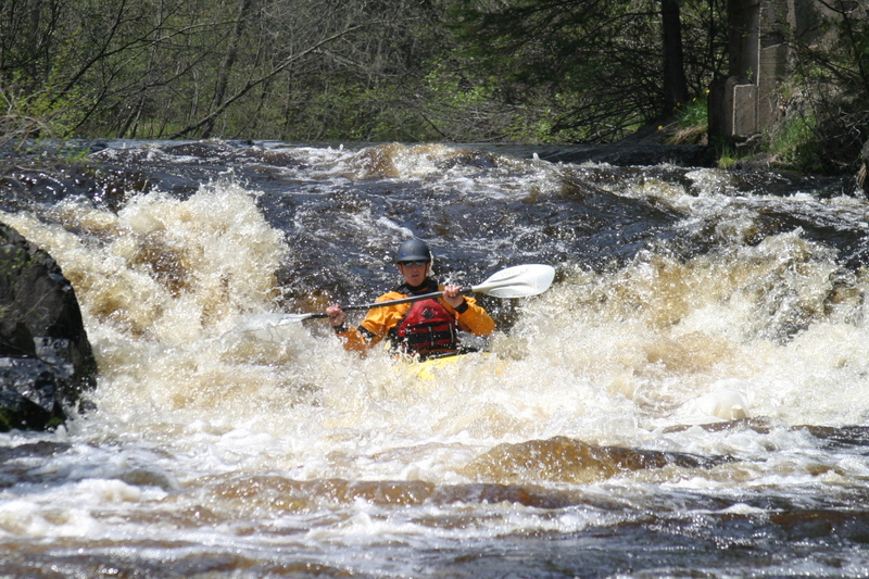
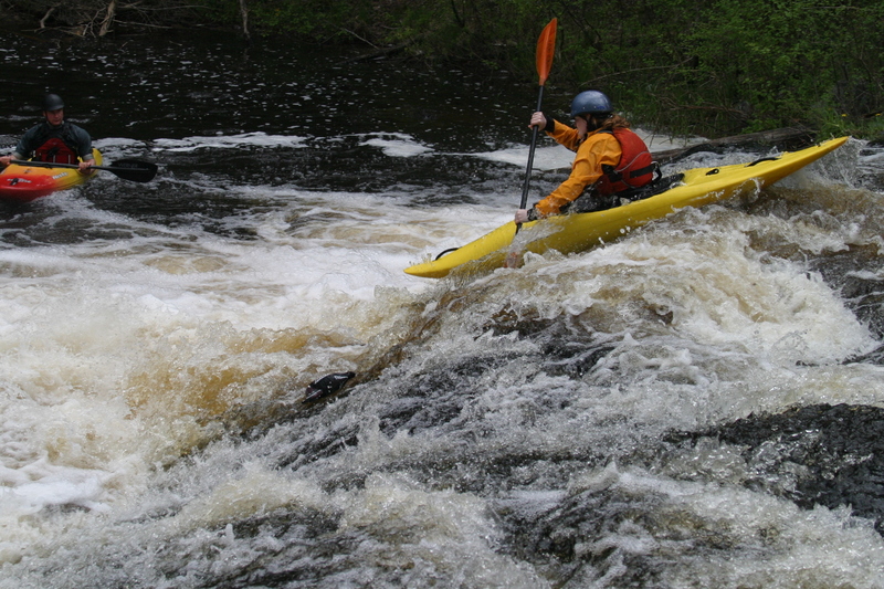
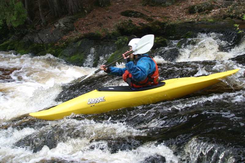
Thunder
II-III
0.4 mi
Current Conditions
5-Day Forecast
Whitewater data from
American Whitewater
American Whitewater