Gauge Conditions
Runnable: 200.0 – 2,000.0 CFS
Likely too low for enjoyable whitewater. Lower reach OK as a float trip.
Runnable: 800.0 – 4,000.0 CFS
Likely too low for enjoyable whitewater (Possibly 0-150 cfs in W.Twin). Lower reach OK as a float trip.
Data from American Whitewater & USGS
Description
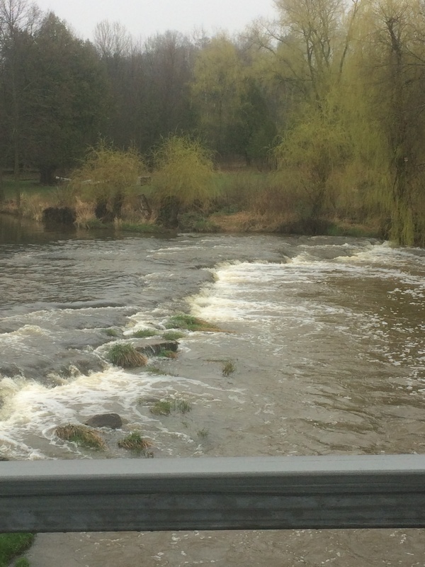
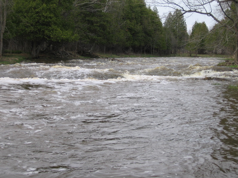
USGS lists a sampling site on Black Creek about 1.8 miles (crow-flies distance, not river distance) upstream of our listed put-in, citing drainage at that point as 21.7 square miles.
Drainage area at our listed put-in is approximately 71.2 sq.mi. (as calculated via USGS StreamStats Beta software). By our listed take-out, it has increased to 114 square miles (60% increase).
Location

View Full Run
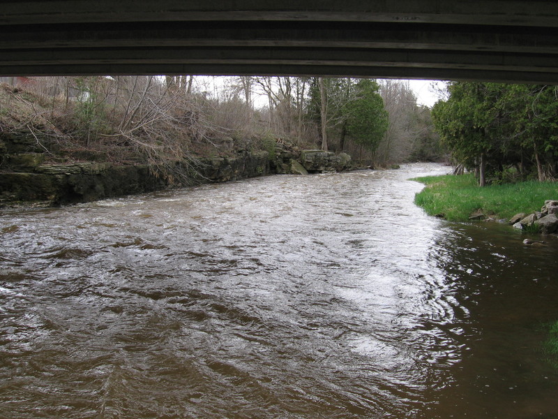
Zander Road to Hwy.147 (3.5 miles)
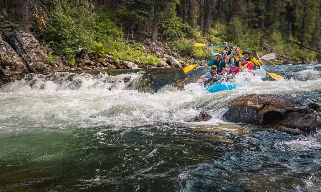
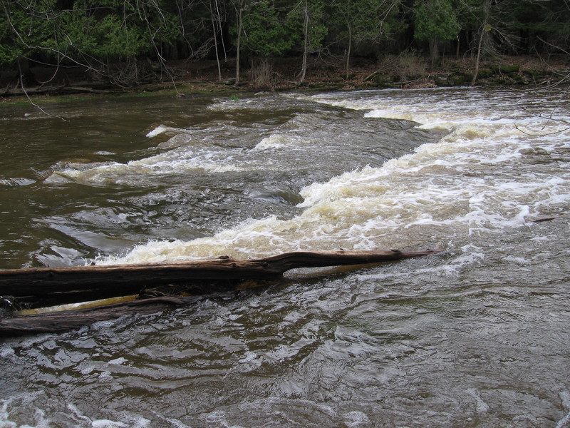
Neshota/West Twin
I-II(III)
3.5 mi
Current Conditions
5-Day Forecast
Whitewater data from
American Whitewater
American Whitewater