Gauge Conditions
Runnable: ? – ? CFS
Approximate - nearest available gauge. Use as general reference only.
Data from American Whitewater & USGS
Photo
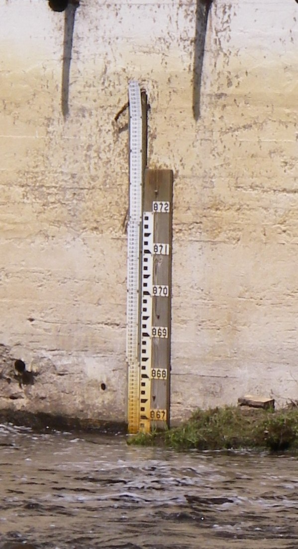
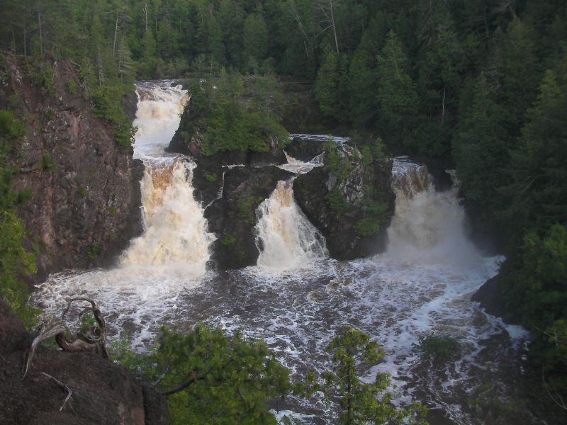
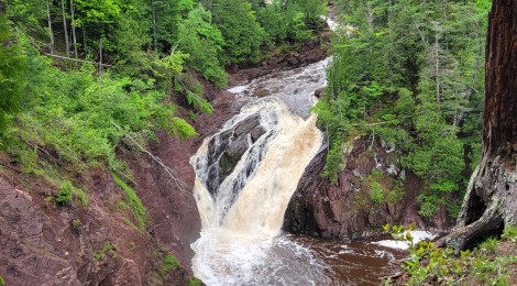
Photo courtesy of American Whitewater
Description
USGS station at Saxon Falls (04029990) lists a site with drainage area 262 square miles. The staff gage can be read at the powerhouse. The gage station was in service 1986 to 2017 reporting average daily flows. American Whitewater advocates for resestablishment of this gage as a real-time gage reporting flows.
Location
Other Rapids on This Run (4)
View Full Run
C) below Saxon Falls to Hwy. 122 (3.1 miles)
Montreal
II-III
3.1 mi
Current Conditions
5-Day Forecast
Whitewater data from
American Whitewater
American Whitewater