Put-in
WI
W Clay School Road Put-In
Black (Mississippi Trib.) - E) Hatfield Dam to Power Plant (3.2 miles) (WI)
Gauge Conditions
Runnable: ? – ? CFS
Approximate - nearest available gauge. Use as general reference only.
Data from American Whitewater & USGS
Description
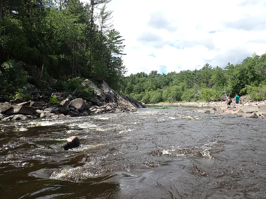
Located along W. Clay School Road, the put-in is on river left on land owned by the hydropower operator and access is provided as a condition of the hydropower license and a requirement to provide public access. Look for the prominent "No Camping" sign and another warning of the potential for rising water levels. Parking is available by pulling off the road and it is a 300 yard walk in to the river. Stay right where the trail forks staying alert for the signs that mark the way to "Kayak Access."
Location


View Full Run
E) Hatfield Dam to Power Plant (3.2 miles)
Black (Mississippi Trib.)
II-III(IV)
3.1 mi
Current Conditions
5-Day Forecast
Whitewater data from
American Whitewater
American Whitewater