Rapid
MT
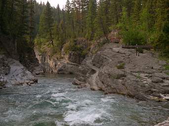
Youngs Creek - Danaher Creek Confluence
Flathead, South Fork - 1. Youngs Creek to Mid Creek (MT)
Gauge Conditions
Runnable: 5.0 – 15.0 FT
Flow range for best boatability uncertain. Please help your fellow boaters with a comment or report.
Data from American Whitewater & USGS
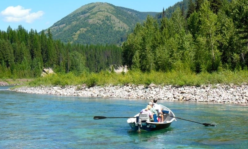
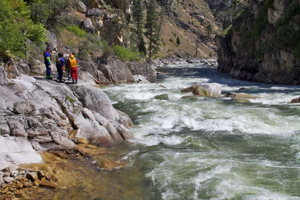
Photo

Photo courtesy of American Whitewater
Description
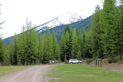
The confluence of Youngs Creek and Danaher Creek, deep in the Bob Marshall Wilderness, marks the start of the South Fork Flathead River and a potential starting point for trips. Be aware of channel-spanning log jams at the start that may require a portage over a gravel bar.
Location
Other Rapids on This Run (11)
 Rapid
Rapid
Pyramid Pass Trailhead - Access Trail to Put-in
 Rapid
Rapid
Lodgepole Creek Trailhead - Access Trail to Put-in
 Rapid
Rapid
Big Prairie Pack Bridge and Work Center
 Rapid
Rapid
White River confluence
 Rapid
Rapid
Salmon Forks Guard Station
 Rapid
Rapid
Black Bear Pack Bridge and Guard Station
 Rapid
Rapid
Black Bear Creek confluence
 Rapid
II
Rapid
II
Rapid
 Rapid
Rapid
Mid Creek confluence
 Rapid
Rapid
Mid Creek Take-out
 Rapid
N/A
Rapid
N/A
Meadow Creek Trailhead Accessing Take-out
View Full Run
1. Youngs Creek to Mid Creek
Flathead, South Fork
II+
37.0 mi
Current Conditions
5-Day Forecast
Whitewater data from
American Whitewater
American Whitewater