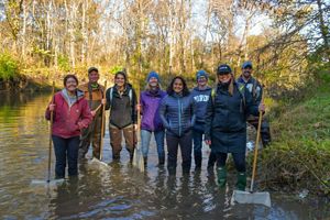
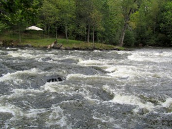
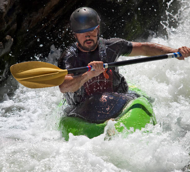
Whitewater Features
Explore mapped rapids, waterfalls, playspots, hazards, and portages across the United States.
24,753
Total Features
21,352
Rapids
855
Waterfalls
927
Playspots
1,513
Hazards
106
Portages
Choose a category to filter the map and list.
Map view
Whitewater features at a glance
Use category totals as filters, then open a marker for feature and river context.
Loading...
Map Legend
Rapids
Waterfalls
Playspots
Hazards
Portages
Rivers
Directory results
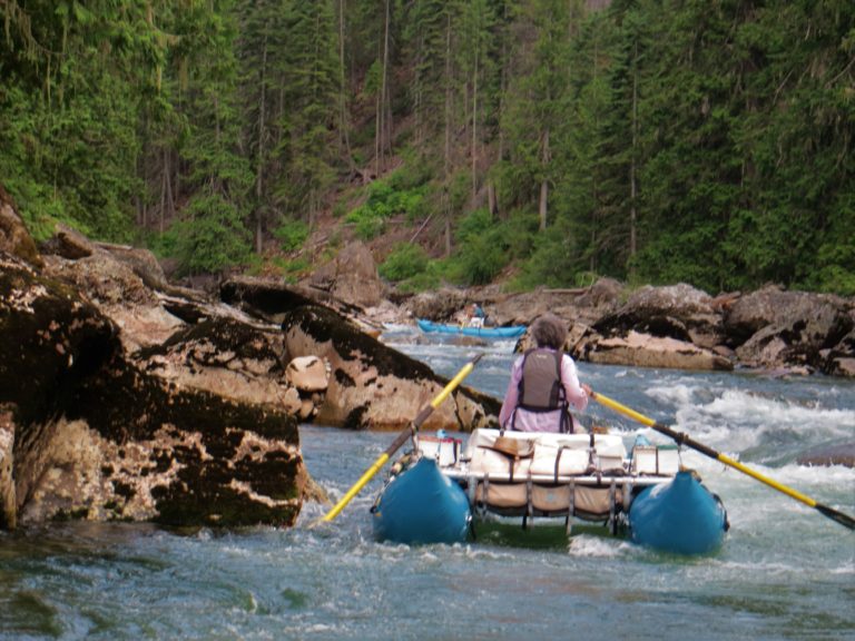
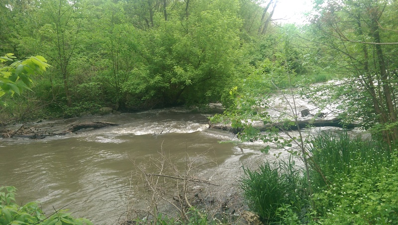
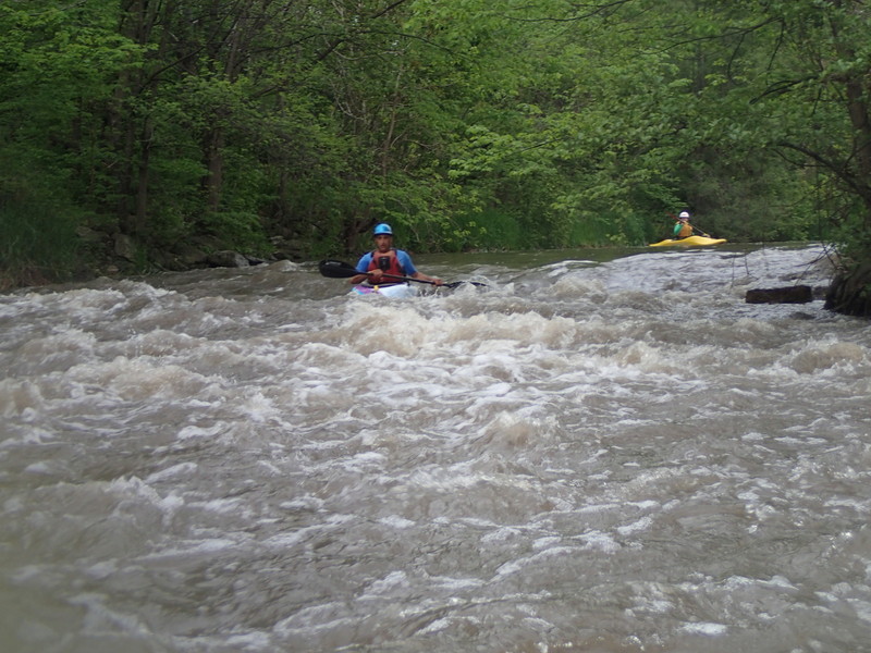
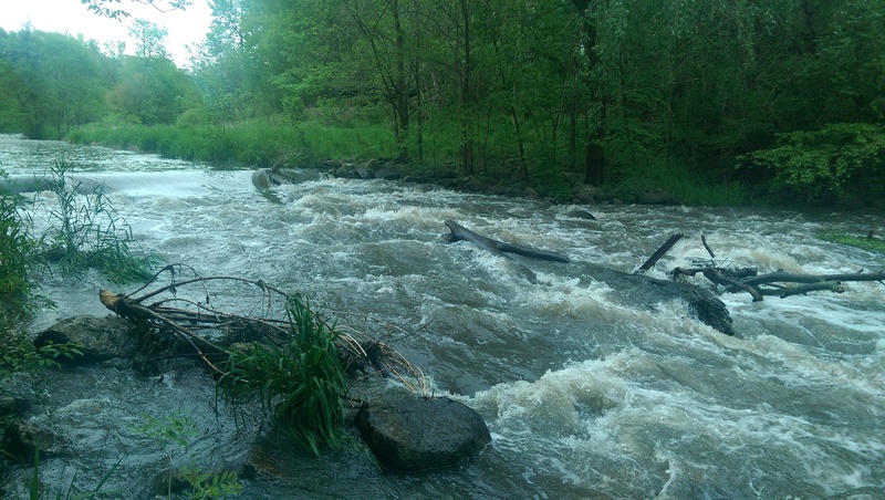
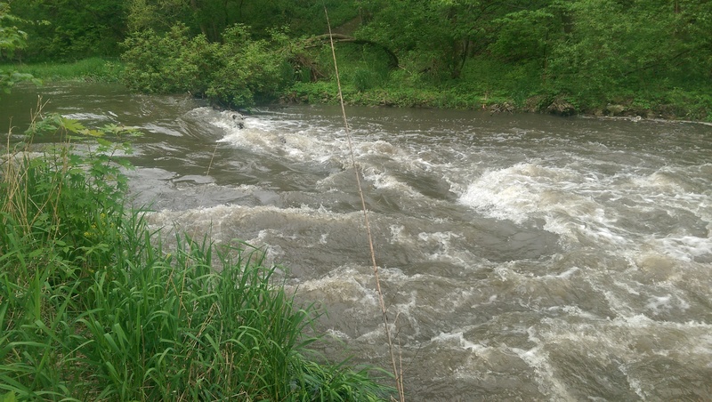
Rapids and river features
Difficulty and feature badges summarize the available source record.
Illinois 47 features
Take Out
Rapid
N/A
Dam
Hazard
N/A
Drainage: 36.4 sq.mi.
Rapid
N/A
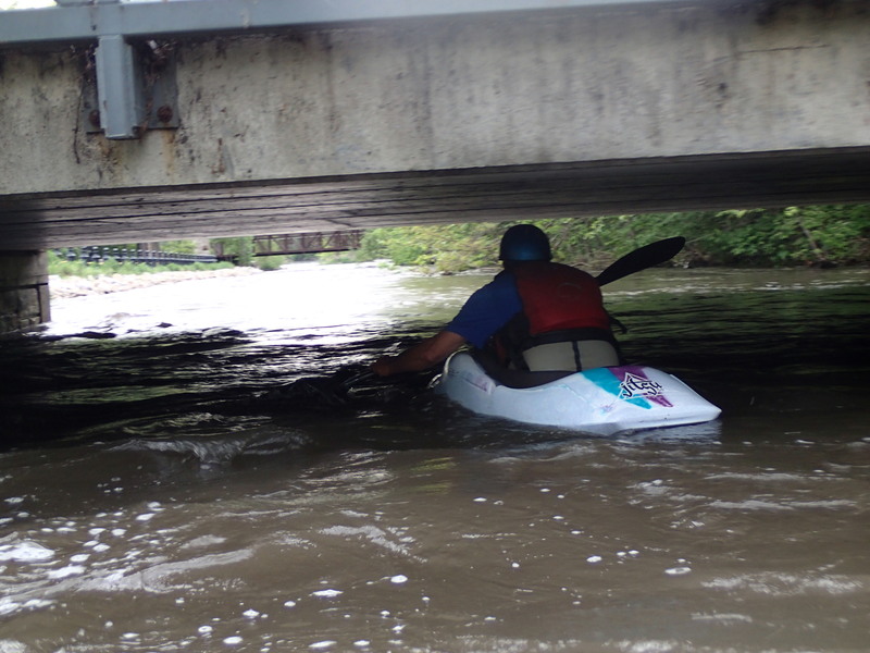
Low Bridge
Hazard
N/A
Put In
Rapid
N/A
Take Out
Rapid
N/A
Judson College Wave
Rapid
N/A
Put In
Rapid
N/A
Take Out
Rapid
N/A
USGS Gauge
Rapid
Wing Park Wave
Playspot
II
Bailey Creek
Rapid
N/A
Former Dam Site
Rapid
N/A
Hole in the Rock
Rapid
II
Put-in
Rapid
II
Rafting Put-in
Rapid
N/A
Railroad
Rapid
II-
S-Turn
Rapid
II
Side Creek
Rapid
N/A
Take-out: Vermilion River Boat Launch
Rapid
N/A
The Cliff
Rapid
I
The Narrows
Rapid
II
Wildcat
Rapid
III
Adams Street Bridge (MINIMAL CLEARANCE!)
Hazard
Bridge (#4)
Rapid
N/A

Golf Cart bridge (#2)
Rapid
N/A

Golf Cart Bridge (#3)
Rapid
N/A
Golf Cart Bridge (#5)
Rapid
N/A

Golf Cart Bridge (#6)
Rapid
N/A

Golf Cart Bridge (#7)
Rapid
N/A
Hwy.34 / Peyton Memorial Highway
Rapid
N/A
Library Waves
Rapid
II-
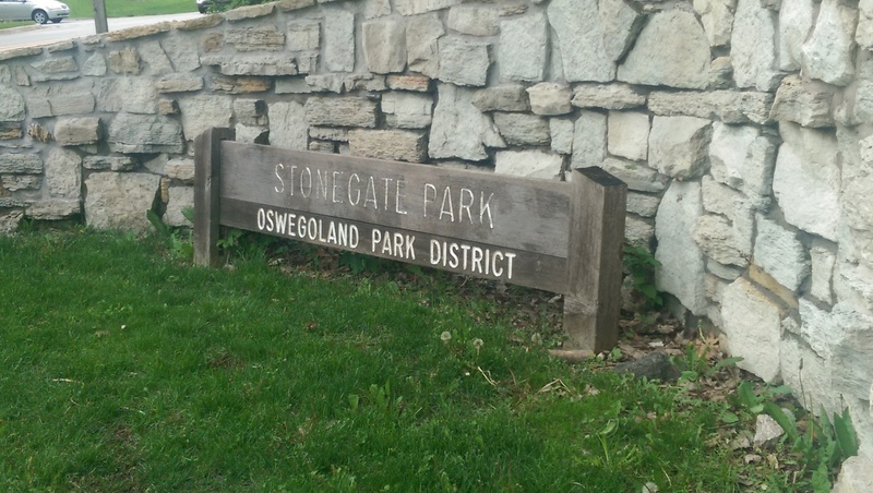
Madison Street / Stone Gate Park
Rapid
N/A
Maintainance / Golf Cart bridge (#1)
Rapid
N/A
MOST LIKELY PUT-IN: Uppermost extent of Stonegate Park?
Rapid
N/A
Nice Drop
Rapid
II
Pearce Cemetery
Rapid
N/A
Pfund Court
Rapid
N/A
playspot (#1)
Playspot
II
playspot (#2)
Playspot
II
playspot (#4)
Playspot
II
playspot (#5)
Playspot
II
playspot (#6)
Playspot
II
playspot? (#3)
Playspot
II
Possible Put In
Rapid
N/A
Take Out
Rapid
N/A
Waubonsee Lake Park Dam
Playspot
II