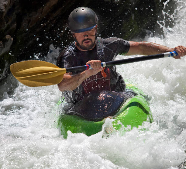
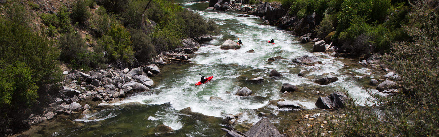
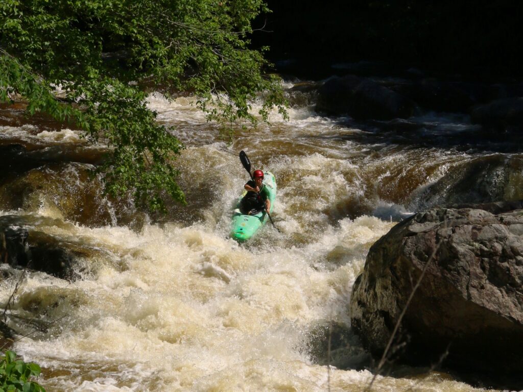
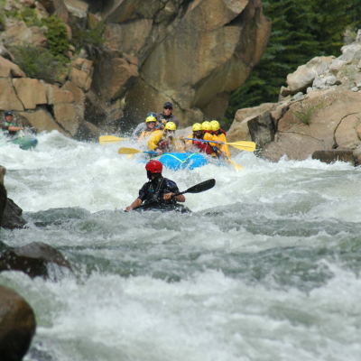
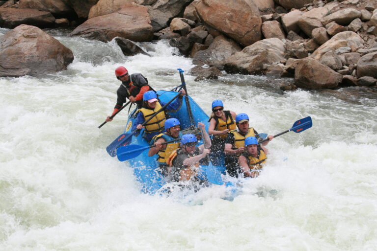
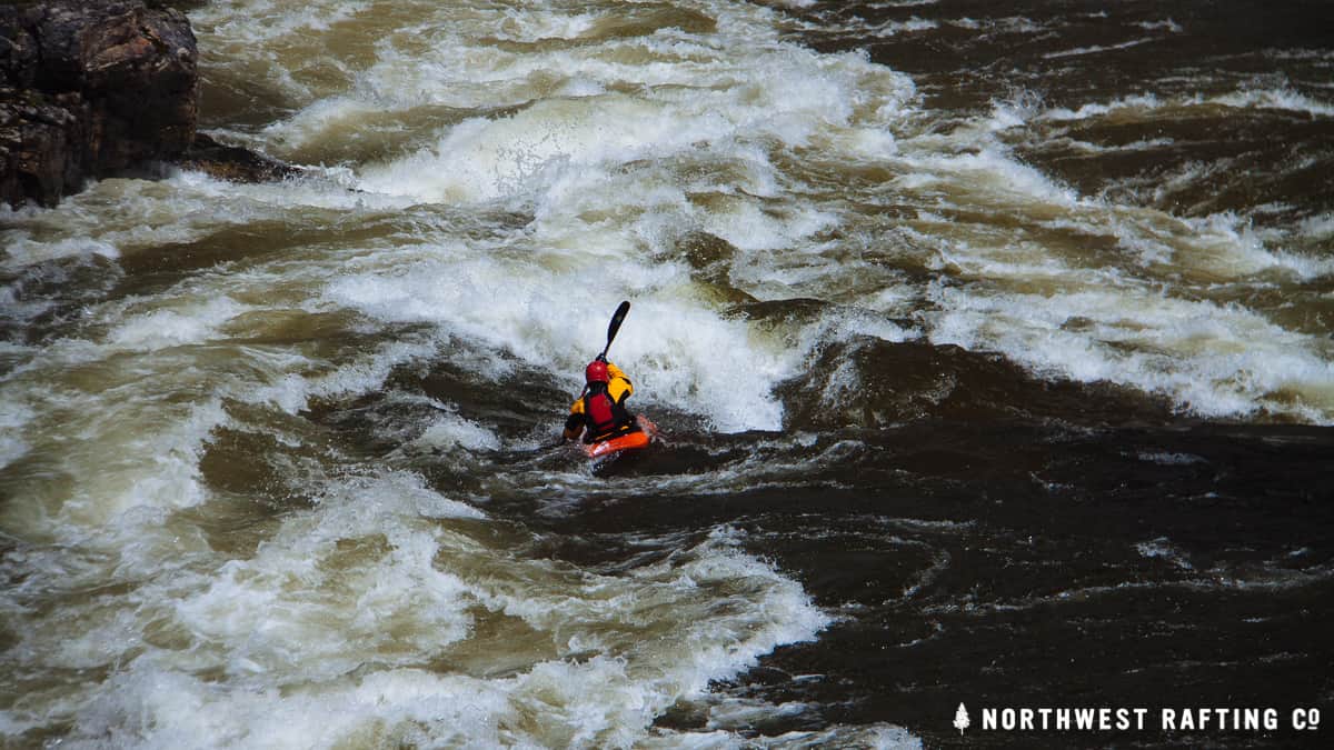
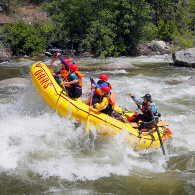
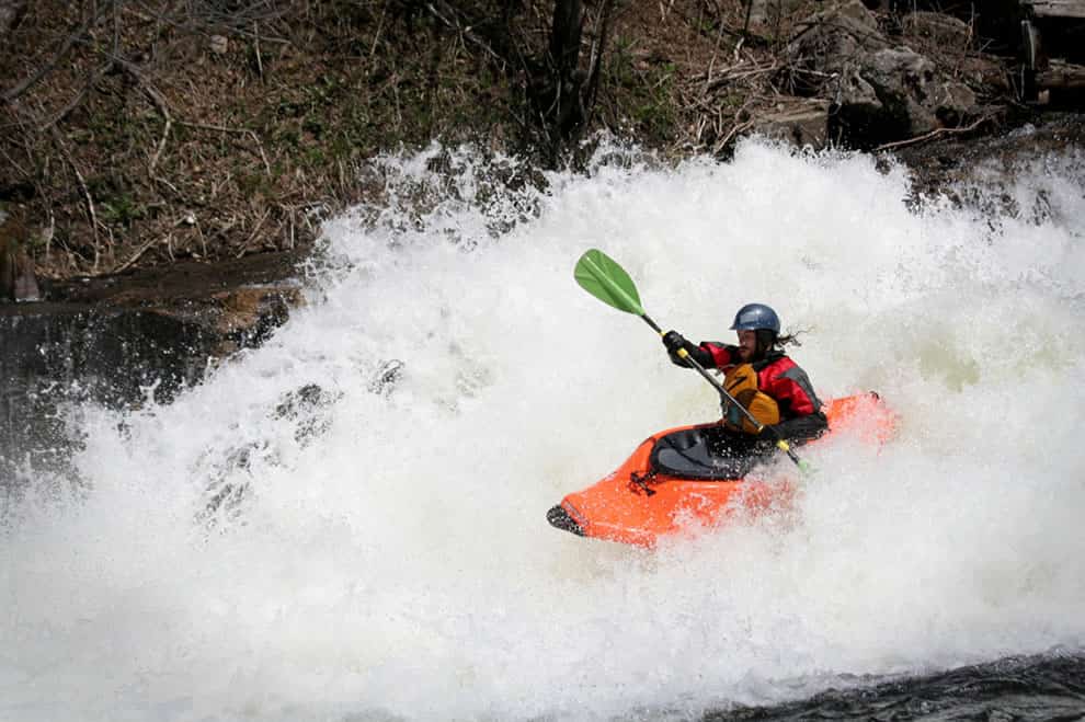
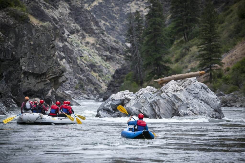
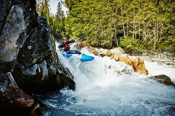
Whitewater Features
Explore mapped rapids, waterfalls, playspots, hazards, and portages across the United States.
24,753
Total Features
21,352
Rapids
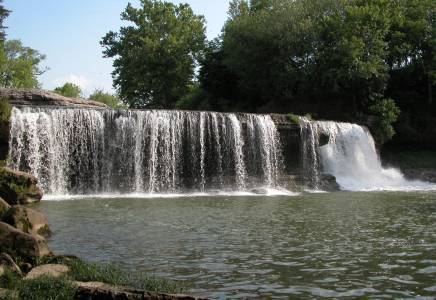
855
Waterfalls
927
Playspots
1,513
Hazards
106
Portages
Choose a category to filter the map and list.
Map view
Whitewater features at a glance
Use category totals as filters, then open a marker for feature and river context.
Loading...
Map Legend
Rapids
Waterfalls
Playspots
Hazards
Portages
Rivers
Directory results
Rapids and river features
Difficulty and feature badges summarize the available source record.
Indiana 48 features
Take Out
Rapid
N/A
Unnamed Feature
Rapid
N/A
59th St.Harbour/Promontory Point
Rapid
N/A
Illinois Beach State Park
Playspot
N/A
Montrose
Playspot
N/A
Tower Road
Playspot
N/A
Waukegan - North Beach Park
Playspot
N/A
Drainage: ~34 sq.mi.
Rapid
N/A

Put In
Rapid
N/A
Take Out
Rapid
N/A
Put In
Rapid
N/A
Take Out
Rapid
N/A
Lower Cataract
Waterfall
IV
Put In
Rapid
N/A

Take Out
Rapid
N/A
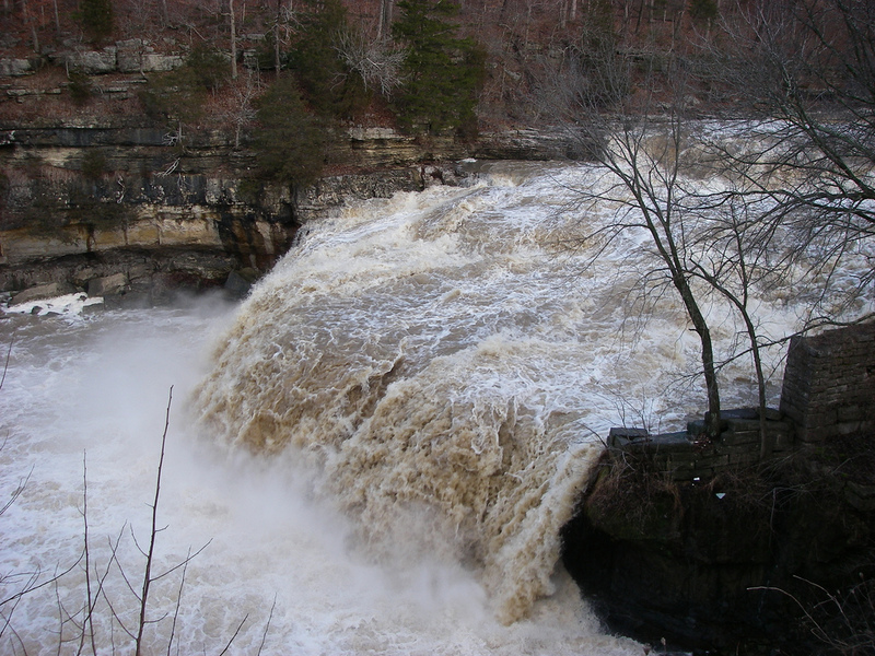
Upper Cataract
Waterfall
V
Drainage: ~88 sq.mi.
Rapid
N/A
Put In
Rapid
N/A
Take Out
Rapid
N/A
Drainage: ~175 sq.mi.
Rapid
N/A
Put In
Rapid
N/A
Take Out
Rapid
N/A
Alternate put-in
Rapid
N/A
Drainage: ~3 sq.mi.
Rapid
N/A
Put In
Rapid
N/A
Take Out
Rapid
N/A
Drainage: 11 sq.mi.
Rapid
N/A
Put In
Rapid
N/A
Take Out
Rapid
N/A
Drainage: ~94 sq.mi.
Rapid
N/A
Eddy Turn
Playspot
I
Put In
Rapid
N/A
Take Out
Rapid
N/A
Drainage: ~4 sq.mi.
Rapid
N/A
Put In
Rapid
N/A

Take Out
Rapid
N/A
Biggest Drop / V-Wave
Rapid
N/A
Drainage: ~3,587 sq.mi.
Rapid
N/A
Exit Wave
Rapid
N/A
Play Wave
Rapid
N/A
Put In
Rapid
N/A
Scissors Gates
Rapid
N/A
Take Out
Rapid
N/A
Trestle
Rapid
N/A
Drainage: ~719 sq.mi.
Rapid
N/A
Put In
Rapid
N/A

Take Out
Rapid
N/A
County Line Road / County Road 1200W
Rapid
N/A