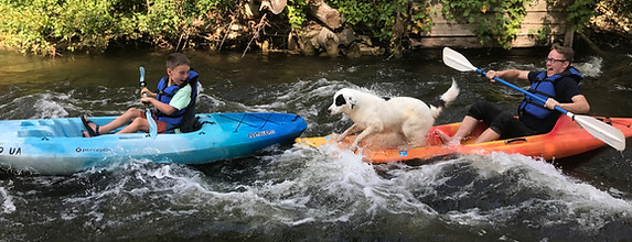
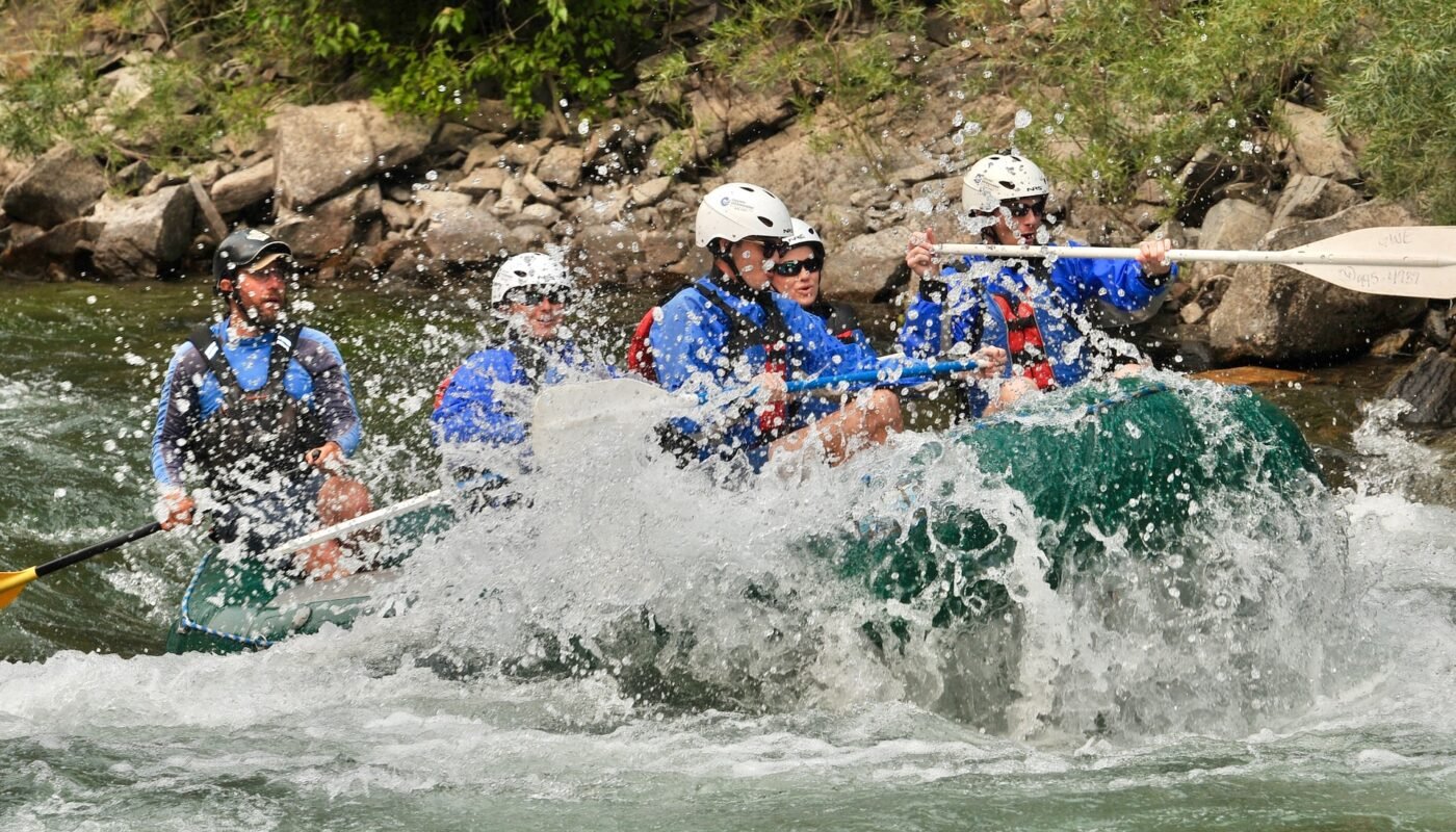
Whitewater Map
Explore rapids, waterfalls, playspots, hazards, and portages across the United States
24,753
Total Features
21,352
Rapids
855
Waterfalls
927
Playspots
1,513
Hazards
106
Portages
Click a category above to filter the map and list
Loading...
Map Legend
Rapids
Waterfalls
Playspots
Hazards
Portages
Rivers
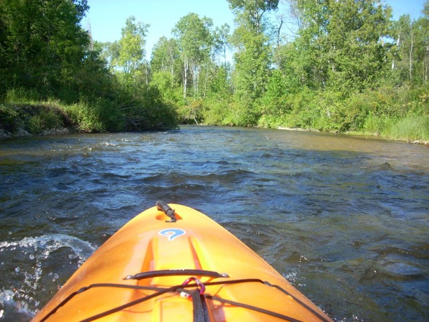
Michigan 48 features
Old US Hwy.41
Rapid
N/A
Powerline Crossing
Rapid
N/A

Put In
Rapid
N/A

Put In
Rapid
N/A
Put In
Rapid
N/A

Put In
Rapid
N/A
Take Out
Rapid
N/A

Take Out
Rapid
N/A

Take Out
Rapid
N/A
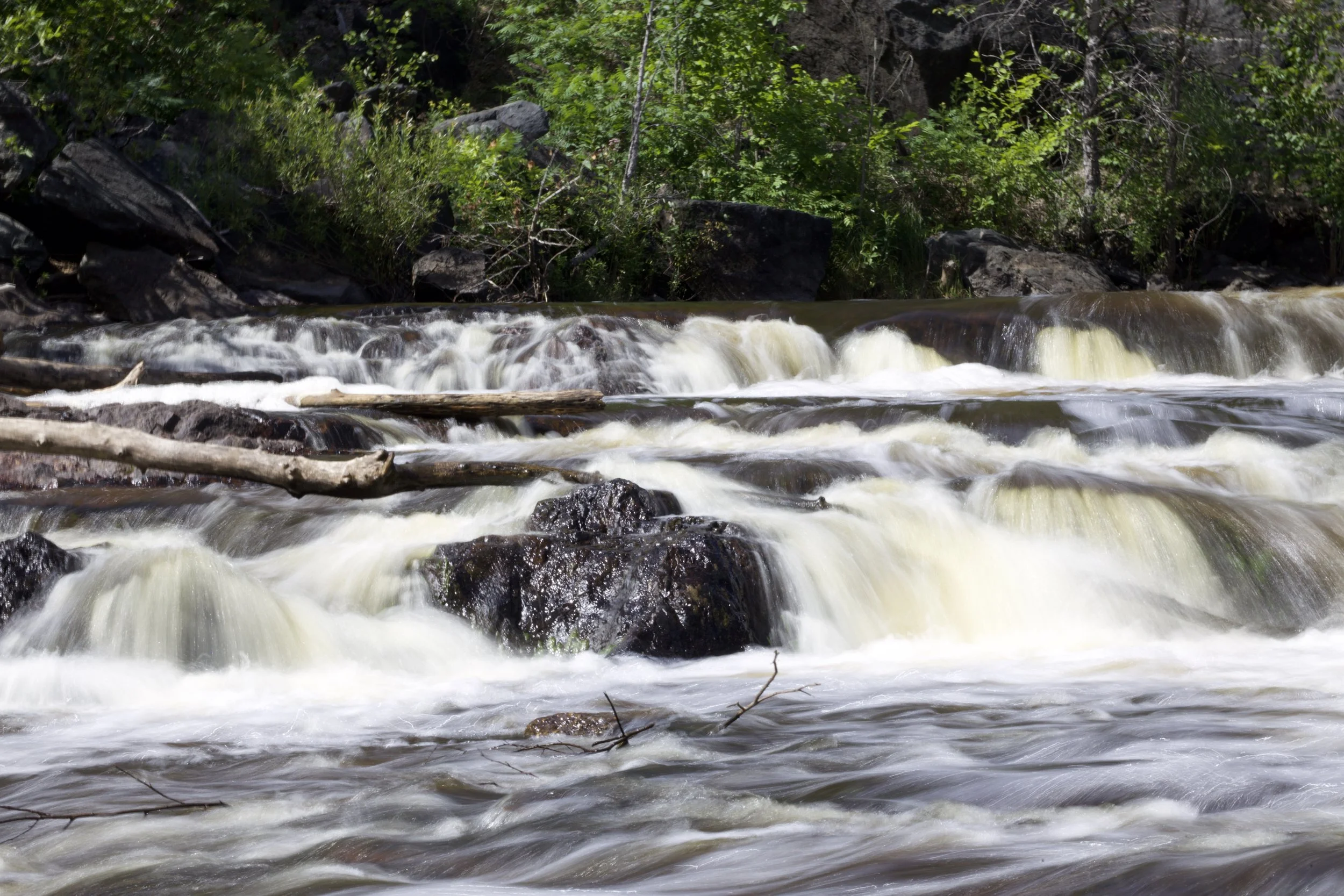
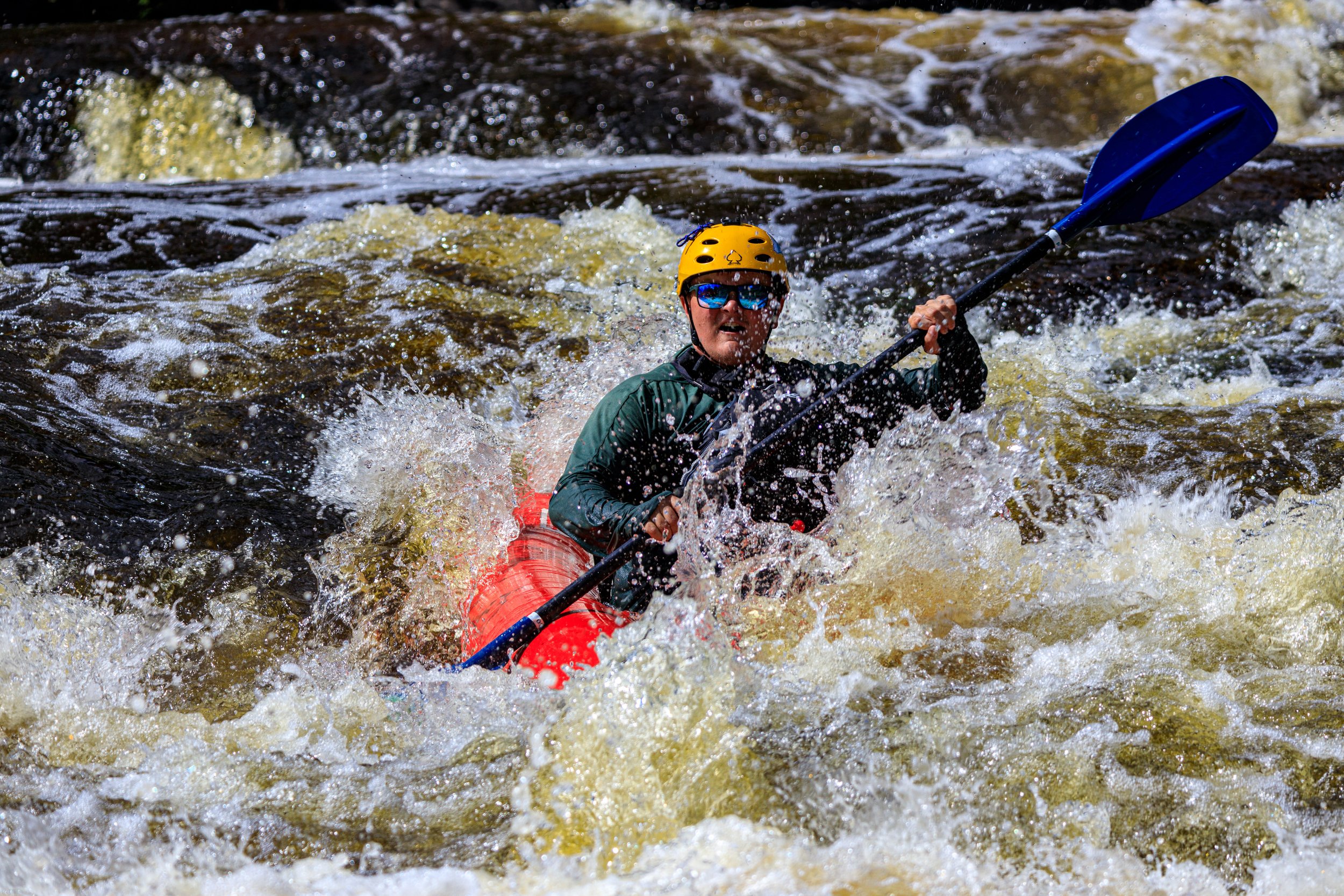
Tibbets Falls
Rapid
IV
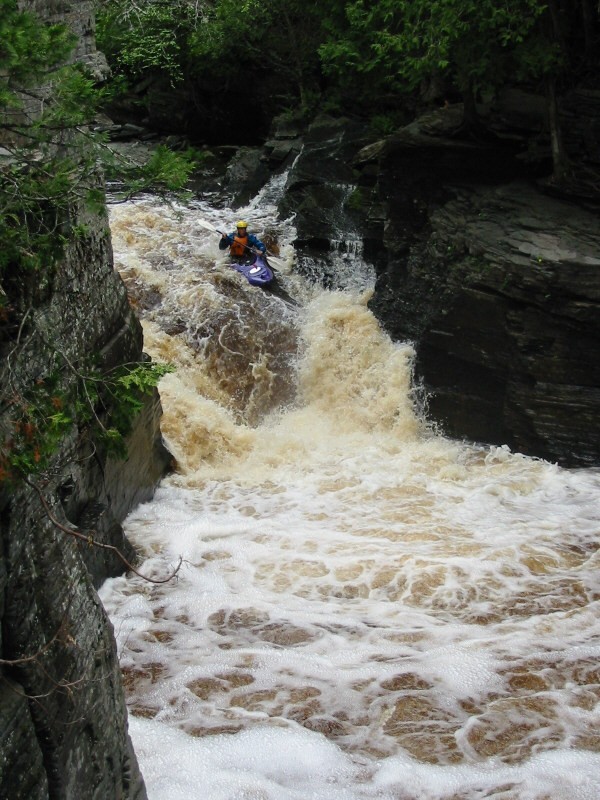
Unnamed Falls
Waterfall
IV
Upper Falls
Waterfall
III+
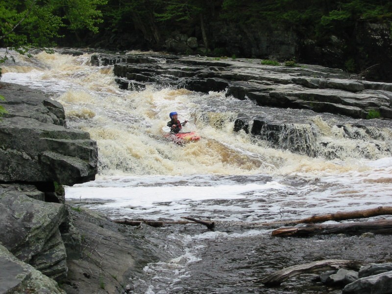
Warm-up Waves
Playspot
II+
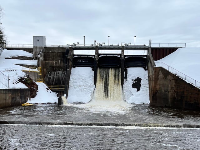
Weir/Dam
Hazard
N/A
marked rapids (#1)
Rapid
N/A
marked rapids (#2)
Rapid
N/A
marked rapids (#3)
Rapid
N/A
marked rapids (#4)
Rapid
N/A
Put In
Rapid
N/A
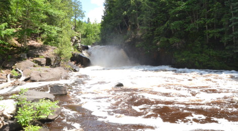
Sturgeon Falls
Waterfall
N/A
Take Out
Rapid
N/A
USGS sampling site
Rapid
N/A
Alternate Put-in #1
Rapid
N/A
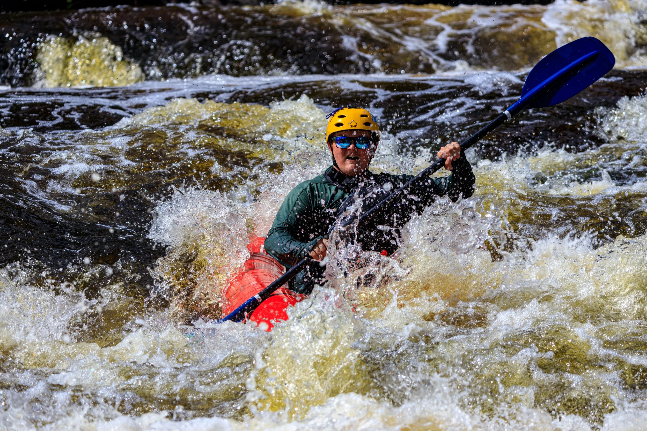
Caught in the act (of portaging)
Rapid
N/A
Caught in the act!
Rapid
N/A
Confluence with West Branch
Playspot
N/A
Deadfall?
Rapid
N/A
Deadfall?
Rapid
N/A
Fisher Woods Road
Rapid
N/A
Freeway Trail
Rapid
N/A
Haakwood State Forest Campground
Rapid
N/A
Interstate 75
Rapid
N/A
More caught in the act
Rapid
N/A
Nomisteco Rd
Rapid
N/A
North Central State Trailhead
Rapid
N/A
Park-and-Ride Lot / Take-out
Rapid
N/A
Possible Access
Rapid
N/A
Possible obstruction/feature?
Rapid
N/A
Possible Put-in?
Rapid
N/A
Put In
Rapid
N/A
Rondo Road
Rapid
N/A
Sturgeon Valley Campground
Rapid
N/A
Take Out
Rapid
N/A
Trowbridge Road
Rapid
N/A
Trowbridge Road
Rapid
N/A
USGS Gauge: 192 sq.mi.
Rapid
N/A

White Road
Rapid
N/A
White Road
Rapid
N/A