Whitewater Map
Explore rapids, waterfalls, playspots, hazards, and portages across the United States
24,753
Total Features
21,352
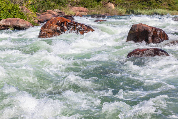
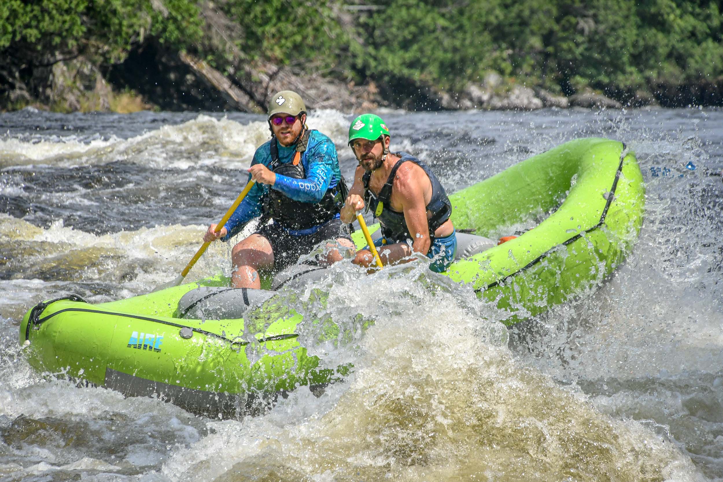
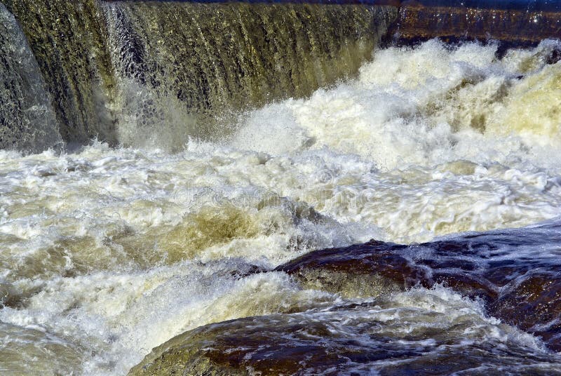
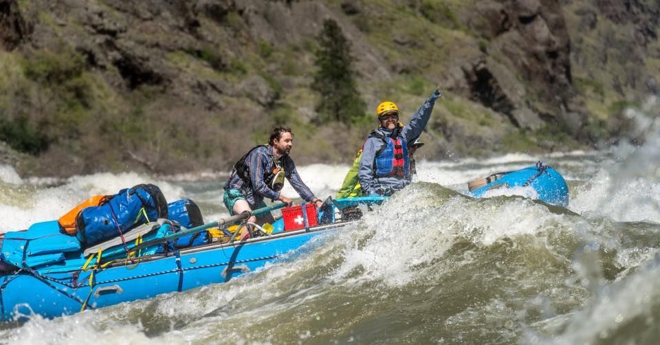
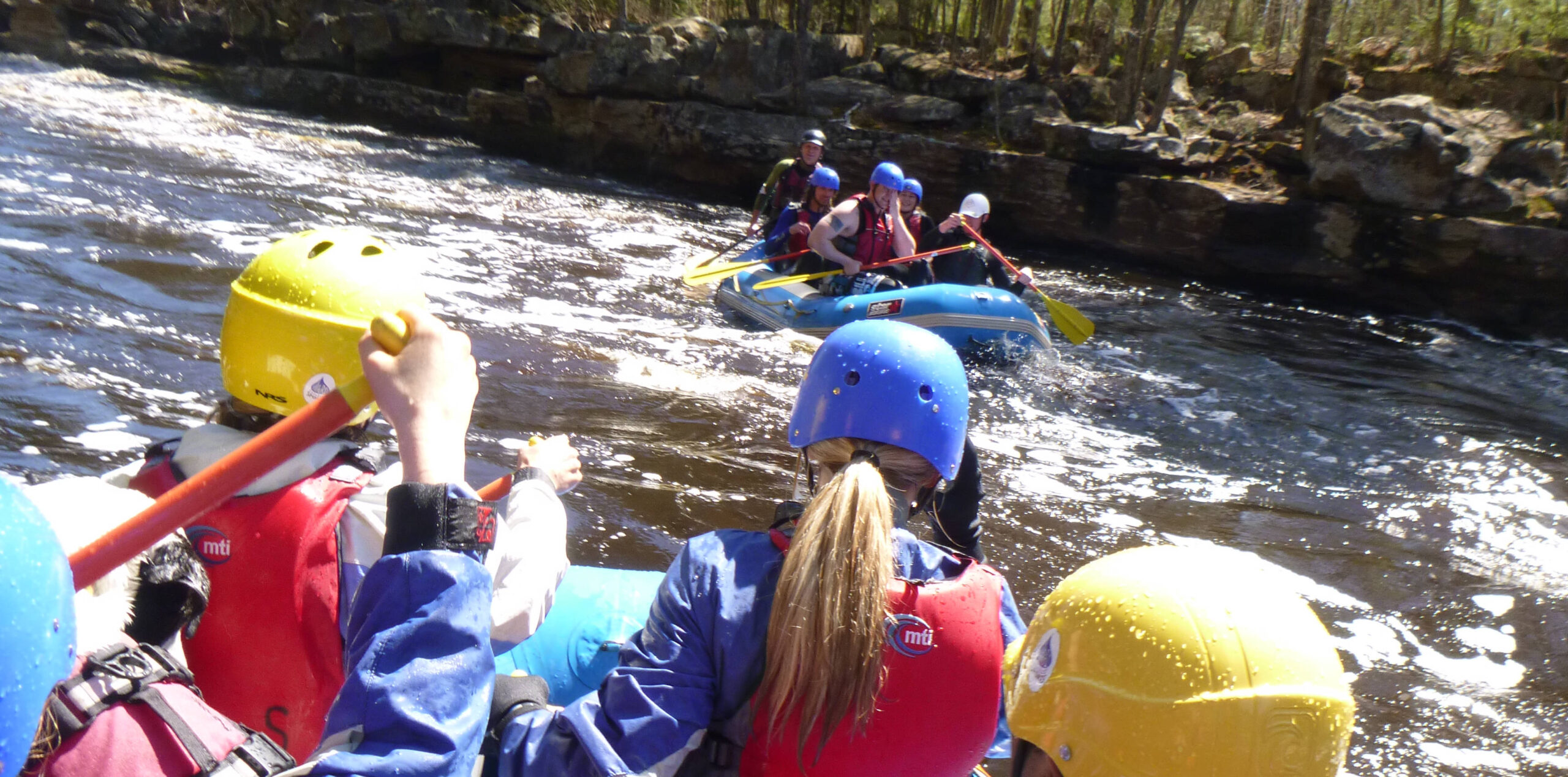
Rapids
855
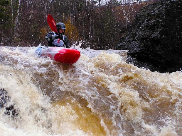
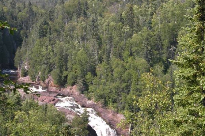
Waterfalls
927
Playspots
1,513
Hazards
106
Portages
Click a category above to filter the map and list
Loading...
Map Legend
Rapids
Waterfalls
Playspots
Hazards
Portages
Rivers
Minnesota 48 features
Early going / Stanley Creek Confluence
Rapid
N/A
Little Knife Confluence/Hwy.61
Waterfall
N/A
Private Residence
Rapid
N/A

Put In
Rapid
N/A
Rock/Chute
Rapid
N/A
Rocky Jumble
Rapid
N/A
Unnamed Tributary
Rapid
N/A
Mouth of the Lester
Rapid
N/A
Park Point
Rapid
N/A
Put In
Rapid
N/A
Stony Point
Playspot
N/A
Take Out
Rapid
N/A
Put In
Rapid
N/A
Take Out
Rapid
N/A
USGS sampling site
Rapid
N/A
(Unnamed) Rapids
Rapid
N/A
Confluence: Rice River (combined drainage 215.3 sq.mi.)
Rapid
N/A
Drainage: ~288 sq.mi.
Rapid
N/A
Drainage: 56 sq.mi.
Rapid
N/A
Durant Rapids
Rapid
N/A
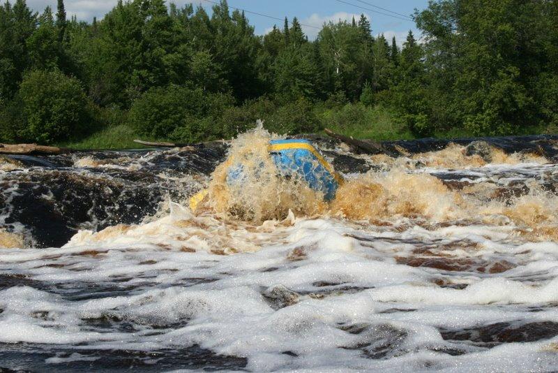
Hanine Falls
Hazard
IV

Put In
Rapid
N/A
Put In
Rapid
N/A
Take Out
Rapid
N/A

Take Out
Rapid
N/A
Twite Rapids
Rapid
N/A
Unnamed (or unknown name) rapids #1
Rapid
N/A

Unnamed (or unknown name) rapids #2
Playspot
N/A
Drainage: 125 sq.mi.
Rapid
N/A
Put In
Rapid
N/A

Take Out
Rapid
N/A
Balsam Creek
Rapid
N/A

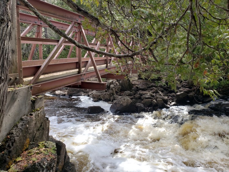
bridge
Rapid
N/A

Bridge
Rapid
N/A
Confluence
Rapid
N/A
Confluence, Moose Creek
Rapid
N/A
Confluence, S.Br.Manitou
Rapid
N/A
Drainage: 12 sq.mi.
Rapid
N/A
Falls!
Rapid
VI
Head of gradient
Rapid
N/A
Head of rapids
Rapid
N/A
Head of upper gradient
Rapid
N/A

Ledge!
Hazard
N/A
Pinball
Rapid
N/A
Pinball/Canyon Portage
Rapid
N/A
POWER LINES
Rapid
N/A
Powerline & RR Crossing
Rapid
N/A
Put In
Rapid
N/A