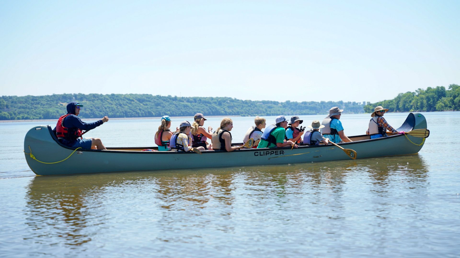
Whitewater Map
Explore rapids, waterfalls, playspots, hazards, and portages across the United States
24,753
Total Features
21,352
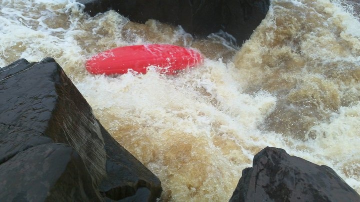
Rapids
855
Waterfalls
927
Playspots
1,513
Hazards
106
Portages
Click a category above to filter the map and list
Loading...
Map Legend
Rapids
Waterfalls
Playspots
Hazards
Portages
Rivers
Minnesota 48 features
Put In
Rapid
N/A

Put In
Rapid
N/A

Take Out
Rapid
N/A

Take Out
Rapid
N/A
Upper Snake River Falls
Rapid
N/A
Alternative Put-in Parking
Rapid
N/A
Drainage: ~39 sq.mi.
Rapid
N/A
end of gradient
Rapid
N/A
Parking
Rapid
N/A
Put In
Rapid
N/A
Take Out
Rapid
N/A
Video
Rapid
N/A
"The Miracle Mile"
Rapid
IV+
"The Wall"
Rapid
N/A
0.1 mile portage or 3.6 mile paddle!
Portage
N/A
1180'
Rapid
N/A
1200'
Rapid
N/A
1250' contour; beginning of marked 'rapds' on USGS quads
Playspot
N/A

1300'
Rapid
N/A
1350'
Rapid
N/A
apparent dam?
Rapid
N/A
Big Kahuna
Waterfall
IV
Boat Landing
Rapid
N/A
Boat Ramp / Picnic Area
Rapid
N/A
Drainage: ~691 sq.mi.
Rapid
N/A
Electric Ledge
Playspot
III

end of marked 'rapids' on USGS quads
Rapid
N/A
Entrance
Rapid
N/A
Fin Falls
Rapid
IV+
First Ledge
Playspot
II
Little Kahuna
Playspot
III
marked portage!
Rapid
N/A
marked portage!
Rapid
N/A
marked rapids
Rapid
N/A
marked rapids #1
Rapid
N/A
marked rapids #1 - Upper Island Drop
Rapid
N/A

marked rapids #2
Rapid
N/A
marked rapids #2 - Downstream of RR
Rapid
N/A
marked rapids #3 - Islands and shoals
Rapid
N/A
marked rapids #3 (at 1490' contour)
Rapid
N/A
marked rapids #4
Rapid
N/A
marked rapids #4 - Lower Island drop
Rapid
N/A
marked rapids #5
Rapid
N/A

marked rapids #6 (at 1420' countour)
Rapid
N/A

marked rapids #7 (at 1410' contour)
Rapid
N/A
marked rapids #8
Rapid
N/A
Narrows
Playspot
II
Octopus
Rapid
IV