Whitewater Map
Explore rapids, waterfalls, playspots, hazards, and portages across the United States
24,753
Total Features
21,352
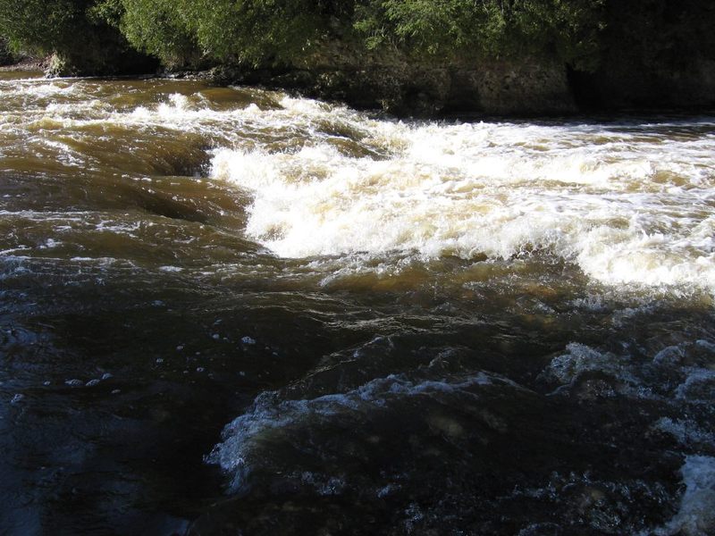
Rapids
855
Waterfalls
927
Playspots
1,513
Hazards
106
Portages
Click a category above to filter the map and list
Loading...
Map Legend
Rapids
Waterfalls
Playspots
Hazards
Portages
Rivers
Wisconsin 48 features

S.Chase Road
Rapid
N/A

Take Out
Rapid
N/A
Big Falls
Rapid
IV

Boulder bed
Rapid
N/A
Boulder bed
Rapid
N/A
Bridge?
Rapid
N/A

Brief boulder garden
Rapid
N/A
Brief boulder narrowing
Rapid
N/A
Brief minor rock garden
Rapid
N/A
CTH.C
Rapid
N/A
CTH.J Access/Parking
Rapid
N/A
Ford?
Rapid
N/A
Little Falls
Rapid
II
Little Wolf Dells
Rapid
II
McNinch Road Rapids
Rapid
N/A
minor boulder garden
Rapid
N/A

Minor boulder garden
Rapid
N/A

Minor rock garden
Rapid
N/A
Pine Rapids
Rapid
N/A

Possible rocky intrusion
Rapid
N/A

Put In
Rapid
N/A
Put In
Rapid
N/A

Rock Dam
Rapid
N/A
Rock dodge
Rapid
N/A
Slightly more significant rocky garden
Rapid
N/A

Take Out
Rapid
N/A
Take Out
Rapid
N/A
Alternate take-out
Rapid
N/A
Confluence with Jader Creek
Rapid
N/A
Don't be fooled by Nymphia Lake Road!
Rapid
N/A
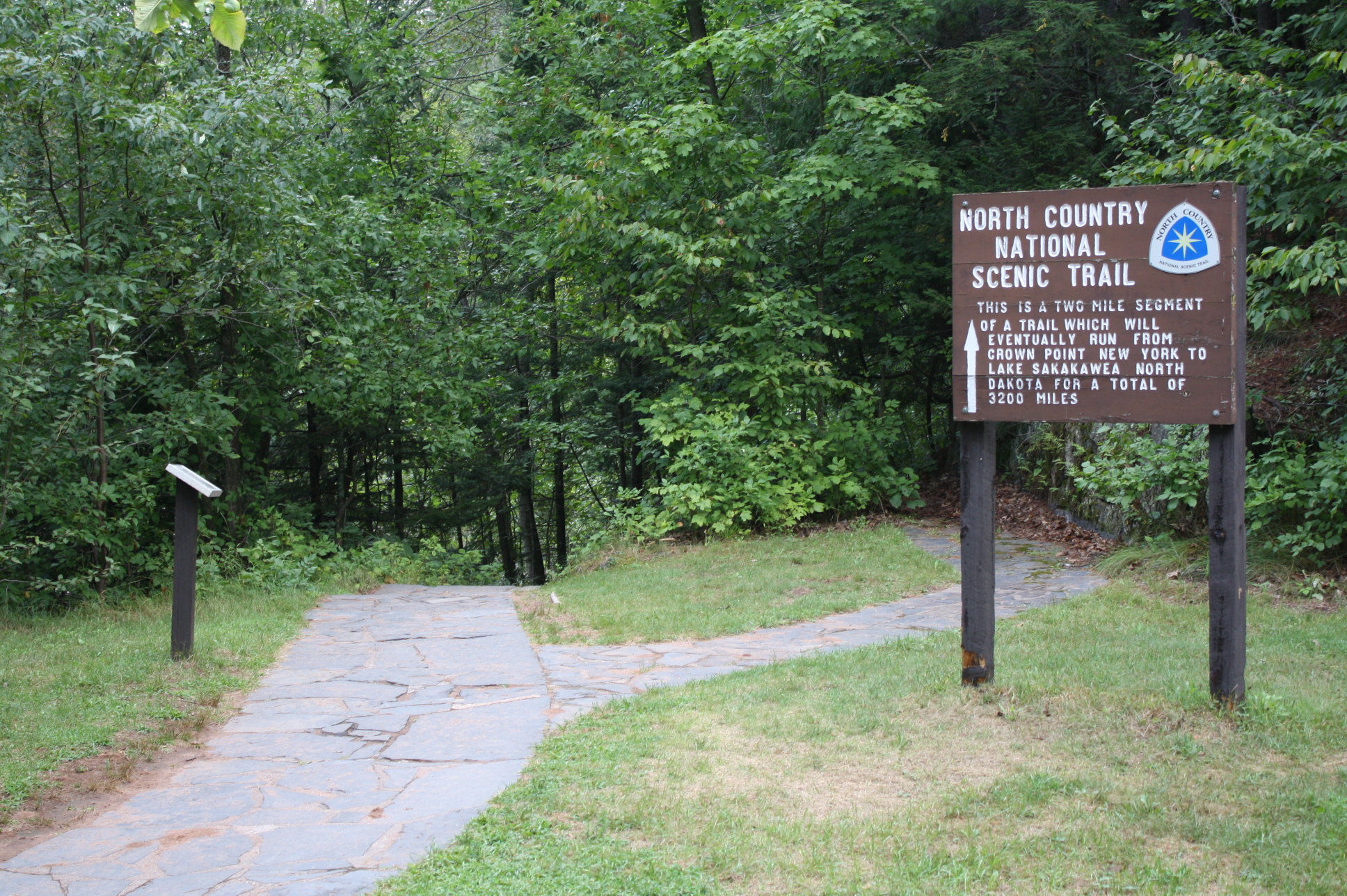
North Country National Scenic Trail
Rapid
N/A
Put In (Drainage 28 sq.mi.)
Rapid
N/A
Take Out
Rapid
N/A
USGS sampling site
Rapid
N/A
USGS sampling site
Rapid
N/A
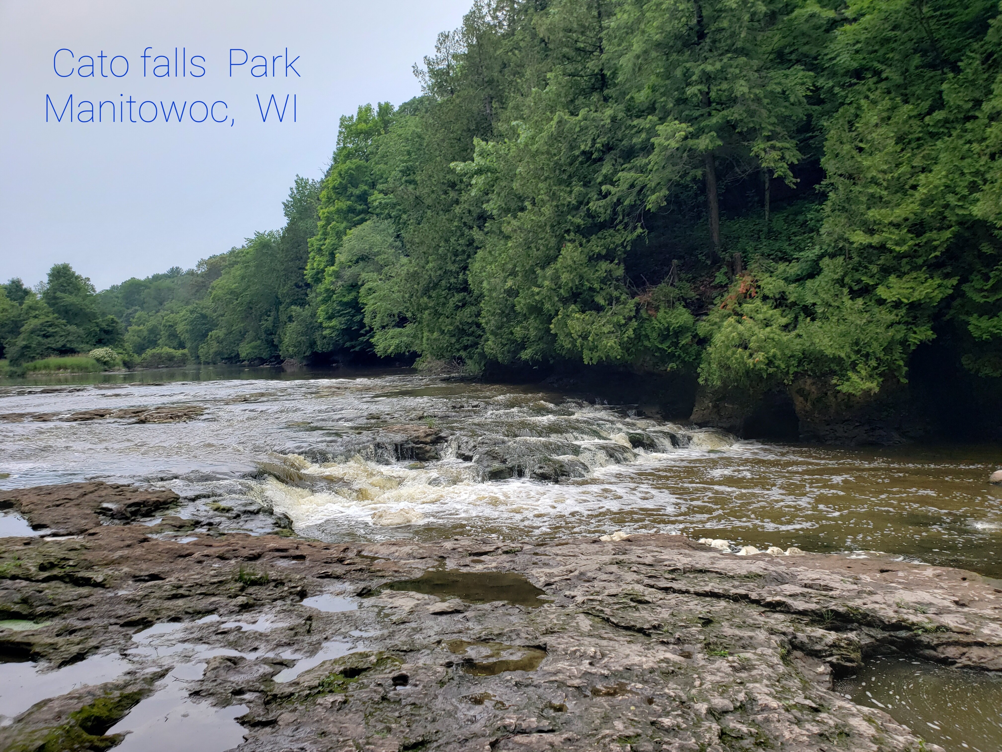
(Upper) Cato Falls
Playspot
II
Branch River Road (Alternate Put-in#2)
Rapid
N/A
Clarks Mills Dam
Hazard
N/A
Danmar Road (Alternate Put-in#5)
Rapid
N/A
Former Oslo Dam site
Playspot
II
Friday Street
Rapid
N/A
Head of Gradient; Drainage area: ~515 sq.mi.
Rapid
N/A
Lower Cato Falls
Playspot
III
Put In
Rapid
N/A
Put In
Rapid
N/A
Sportsmans Lane / Sportsmans Club (Alternate access)
Rapid
N/A
Take Out
Rapid
N/A
Take Out: County Road.S
Rapid
N/A