Whitewater Map
Explore rapids, waterfalls, playspots, hazards, and portages across the United States
24,753
Total Features
21,352
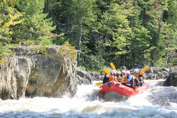
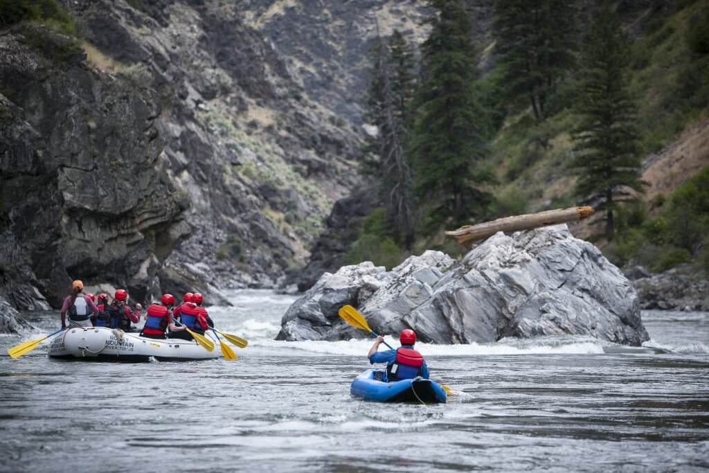
Rapids
855
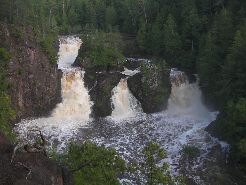
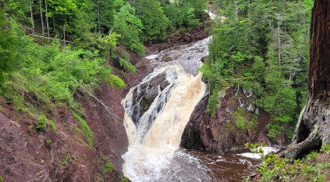
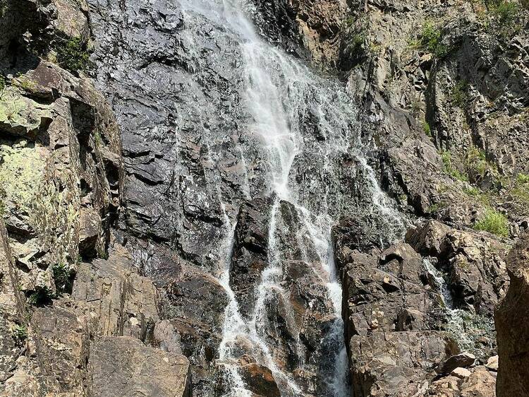
Waterfalls
927
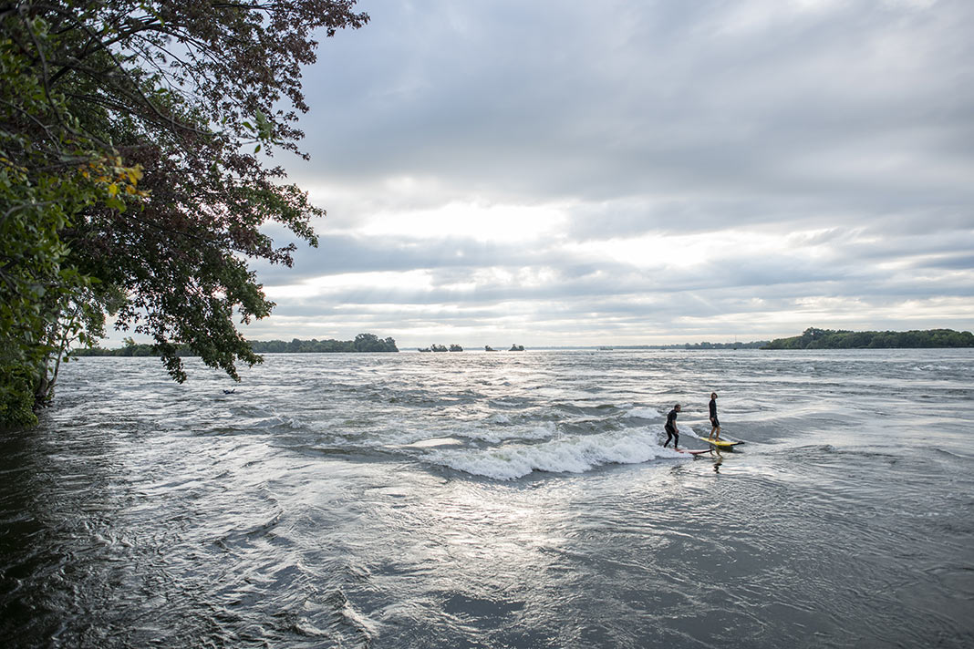
Playspots
1,513
Hazards
106
Portages
Click a category above to filter the map and list
Loading...
Map Legend
Rapids
Waterfalls
Playspots
Hazards
Portages
Rivers
Wisconsin 48 features
Put In
Rapid
N/A

Put In
Rapid
N/A
Saxon Falls
Waterfall
N/A
Saxon Falls Powerhouse Put In
Rapid
N/A
Superior Falls
Waterfall
N/A
Take Out
Rapid
N/A

Take Out
Rapid
N/A
USGS site
Rapid
N/A
USGS site
Rapid
N/A
Center Drive
Rapid
N/A
Gile Falls
Waterfall
IV
Kimball Falls
Rapid
III+
Maple Sap Falls/Takeout
Rapid
N/A
Minor rapids #1 ?
Rapid
N/A

Minor Rapids #2 ?
Rapid
N/A
Minor rapids #3 ?
Rapid
N/A
Minor rapids #4 ?
Rapid
N/A

Put in
Rapid
N/A

Put In
Rapid
N/A

Put In
Rapid
N/A
Rock Cut (Railroad) Falls
Rapid
IV

Rock Cut Falls Gorge
Rapid
N/A

Runout Rapids
Rapid
N/A

Second notable rapid
Rapid
N/A
South Road
Rapid
N/A
Spring Camp Falls
Waterfall
V

Take Out
Rapid
N/A

Take Out
Rapid
N/A
USGS sampling site
Rapid
N/A
W.Branch Road
Rapid
N/A
Zig-Zag
Rapid
III
Drainage: 92.5 sq.mi.
Rapid
N/A
Put In
Rapid
N/A
Take Out
Rapid
N/A
Blueberry Lane
Rapid
N/A
Bypass?
Rapid
N/A
Confluence (LaBudde Creek)
Rapid
N/A
CTH.J / USGS sampling site: Drainage area: 45.4 sq.mi.
Rapid
N/A
CTH.J&C
Rapid
N/A
CTH.M
Rapid
N/A
CTH.PP
Rapid
N/A
Drainage: ~38 square miles
Rapid
N/A
Footbridge or ?
Rapid
N/A
Ford
Rapid
N/A
Ford
Rapid
N/A
High-Tension Lines
Rapid
N/A
Hwy.57
Rapid
N/A
Low bridge?
Hazard
N/A