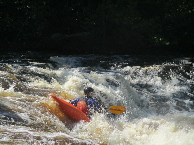
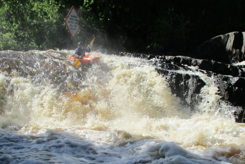
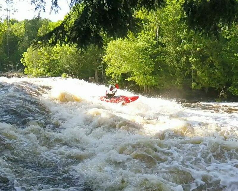
Whitewater Map
Explore rapids, waterfalls, playspots, hazards, and portages across the United States
24,753
Total Features
21,352
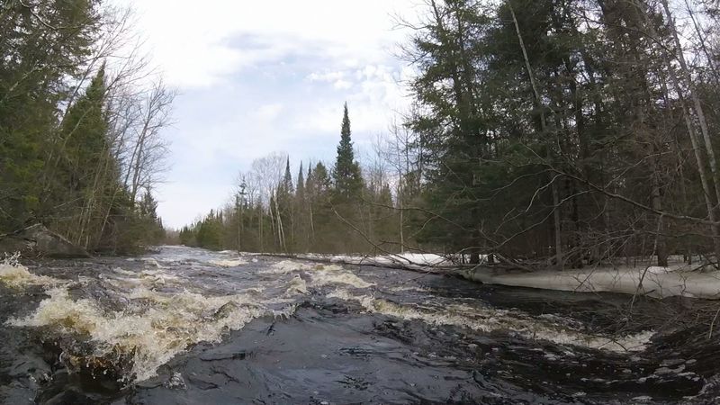
Rapids
855
Waterfalls
927
Playspots
1,513
Hazards
106
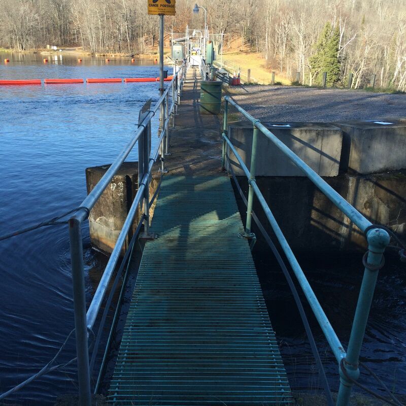
Portages
Click a category above to filter the map and list
Loading...
Map Legend
Rapids
Waterfalls
Playspots
Hazards
Portages
Rivers
Wisconsin 48 features
Eight Foot Falls
Waterfall
III+
Eighteen Foot Falls
Waterfall
IV
Lower Four-foot Falls
Waterfall
III+
marked 'rapids' #1
Rapid
I
marked 'rapids' #2
Rapid
I

marked 'rapids' #3
Rapid
I

Put In
Rapid
N/A

Put In
Rapid
N/A

Put In
Rapid
N/A

Take Out
Rapid
N/A

Take Out
Rapid
N/A

Take Out
Rapid
N/A
Twelve Foot Falls
Waterfall
IV
Upper Four-foot Falls
Playspot
III
"Rapids"
Rapid
N/A
Big South Falls
Waterfall
IV
Confluence: N.Br.Pike
Rapid
N/A
Dave's Falls
Hazard
N/A
Double-drop Dells
Playspot
II
Erratic Ledge
Playspot
II+
Horseshoe Falls
Waterfall
IV
Hwy.V / Mosquito Park
Rapid
N/A

Little South Branch Falls
Waterfall
III+
Logging dam
Hazard
N/A
Put In
Rapid
N/A

Put In
Rapid
N/A
Railroad
Rapid
N/A
Split Falls
Rapid
III+
Surprise Ledge
Rapid
N/A

Take Out
Rapid
N/A
Take Out
Rapid
N/A

Upper Dave's Falls
Waterfall
IV
1st Ledge of 5-Ledges near Halls Creek
Rapid
II
1st Long Rapids
Rapid
II
2nd Long Rapids
Rapid
II
Access and Portage Options for Breakwater Falls and Pine River Dam WP146
Portage
N/A
ATV trail crosses on an old Railroad Bridge
Rapid
N/A
Beyond Breakwater Gorge Rapids
Rapid
N/A
Breakwater Falls, First Pitch
Rapid
IV+
Breakwater Falls, Second Pitch
Rapid
IV+
Breakwater Falls, Third Pitch
Rapid
IV+
Breakwater Gorge Rapids and Takeout
Rapid
II+
Bull Falls
Rapid
II+
Campsite Landings on Flowage
Rapid
N/A
CCC Rapids
Rapid
II
Chipmunk Rapids
Rapid
II
Chipmunk Rapids Takeout
Rapid
N/A
Clearing with Burnt Cabin
Rapid
N/A