Whitewater Map
Explore rapids, waterfalls, playspots, hazards, and portages across the United States
24,753
Total Features
21,352
Rapids
855
Waterfalls
927
Playspots
1,513
Hazards
106
Portages
Click a category above to filter the map and list
Loading...
Map Legend
Rapids
Waterfalls
Playspots
Hazards
Portages
Rivers
Wisconsin 48 features
Start (continuation?) of gradient sequence
Rapid
N/A
Start of final significant rapids sequence
Rapid
N/A
Take Out
Rapid
N/A

Take Out
Rapid
N/A
Take Out
Rapid
N/A
Third Ledge
Rapid
III
Transverse Falls
Rapid
N/A
Tree covered ledge?
Rapid
N/A
Uncertain area leading to drop
Rapid
N/A
Upson Falls
Rapid
IV
Upson Lake Road
Rapid
N/A
Upson Park Road
Rapid
N/A
USGS Gauge
Rapid
N/A
USGS sampling site
Rapid
N/A
USGS sampling site
Rapid
N/A
Put In
Rapid
N/A
Take Out
Rapid
N/A
Boulder garden
Rapid
N/A
CTH.H: Possible alternate access
Rapid
N/A
Diamond Road/Rat River Road (82.1 sq.mi.)
Rapid
N/A
First gradient
Rapid
III

Former USGS gauge: 47 sq.mi. Drainage
Rapid
N/A
Island: STAY OFF!!!
Rapid
N/A

marked rapids #1
Rapid
N/A
marked rapids #2
Rapid
N/A

marked rapids #3
Rapid
N/A

marked rapids #4
Rapid
N/A

marked rapids #5
Rapid
N/A
marked rapids #6
Rapid
N/A
Put In
Rapid
N/A
Put In: 70.2 square miles
Rapid
N/A
Second gradient
Rapid
II
Take Out
Rapid
N/A
Take Out: Valley Lake Road / FR2141
Rapid
N/A
Third gradient
Rapid
II+
**** NOTICE ****
Hazard
N/A
Additional 'bonus' drops
Rapid
II+
Boulder Choke
Waterfall
N/A
Confluence W.Br.Red
Rapid
N/A
County Highway A Take-Out
Rapid
N/A
Double Drop
Rapid
II
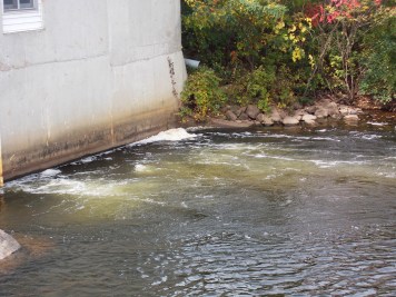
Farm Dam
Playspot
II
Finley Court Access
Rapid
N/A
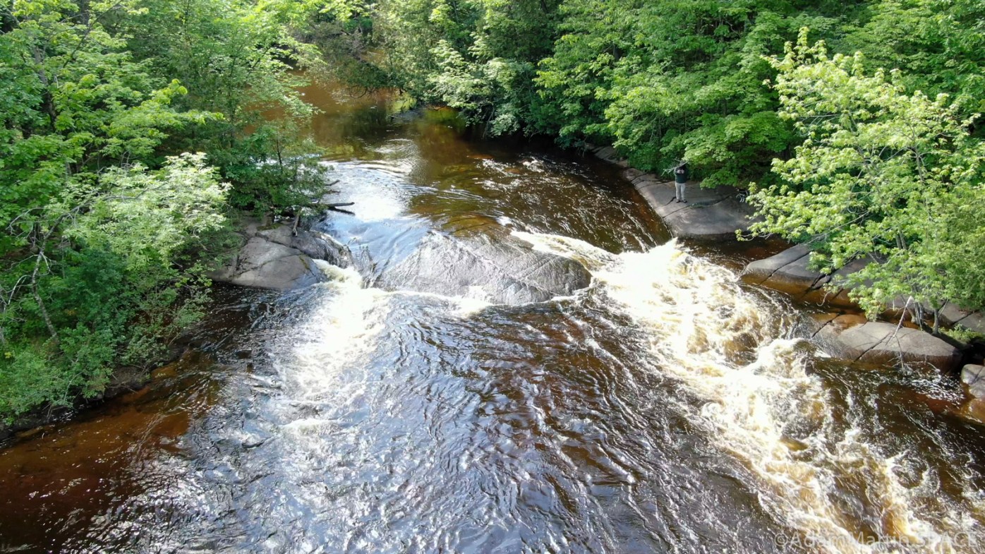
First Island Falls
Rapid
III
First Ledge
Playspot
II
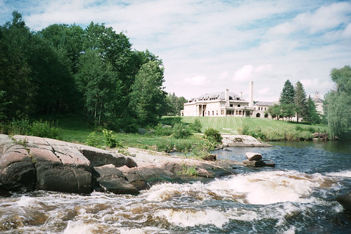
Little Bull Falls
Playspot
I
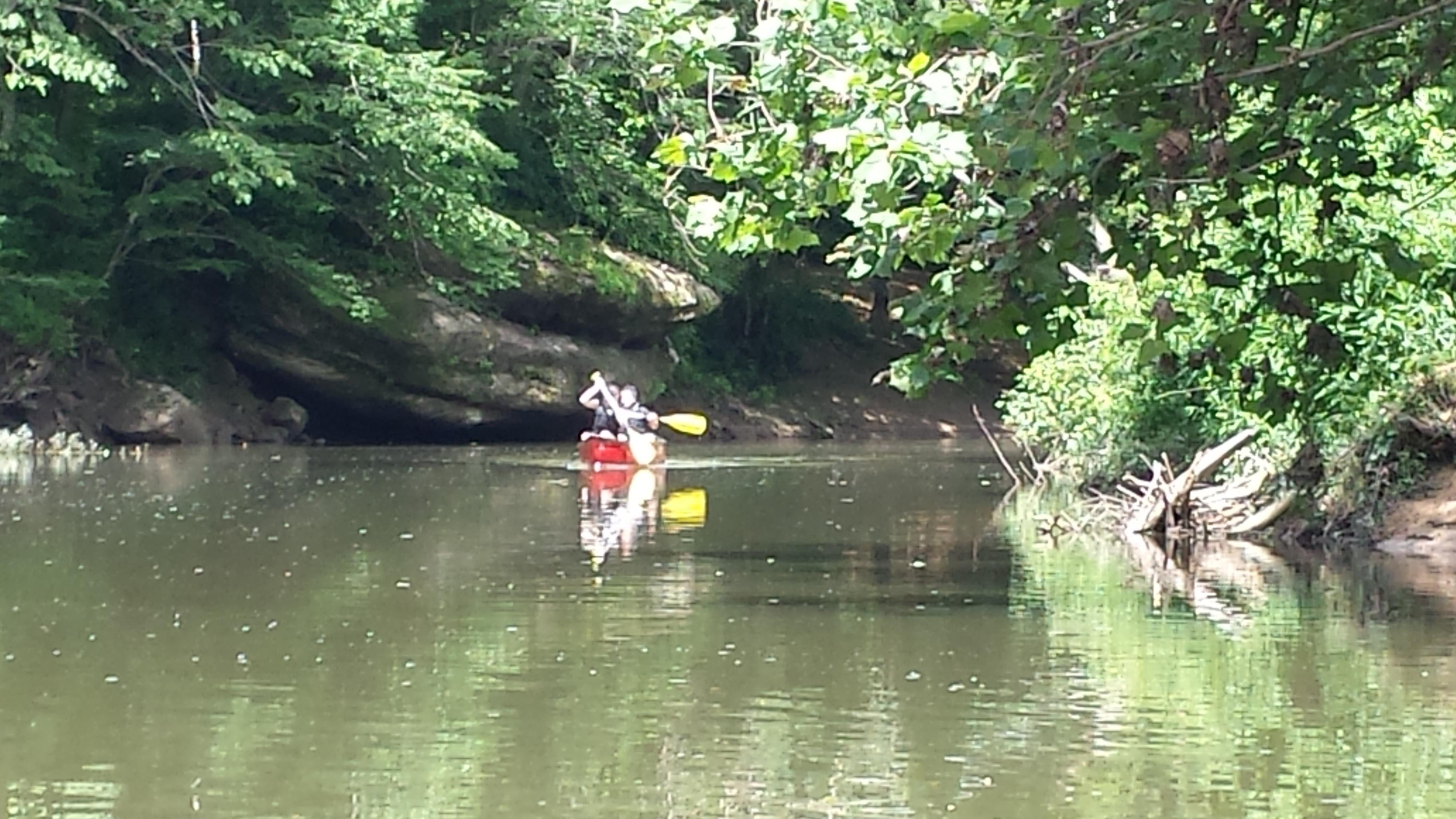
Lower Lake Road Put-in (below dam)
Rapid
N/A
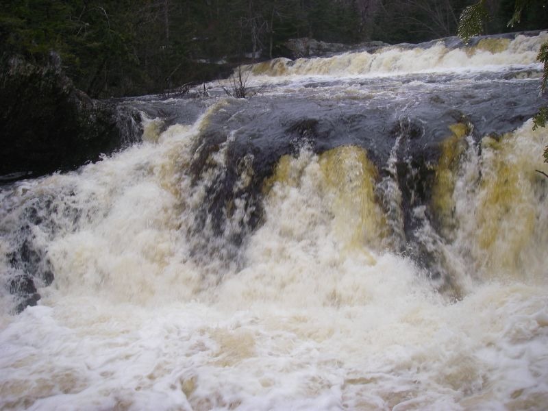
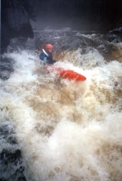
Monastery Falls
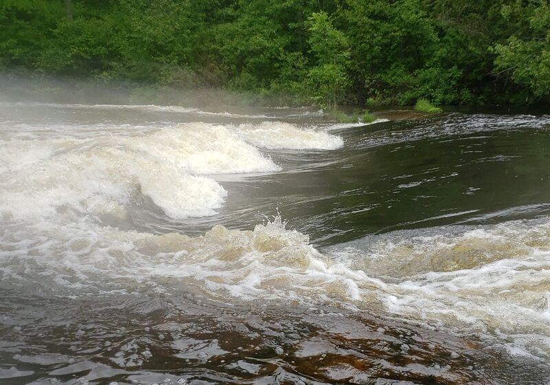
Waterfall
III+