Whitewater Map
Explore rapids, waterfalls, playspots, hazards, and portages across the United States
24,753
Total Features
21,352
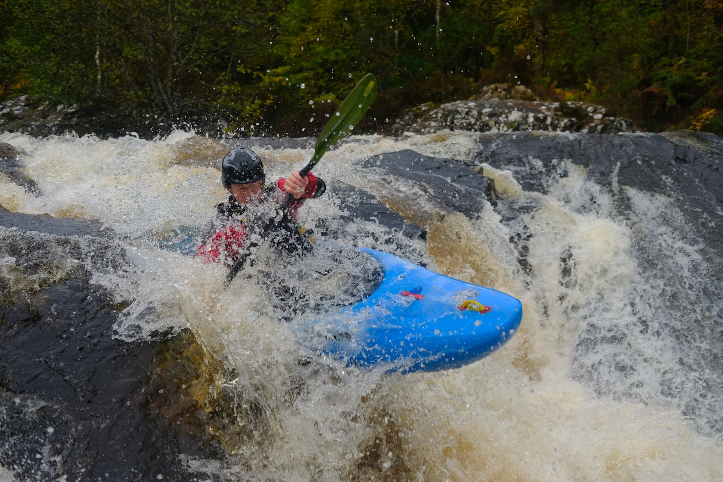
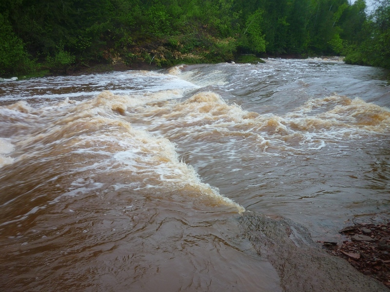
Rapids
855
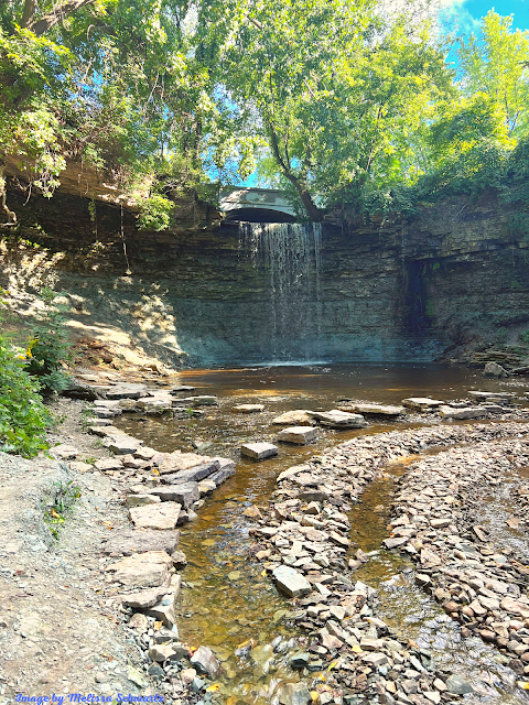
Waterfalls
927
Playspots
1,513
Hazards
106
Portages
Click a category above to filter the map and list
Loading...
Map Legend
Rapids
Waterfalls
Playspots
Hazards
Portages
Rivers
Wisconsin 48 features
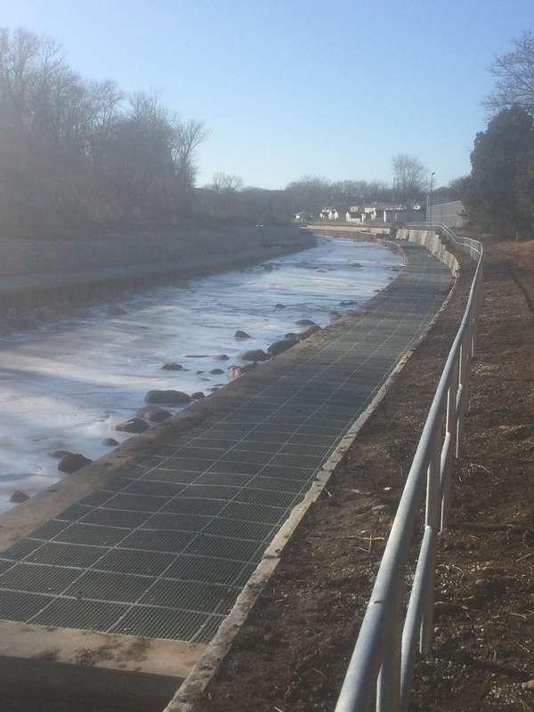
Confluence with Menomonee River
Rapid
N/A
End of remediation area
Rapid
N/A
Hansen Park Golf cart bridge
Hazard
II
Hoyt Park; Drainage area: ~110 sq.mi.
Waterfall
N/A
Meanders (Hwy.100/Mayfair Road)
Rapid
N/A
Narrowing
Waterfall
N/A
NOTICE!
Rapid
N/A
Put-in Parking: Krueger Park (Brookfield, Waukesha County)
Rapid
N/A
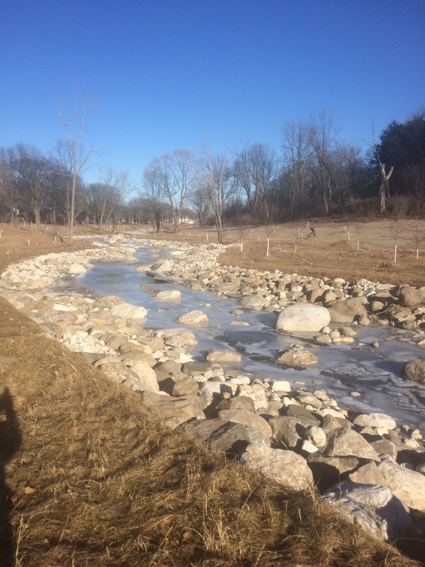
Remediation Rips
Waterfall
II
Sliding Chicane / Rooster Tail Wave
Hazard
II+
UPS Rips
Rapid
N/A
Walled In Terrace
Waterfall
N/A
Alt.Put-in#1: Swedish Highway
Rapid
N/A
Alt.Put-in#2: State Line Rd
Rapid
N/A
Drainage: 33 sq.mi.
Rapid
N/A
Put In: Radigan Dam
Rapid
N/A
Take Out: Markville Rd
Rapid
N/A
20th Street Jump
Waterfall
II
First Slide
Rapid
N/A

Plainfield Jump
Waterfall
II
Put-in
Rapid
N/A
Rec Center Jump
Waterfall
II
Take-out Parking
Rapid
N/A
Take-out: Pedestrian Bridge
Rapid
N/A
Wilson Slide
Waterfall
II
Culvert Drop
Hazard
N/A
Double Falls ?
Waterfall
N/A
Island
Hazard
N/A
Point Sable
Rapid
N/A
Put In
Rapid
N/A
Take Out
Rapid
N/A
Wequiock Falls
Hazard
N/A
Drainage: 270 sq.mi.
Rapid
N/A

First Ledges
Rapid
N/A
Possible Fourth Ledge
Playspot
N/A
Put In
Rapid
N/A
Put-in (below dam/pool)
Rapid
N/A
Second Ledges
Rapid
N/A
Take Out
Rapid
N/A

Take Out
Rapid
N/A
Third Ledges
Rapid
N/A
First Trail Bridge
Rapid
N/A
Geneva Lake outlet dam, and gauge
Rapid
N/A
Grand Geneva Way (road bridge)
Rapid
N/A
Interesting bit of gradient
Rapid
N/A
Meadow Meanders
Rapid
N/A
Put In
Rapid
N/A
Put-in: Sheridan Springs Road (second crossing) (Drainage: ~60 sq.mi.)
Rapid
N/A