Access Sites
Find mapped boat ramps, launches, and public water access points across the United States.
44,009
Total Sites
24
Loaded
51
Regions
Map view
Explore nearby access
Pan or zoom to load the sites in view, then open a marker for details and directions.
Interactive access map
Loads after the directory is visible.
Loading...
Navigation Tips
- Zoom in to load more sites in your area of interest
- Click on clusters (numbered circles) to zoom into that area
- Click on individual markers for site details and directions
- Use scroll wheel or pinch to zoom, drag to pan
Directory results
Loaded access sites
The list reflects the current page and can be narrowed with the search field.
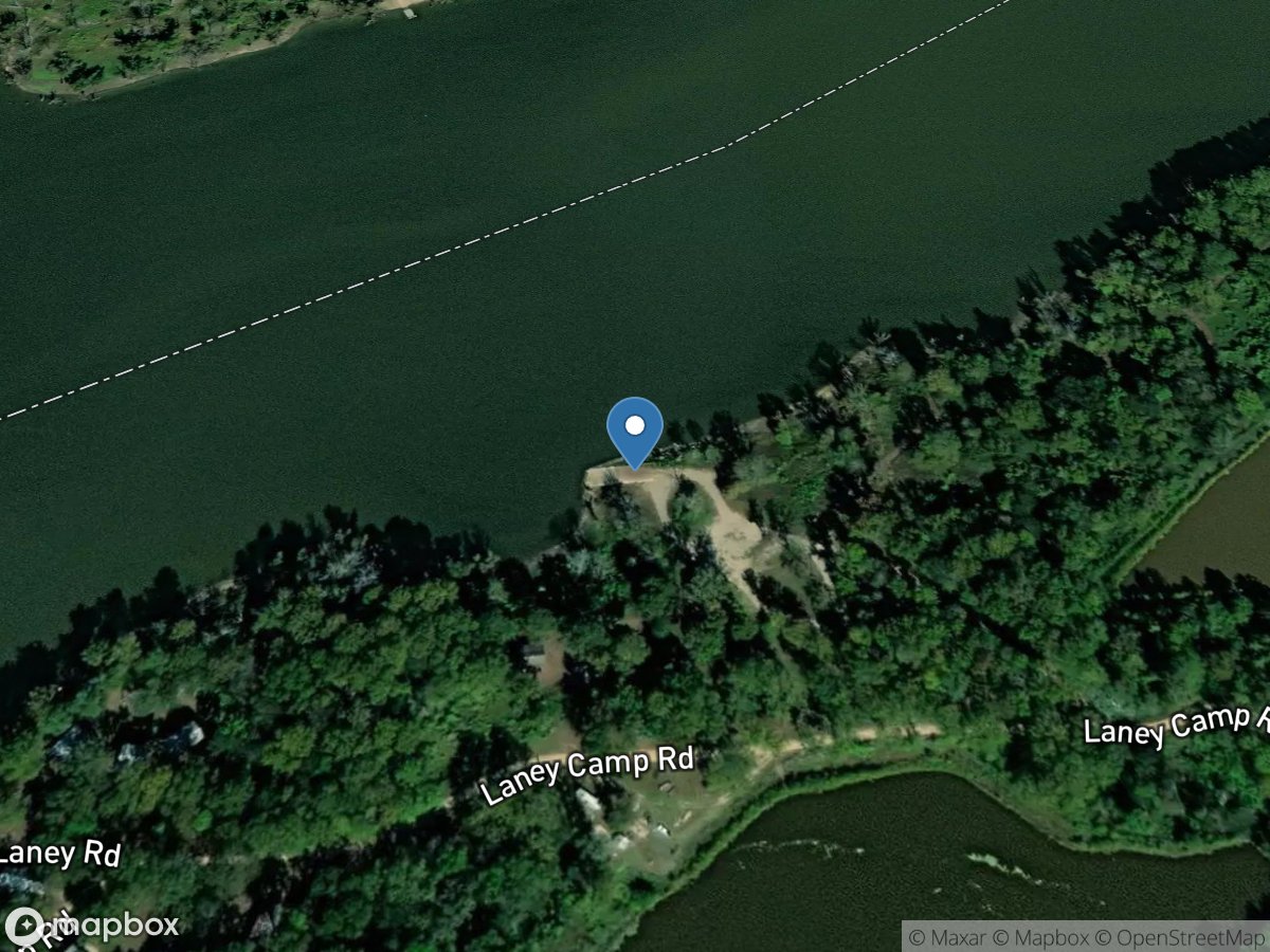
Laney Camp Road
Access Site
Chotard Lake
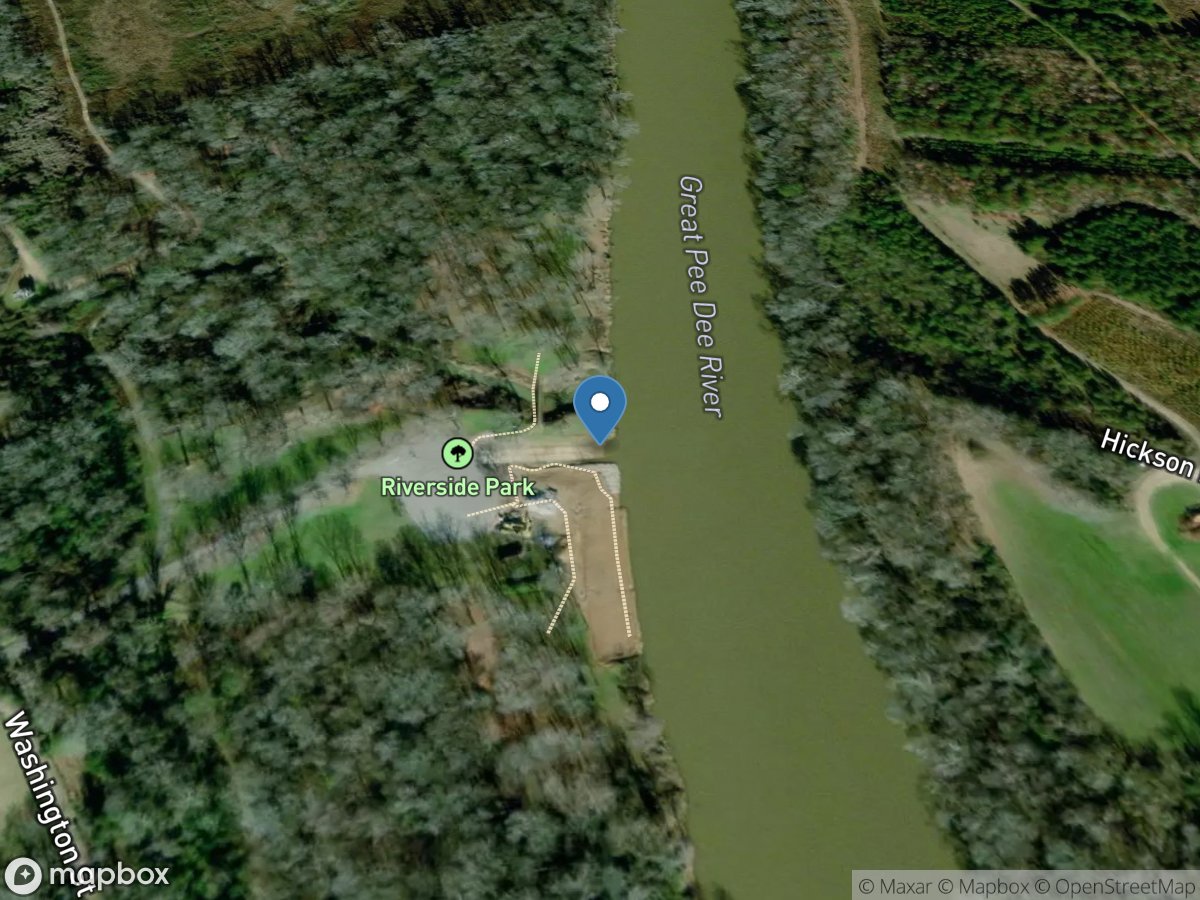
Laney Landing
Access Site
Great Pee Dee River
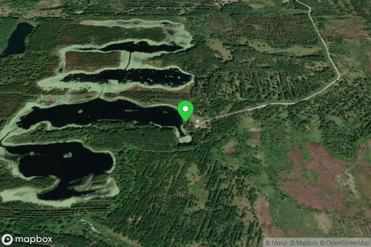
Lang Lake Fish Management Area (No Gas Motors)
Access Site
Lang Lake
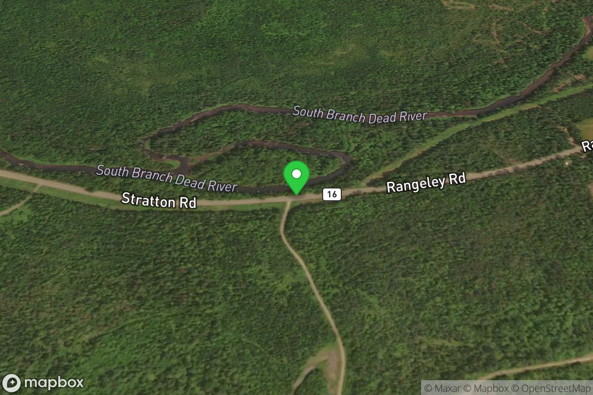
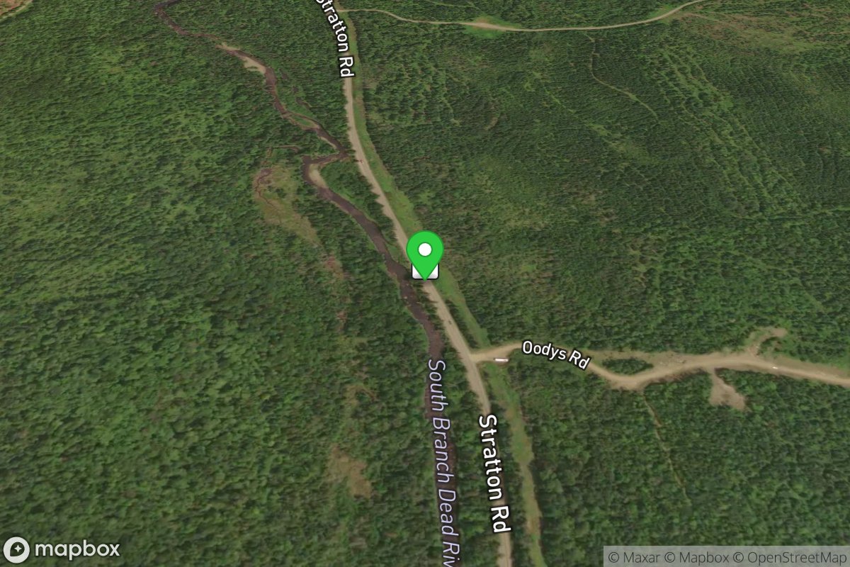
Lang Twp
Access Site
Northern Forest Canoe Trail
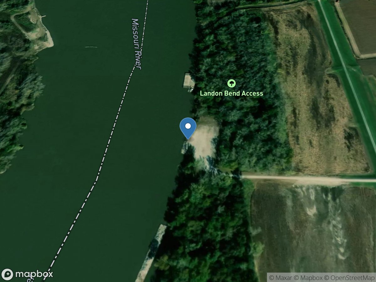
Lang Twp
Access Site
Northern Forest Canoe Trail
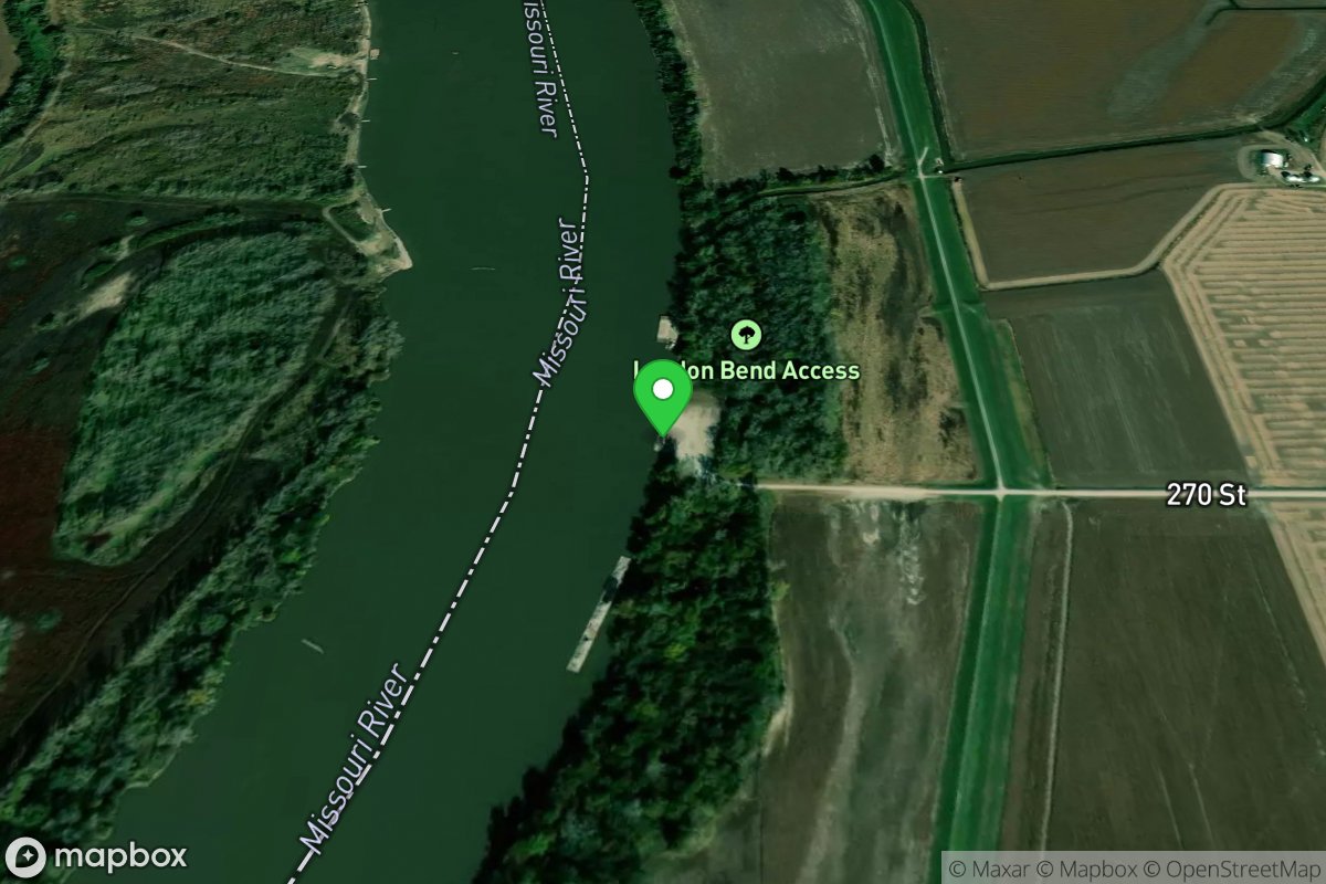
Langdon Bend Access
Access Site
Missouri River
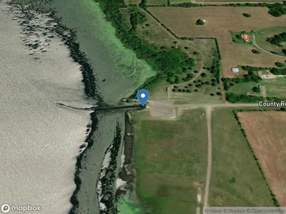
Langdon Bend Access
Access Site
Missouri River
Langford Club Lake
Access Site
Langford Club Lake
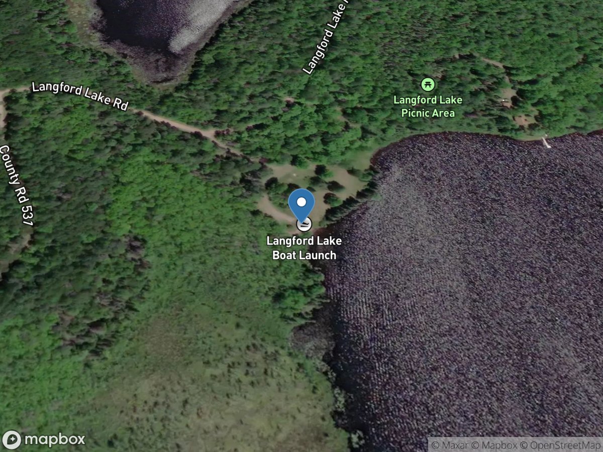
Langford Lake Campground
Access Site
Langford Lake
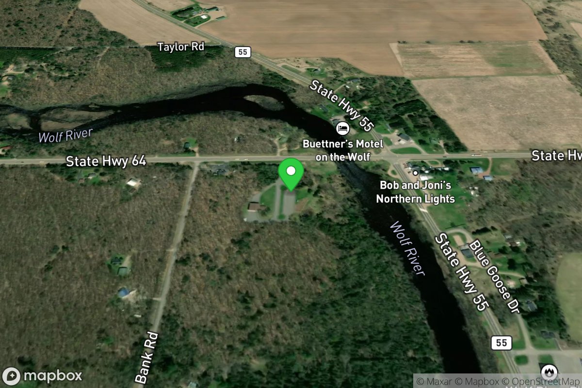
Langlade Highway 64 Bridge Put-in
Access Site
Wolf
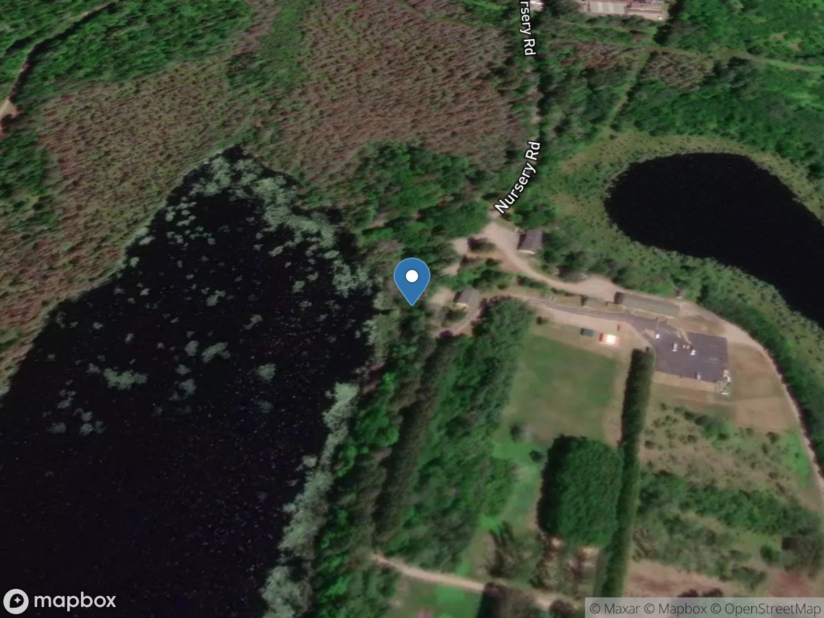
Langley Lake Boat Launch
Access Site
Langley Lake
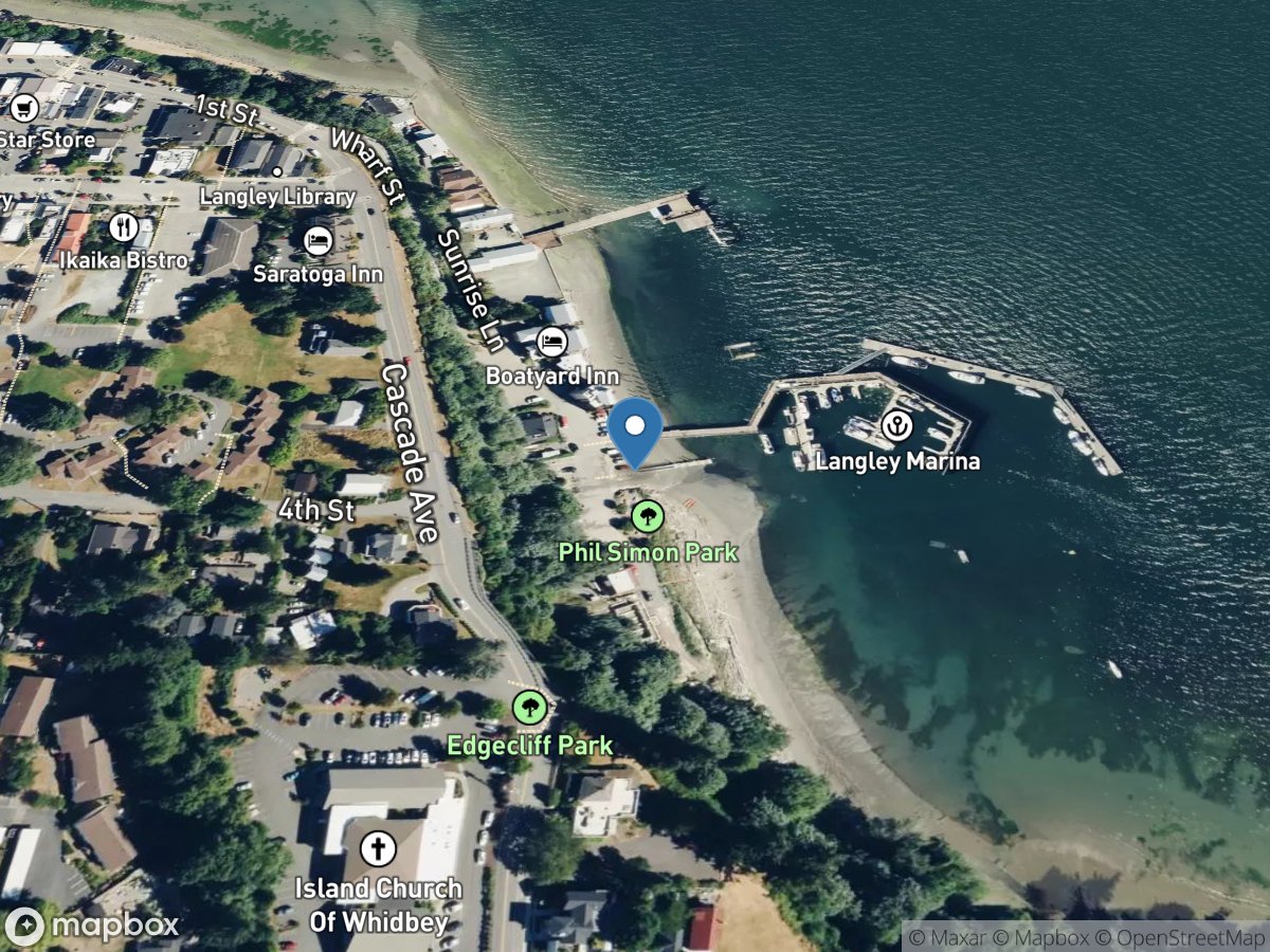
Langley Ramp
Access Site
Saratoga Passage
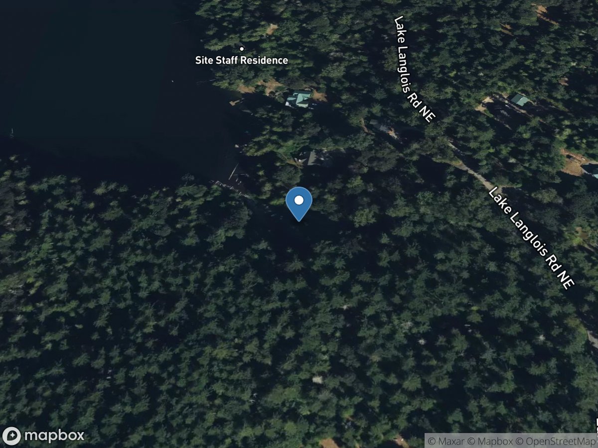
Langlois Lake
Access Site
Langlois Lake
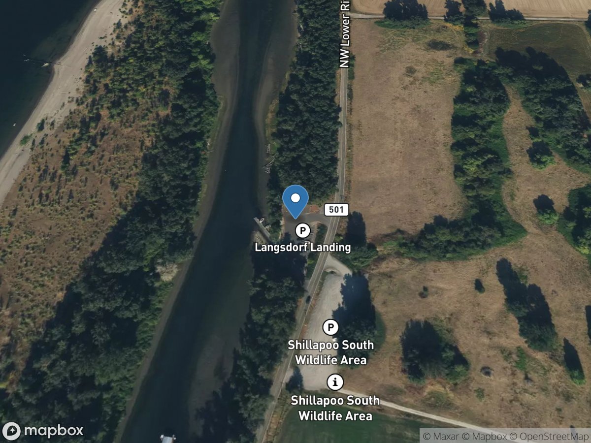
Langsdorf Landing
Access Site
Dairy Creek
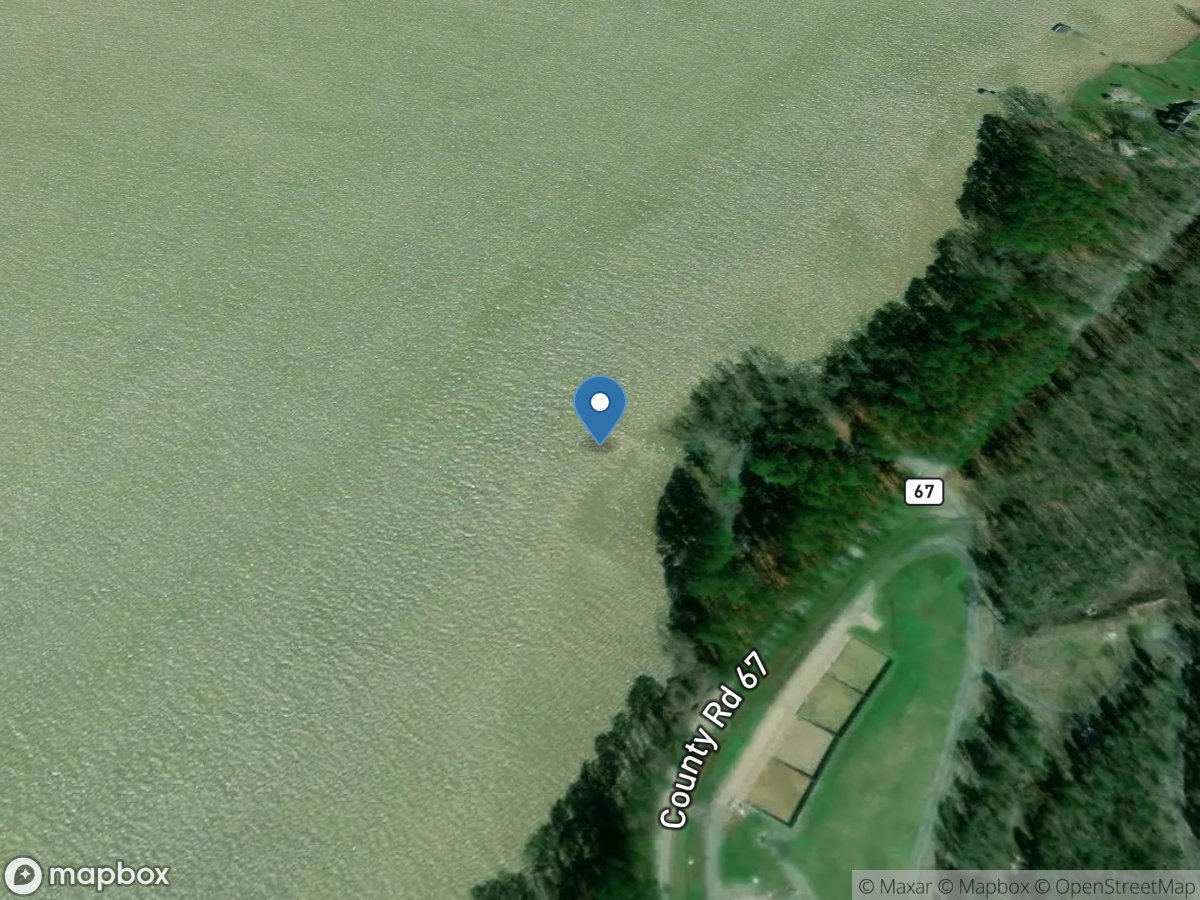
Langston Road
Access Site
Tennessee River - Guntersville Lake
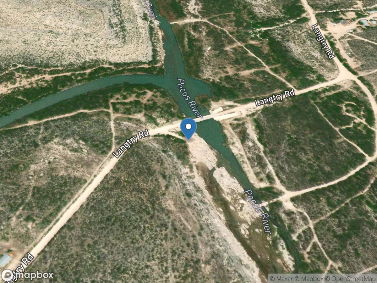
Langtry Road Bridge
Access Site
Pecos River
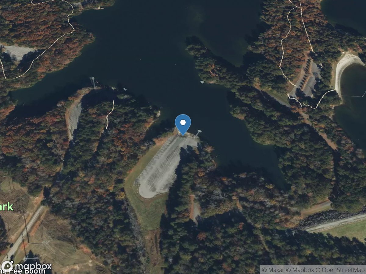
Lanier Park
Access Site
Chattahoochee River - Lake Lanier
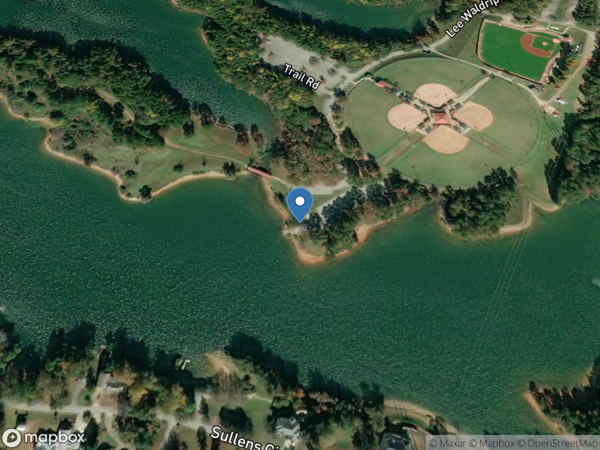
Lanier Point Park
Access Site
Chattahoochee River - Lake Lanier
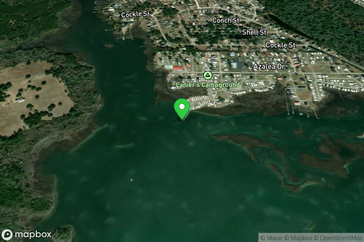
Lanier's Campround
Access Site
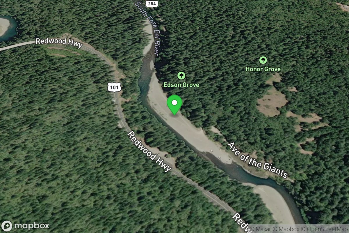
Lansdale Bar
Access Site
Eel, South Fork
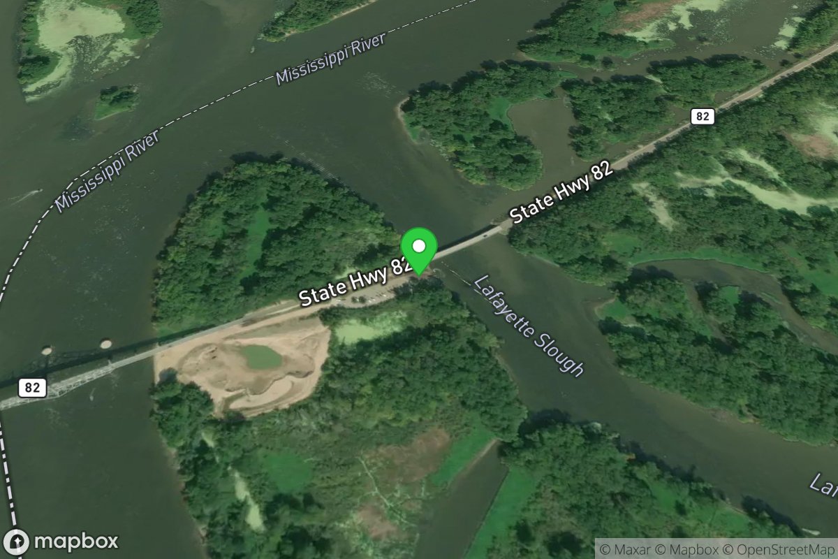
Lansing Bridge Entrance - Wisconson
Access Site
Mississippi River
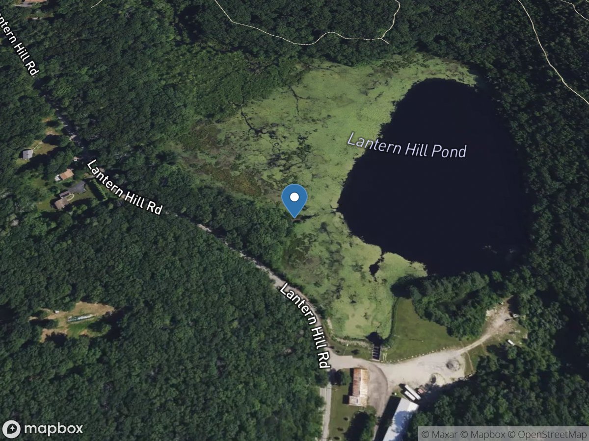
Lantern Hill
Access Site
Lantern Hill
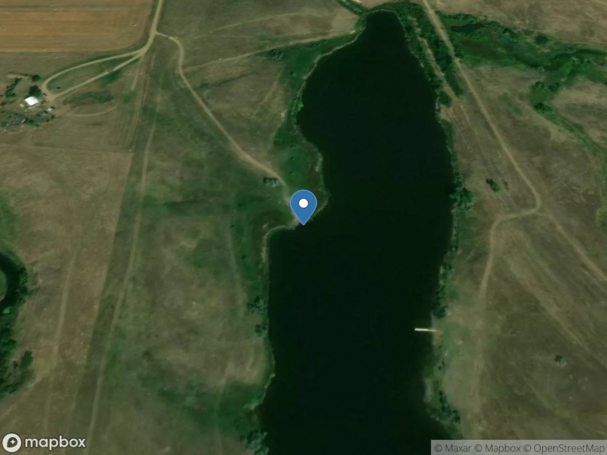
Lantry Public Water Access
Access Site
Little Bear Creek
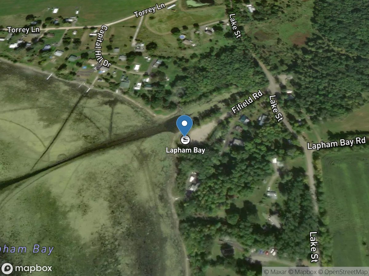
Lapham Bay
Access Site
Lake Champlain