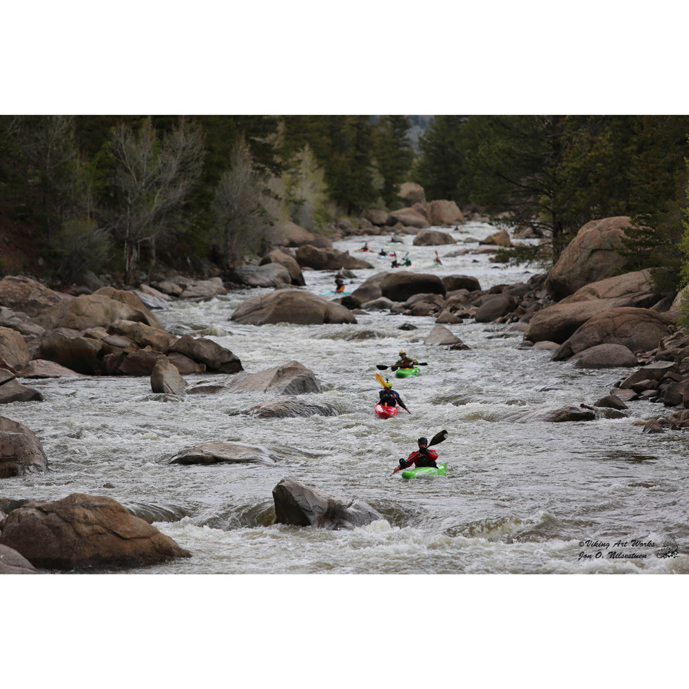
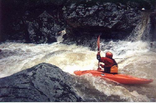
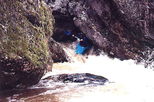
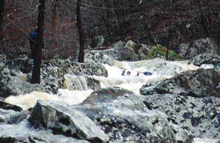
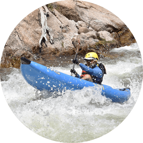
Rapid
AR
Drainage area: ~3.09 square miles
Possum Walk Creek - Five Mile Road to Highway 263 (8.7 miles) (AR)
Gauge Conditions
Runnable: ? – ? CFS
Approximate - nearest available gauge. Use as general reference only.
Data from American Whitewater & USGS
Description
At the listed put-in drainage area is ~3.09 square miles (as calculated by USGS StreamStats 4.2.0 software).
After the confluence with Raccoon Creek, the combined drainage becomes ~59.2 square miles.
After the confluence with the Beech Fork (downstream of which the combined flow is labeled the Devil's Fork of the Little Red River) drainage becomes ~189 square miles, and by the listed take-out it has increased to ~198 square miles.
Location
Other Rapids on This Run (16)
 Rapid
Rapid
Five Mile Road Bridge
 Rapid
Rapid
Five Mile Creek Confluence
Rapid
III+
Warm-up
 Rapid
IV
Rapid
IV
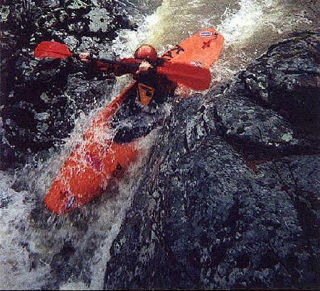
Possum Pinch
 Hazard
V
Hazard
V
Road Kill
 Hazard
V
Hazard
V
Randall's Gamble
 Hazard
IV+
Hazard
IV+
Playing Possum
 Hazard
IV+
Hazard
IV+
Possum Stew
 Hazard
V
Hazard
V
Possum Hole
Rapid
IV
Boof and Slide
 Playspot
III+
Playspot
III+
Snake Eyes
 Rapid
IV+
Rapid
IV+
Possum Pie
Rapid
III
Raccoon Creek
Rapid
III
Beech Fork
 Rapid
N/A
Rapid
N/A
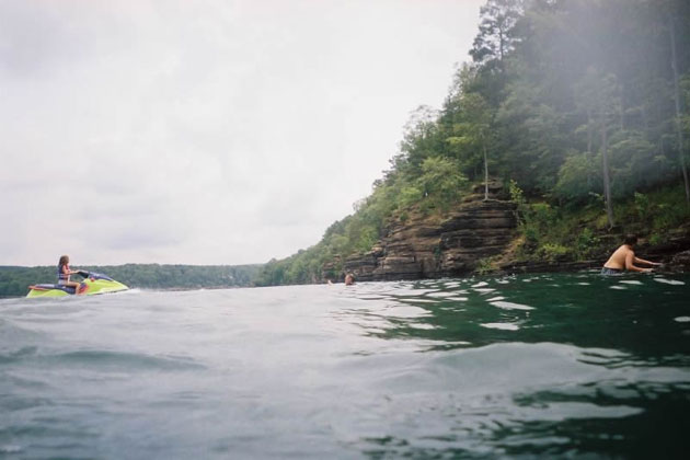
Greers Ferry Lake
 Rapid
Rapid
Hwy 263 access
View Full Run
Five Mile Road to Highway 263 (8.7 miles)
Possum Walk Creek
IV-V(V+)
8.8 mi
Current Conditions
5-Day Forecast
Whitewater data from
American Whitewater
American Whitewater