Gauge Conditions
Runnable: ? – ? CFS
Approximate - nearest available gauge. Use as general reference only.
Data from American Whitewater & USGS
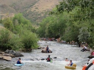
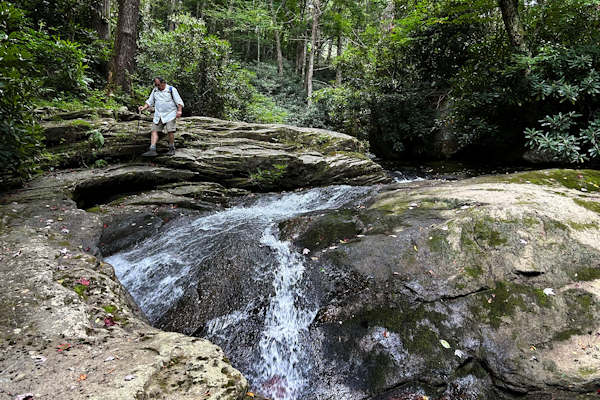
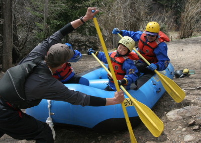
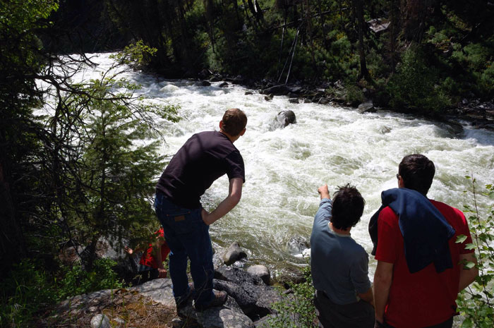
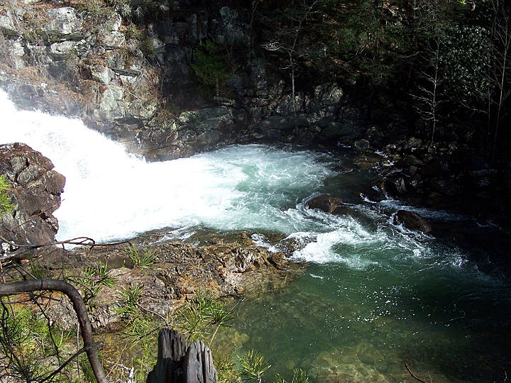
Photo
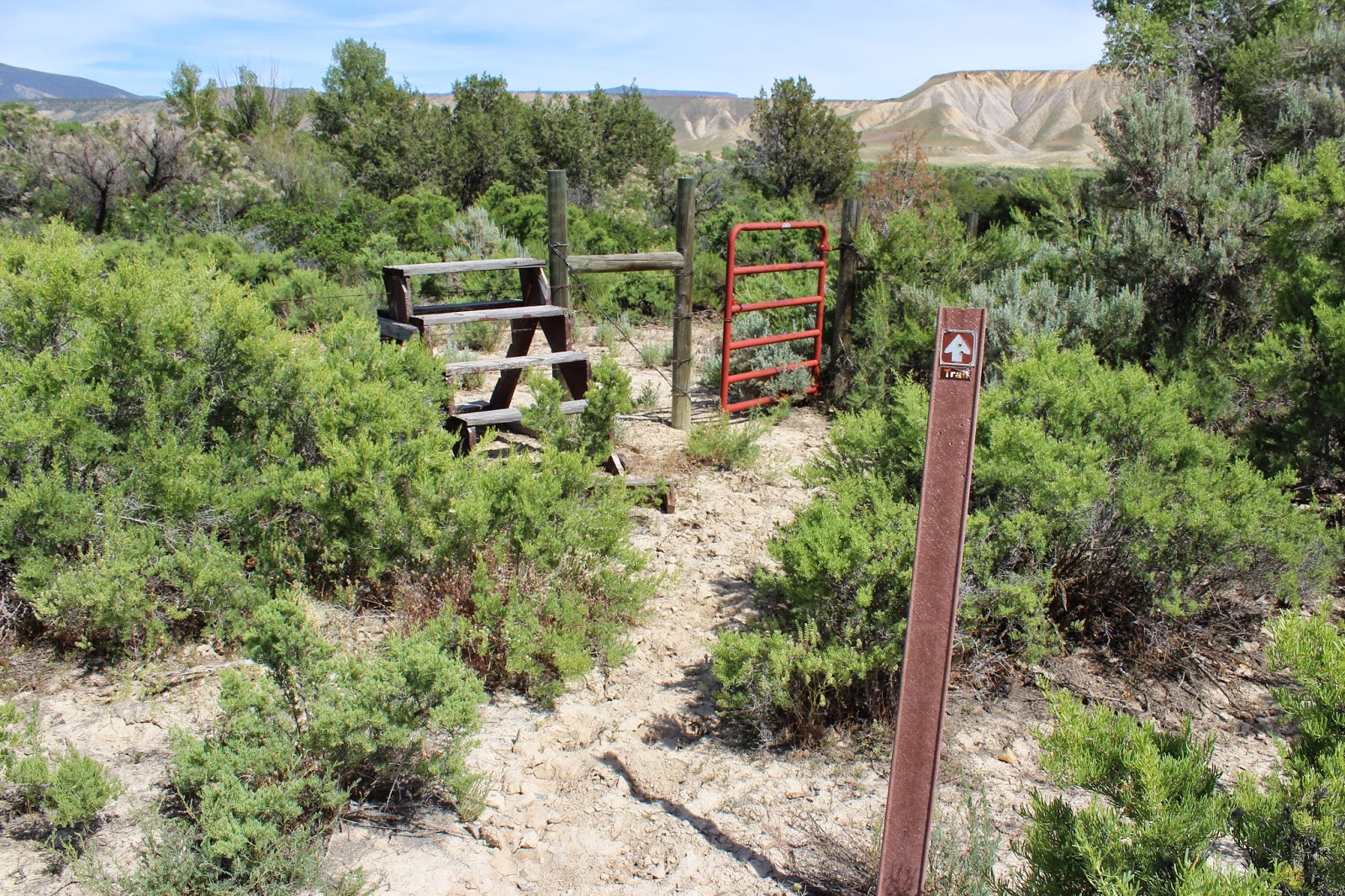
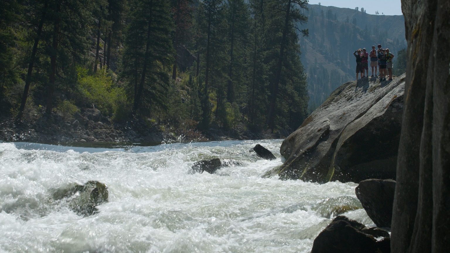
Photo courtesy of American Whitewater
Description
As noted in the description, put-in is actually on Edgemon Creek just above confluence with Evans Hollow. At the listed put-in drainage area is ~3.62 square miles (as calculated by USGS StreamStats 4.2.0 software).
By the listed take-out it has increased to ~19.4 square miles.
Location


View Full Run
Ryker to Hwy. 21 (7.5 miles)
Beech Creek
III-V
7.5 mi
Current Conditions
5-Day Forecast
Whitewater data from
American Whitewater
American Whitewater