How's Your
River
×
Explore
Explore Map
Water Bodies
Gauges
Access Sites
Tidal Stations
Whitewater
Pricing
Login
Sign Up
Hazard Warning:
Hazard information may be user-submitted and unverified. Conditions change frequently. Always scout rapids and obstacles yourself.
Whitewater
Kentucky
Ohio - Falls of the Ohio - Upper (1 mile)
Eddy Line
Hazard
KY
Eddy Line
Ohio - Falls of the Ohio - Upper (1 mile) (KY)
Monitor this Rapid
Water Body
This Run
Map
Other Rapids
Gauge
Weather
Directions
Gauge Conditions
Ohio River at Louisville, KY
Downstream
Primary
Runnable: 12.0 – 55.0 FT
Data from
American Whitewater
&
USGS
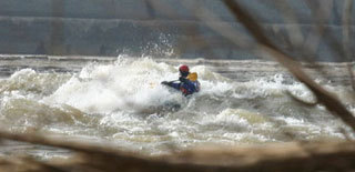
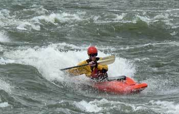
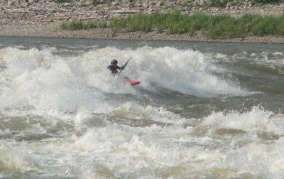
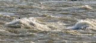
Photo
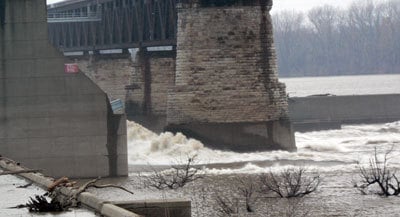
Photo courtesy of
American Whitewater
Description
The eddy line at the dam is very strong, it can give even the best paddlers trouble at times.
Location
Radar
Counties
Cell
Verizon
AT&T
T-Mobile
Dark
Satellite
Terrain
Other Rapids on This Run (4)
Playspot
Right Indiana Wave
0.1 mi
Playspot
Kentucky Side Wave
0.1 mi
Playspot
Big Wave
0.1 mi
Playspot
Triple Waves
0.1 mi
Type
Hazard
Mile Marker
0.0 mi
Directions
Navigate
View Full Run
Falls of the Ohio - Upper (1 mile)
Ohio
II(IV)
1.0 mi
Hazard
— Exercise extreme caution in this area.
Current Conditions
5-Day Forecast
Whitewater data from
American Whitewater
Eddy Line