Rapid
MI
Ford
Save this feature with the run it belongs to.
Gauge Conditions
Runnable: ? – ? CFS
Approximate - nearest available gauge. Use as general reference only.
Data from American Whitewater & USGS
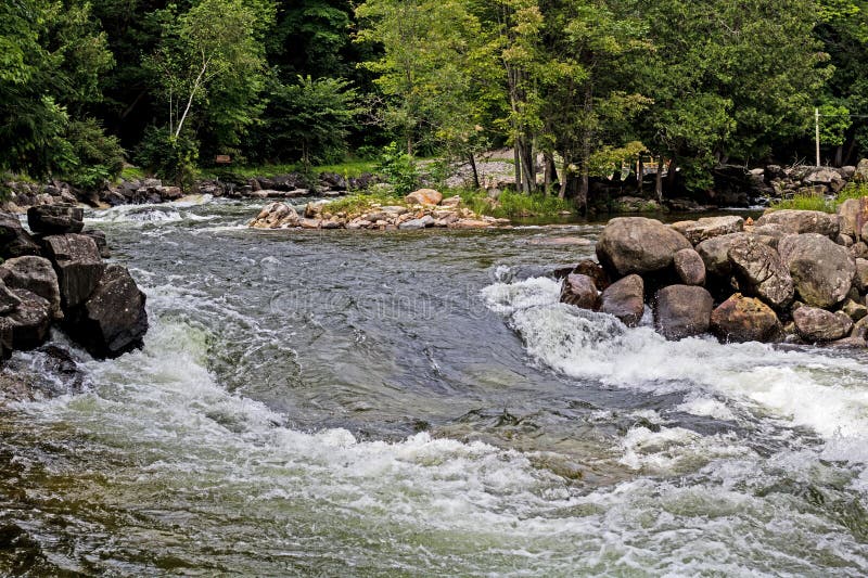
Photo
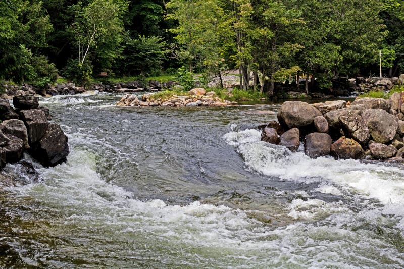
Photo courtesy of American Whitewater
Description
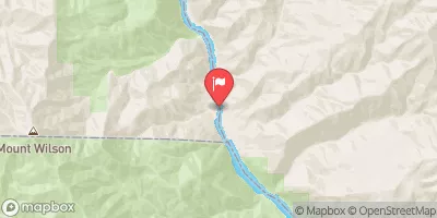
Maps show a road crossing at this point. Satellite view shows this is a double-track which fords (runs through) the river.
Location



View Full Run
A) Unnamed Road to Black Creek Road (7.8 miles)
Huron, W.Br.
II-III(IV)
5.9 mi
Current Conditions
5-Day Forecast
Whitewater data from
American Whitewater
American Whitewater