Gauge Conditions
Runnable: ? – ? CFS
Approximate - nearest available gauge. Use as general reference only.
Data from American Whitewater & USGS
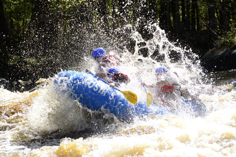
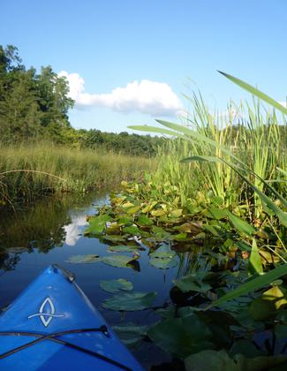
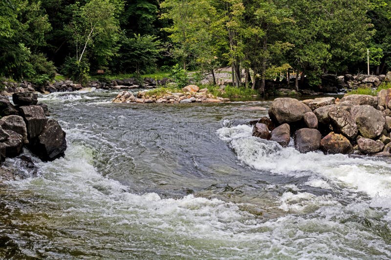
Photo
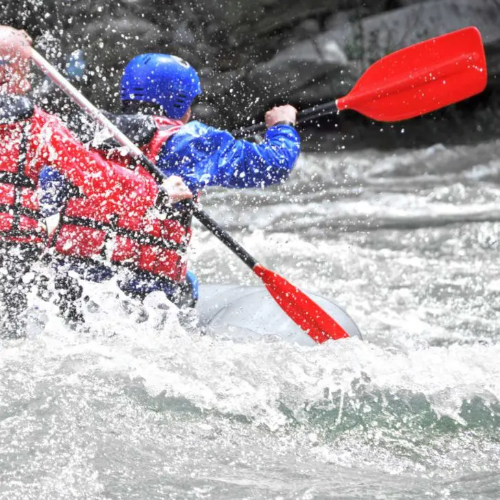
Photo courtesy of American Whitewater
Description
Take Out rapid presents a straightforward passage with minimal technical challenges. The rapid appears to be located near the transition point between an unnamed road and Black Creek Road, with no specific hazards or notable features documented. Paddlers should maintain standard situational awareness and follow typical river navigation protocols.
Location


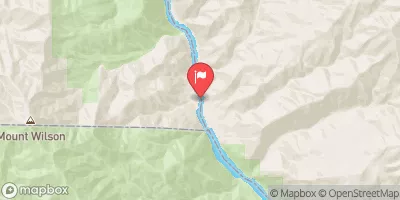
View Full Run
A) Unnamed Road to Black Creek Road (7.8 miles)
Huron, W.Br.
II-III(IV)
5.9 mi
Current Conditions
5-Day Forecast
Whitewater data from
American Whitewater
American Whitewater