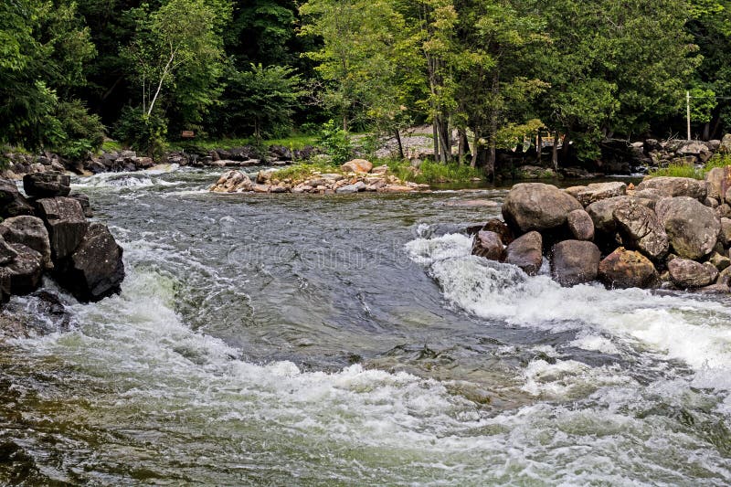
Rapid
MI
Black Creek Road / USGS sampling site
Huron, W.Br. - A) Unnamed Road to Black Creek Road (7.8 miles) (MI)
Gauge Conditions
Runnable: ? – ? CFS
Approximate - nearest available gauge. Use as general reference only.
Data from American Whitewater & USGS
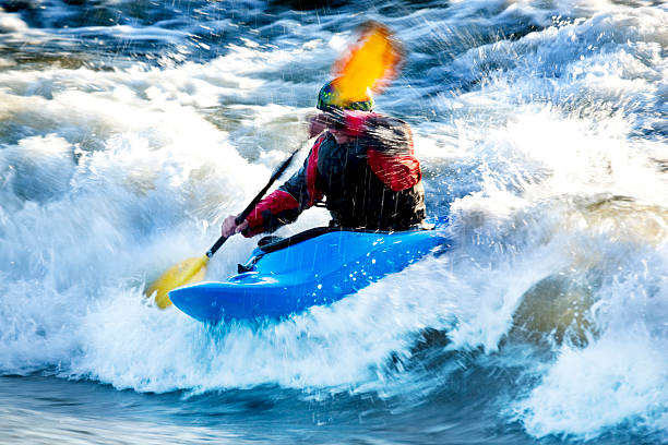
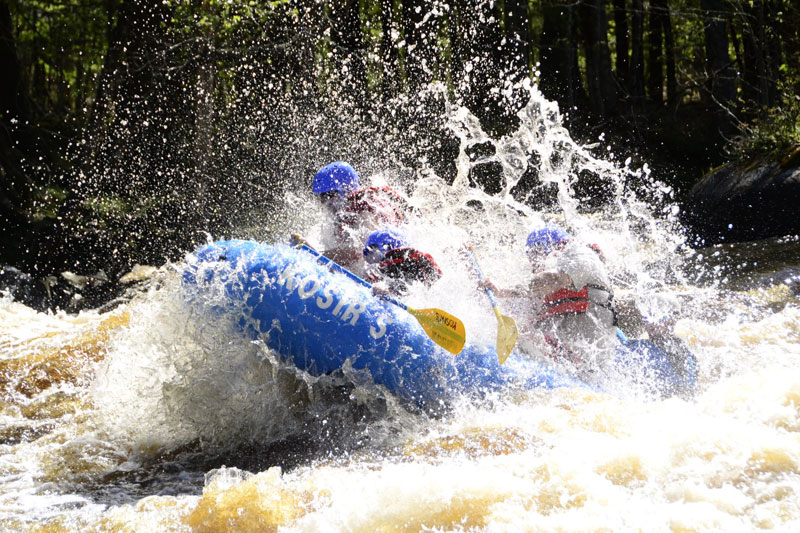
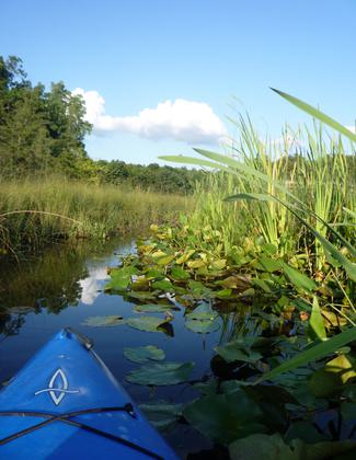
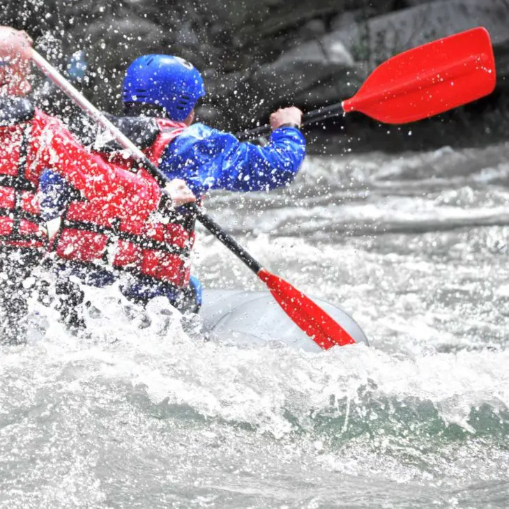
Photo
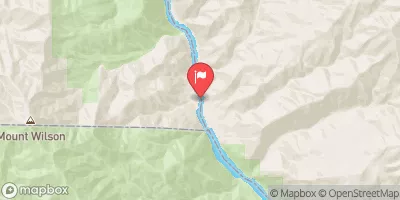
Photo courtesy of American Whitewater
Description
USGS lists a site here with drainage area of 10.8 square miles.
While we list Black Creek Road as our take-out, boaters may wish to run just a very short way past the road to finish with a set of ledges immediately downstream, then carry back up to vehicles . . . or . . . (if you set shuttle for longer run) continue down the next section of this river.
Location


View Full Run
A) Unnamed Road to Black Creek Road (7.8 miles)
Huron, W.Br.
II-III(IV)
5.9 mi
Current Conditions
5-Day Forecast
Whitewater data from
American Whitewater
American Whitewater