Gauge Conditions
Approximate - nearest available gauge. Use as general reference only.
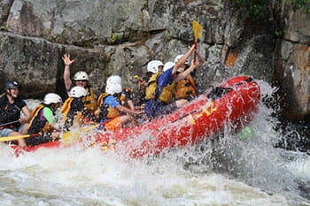
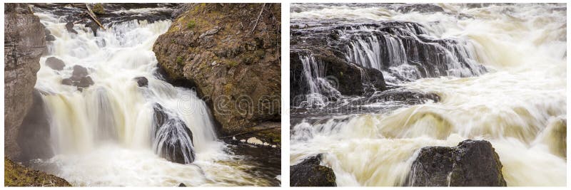
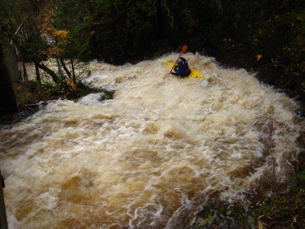
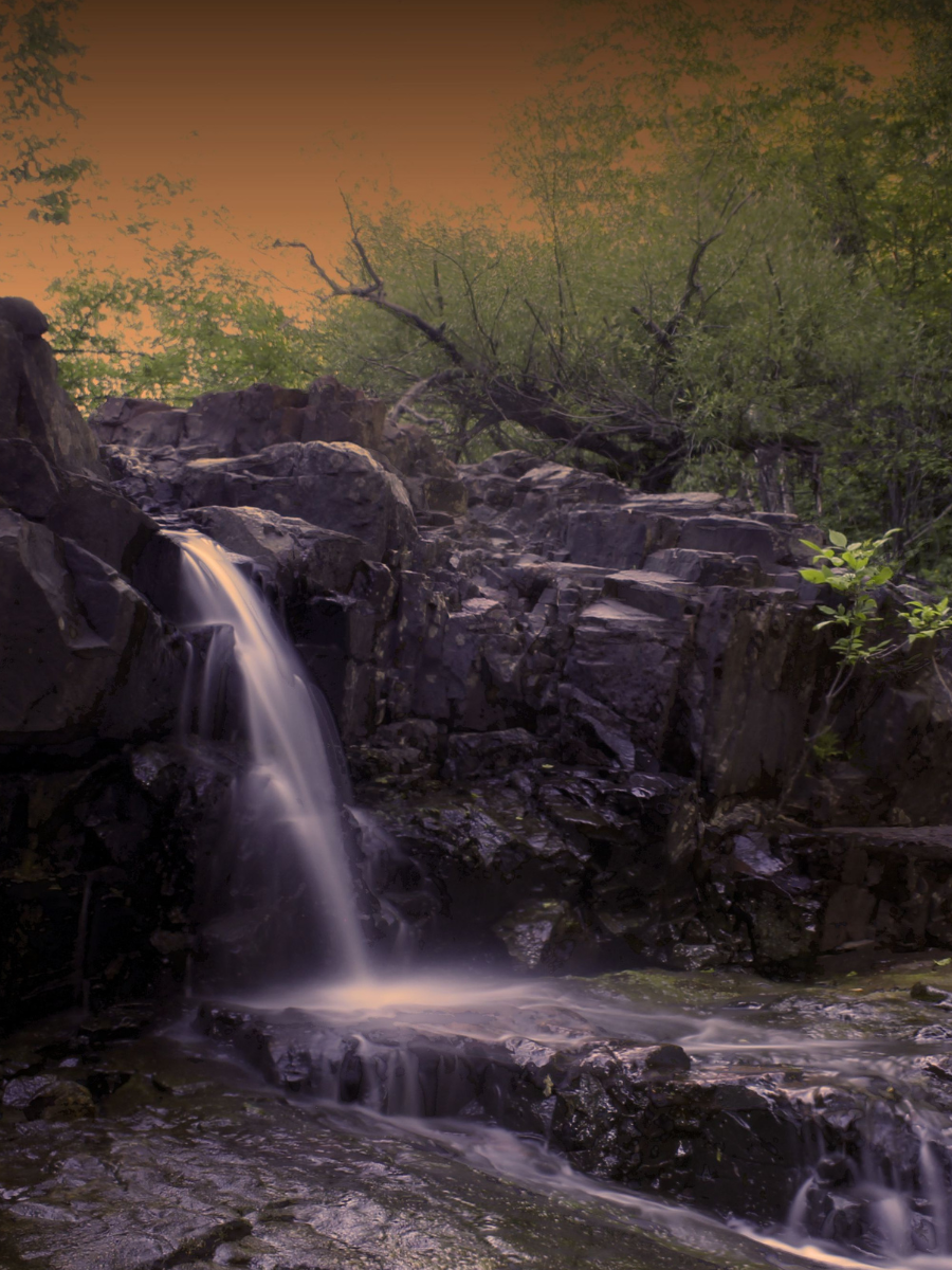
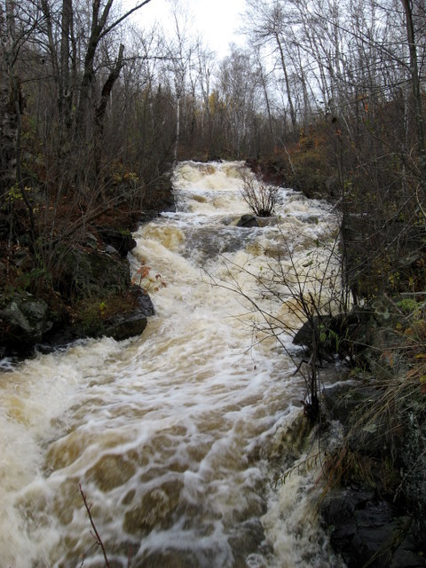
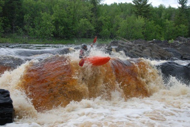
Photo

Description
An amazing series of ledges and slides, ending up by dropping under a bridge and into the zoo! (I think you need to take-out before that!)
From the Duluth Masabi and Iron Range Railway (up near the I35/US2 interchange) down to the Lake Superior Zoo in Fairmont park, With a drainage area (at the zoo) of about 8.5 square miles, and ~330' of drop in roughly 0.56 miles, for an equivalent gradient of 590 FPM. And ... the Superior Hiking Trail provides handy scouting and carry-up to do as much of it as looks good to you!
BTW, from S.Boundary Ave to Skyline Parkway topos show 165' of drop in about 0.72 miles, which should be about 230 FPM. I hiked that once, and I was surprise to it seemed to have relatively little merit for the logistics which would be involved. (YMMV)
Anyone ever done any part of this? Were you able to run all of it? Add a comment or report!
Location
Other Rapids on This Run (11)


Current Conditions
5-Day Forecast
American Whitewater