Gauge Conditions
Runnable: ? – ? CFS
Approximate - nearest available gauge. Use as general reference only.
Data from American Whitewater & USGS
Description
Directions to shuttle road start in Upton Maine.
1 Begin at Errol, NH, take RT-26 and go Southeast for approximately 10.1 miles passing Upton Maine on the way.
2. Take a left on East B Hill road at point "Z" 44.6874962 north, -71.0010071 west. Approximately 2 miles to point "A" 44.6845818 North, -70.9620514 West
Directions to put in from point "A", road conditions good
A. Start here 44.6845818 North, -70.9620514 West
B. Left at fork,2.1 miles from point A, 44.7043610 North, -70.9580078 West
C. Left at fork .5 miles from point B, 2.6 miles from point A, 44.7084351 North, -70.9522705 West
D. Right after bridge, small sandpit on the right, .6 miles from point C, 3.2 miles from point A, 44.7156830 North, -70.9458923 West
E. Road intersects from right, stay left, 2.4 miles from point D, 5.6 miles from point A, 44.7325172 North, -70.9113846 West
F. Road intersects from right, stay left, 1.4 miles from point E, 7.0 miles from point A, 44.7492065 North, -70.9215622 West
G. Put in: look for a small pull off on the left and ribbon flags on the right. .4 miles from point F, 7.4 miles from Point A, 44.7541084 North, -70.9290314 West There is another access point about .1 miles farther, look for a small clearing on the left.
Directions to take out from put in, road conditions good to fair
H. Continue on road from point G 2.6 miles to point H, then take a right, 44.7585678 North, -70.9638290 West
I. Take a left, .3 miles from point H, 2.9 miles from point G, 44.7585678 North, -70.9710846 West
J. Right 1.1 miles from point I, 4.0 miles from point G, 44.7503891 North, -70.9830322 West
K. Pass several minor logging roads on your left, then stop as the road heads down hill about 3.8 miles from point I, 7.8 miles from point G, look for streamers on the left signifying the trail to the take out. 44.7843132 North, -70.9979095 West
Directions out (point ÂDÂ) from the take out.
J. Return to point J and take a right, 44.7503891 North, -70.9830322 West
L. Stay left, .6 miles from point J, 44.7399406 North, -70.9860458 West
M. Take a right 1.8 miles from point J, 44.7314568 North, -70.9749527 West
N. Take a left 1.5 miles from point M, 44.7172165 North, -70.9570389 West
D. Take a right at point D .6 miles from point N, 44.7156830 North, -70.9458923 West
Location
View Full Run
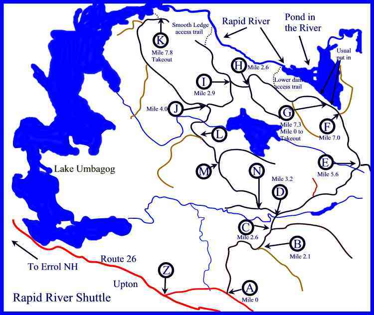
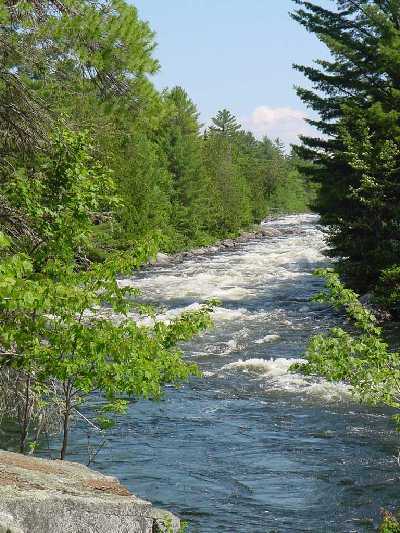
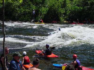
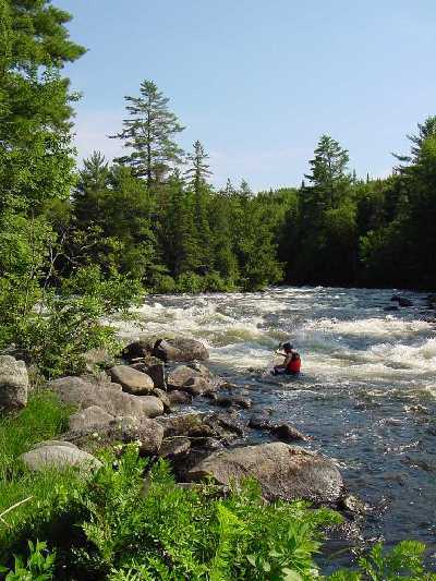
Pond in the River to Lake Umbagog
Rapid
IV
3.8 mi
Current Conditions
5-Day Forecast
Whitewater data from
American Whitewater
American Whitewater