Gauge Conditions
Data from American Whitewater & USGS
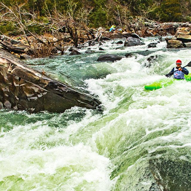
Photo
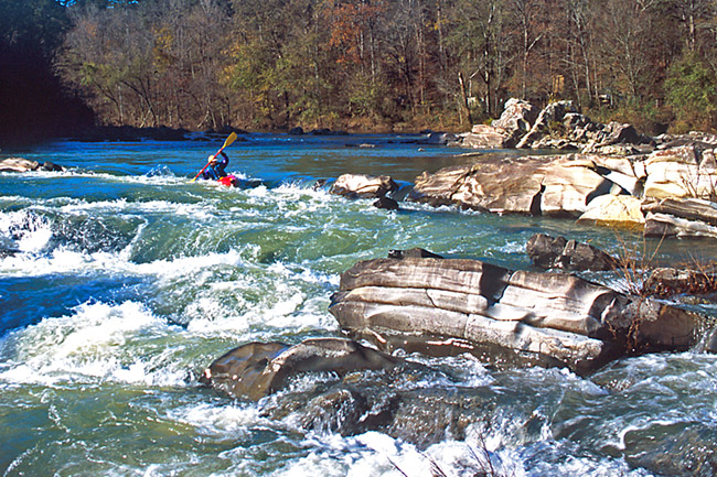
Photo courtesy of American Whitewater
Description
Put In rapid marks the starting point for the challenging Cossatot River run, characterized by its boulder-strewn entry and potential for technical maneuvering among scattered rock formations. Paddlers should carefully scout the initial drop and be prepared for potential pinning hazards, particularly during lower water levels when exposed rocks create a more complex navigation route.
Location
Other Rapids on This Run (1)
View Full Run
1) County Road 31 to Hwy 246 (3.4-8.9 miles)
Cossatot
II+
3.4 mi
Current Conditions
5-Day Forecast
Whitewater data from
American Whitewater
American Whitewater