Put-in
VA
Put In
Buffalo River (Tye trib.) - 1. Forks of Buffalo (U.S. 60) to Amherst (U.S. 29) (VA)
Gauge Conditions
Runnable: ? – ? CFS
Approximate - nearest available gauge. Use as general reference only.
Data from American Whitewater & USGS
Photo
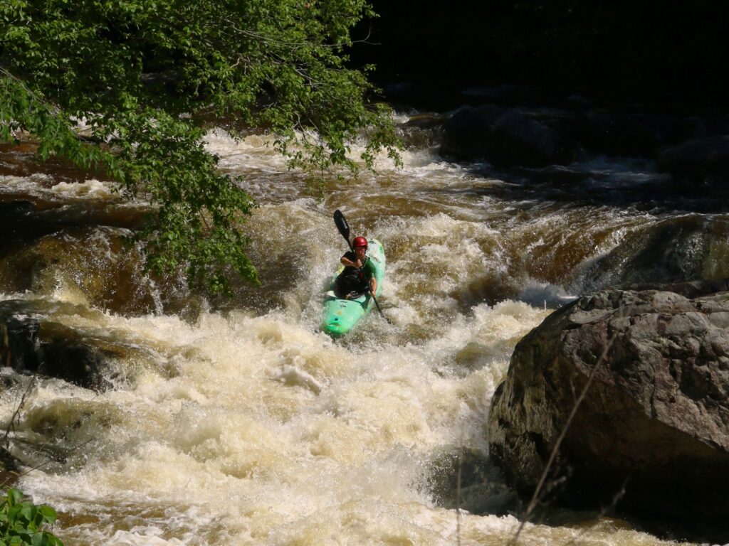
Photo courtesy of American Whitewater
Description
Put In is a straightforward access point with minimal technical challenges, serving primarily as an entry location for boaters launching onto this section of the Buffalo River. While specific rapid features are not well-documented for this location, paddlers should be prepared for typical river conditions and potential shifting water levels that could impact navigation.
Location
Other Rapids on This Run (1)

View Full Run
1. Forks of Buffalo (U.S. 60) to Amherst (U.S. 29)
Buffalo River (Tye trib.)
II
17.9 mi
Current Conditions
5-Day Forecast
Whitewater data from
American Whitewater
American Whitewater