Gauge Conditions
Runnable: ? – ? CFS
Approximate - nearest available gauge. Use as general reference only.
Data from American Whitewater & USGS
Photo
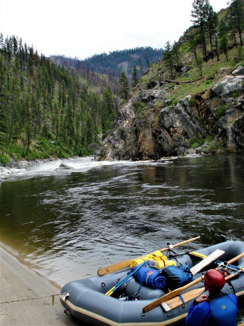
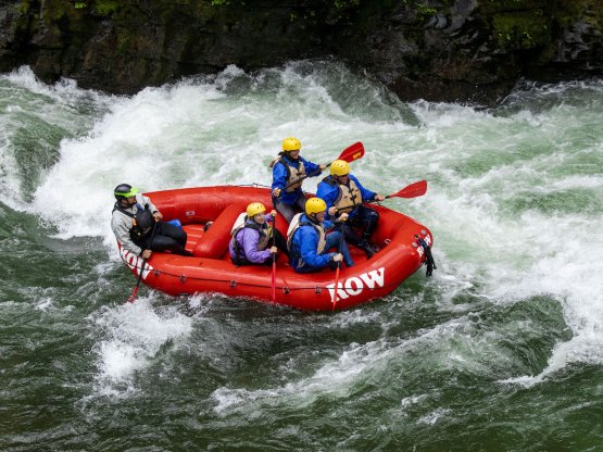
Photo courtesy of American Whitewater
Description
Put In rapid marks the initial entry point for this section of the St. Joe, serving as a transition from calmer water into the river's more dynamic flow. While specific details are limited, paddlers should be prepared for potential shallow sections, submerged rocks, and variable water levels that can significantly impact navigation and difficulty.
Location
Other Rapids on This Run (1)
View Full Run
1. Loop Creek to St. Joe Confluence
St. Joe, N. Fork
III
11.0 mi
Current Conditions
5-Day Forecast
Whitewater data from
American Whitewater
American Whitewater