Gauge Conditions
Runnable: 200.0 – 3,500.0 CFS
Maximum flow unknown
Data from American Whitewater & USGS
View Full Run
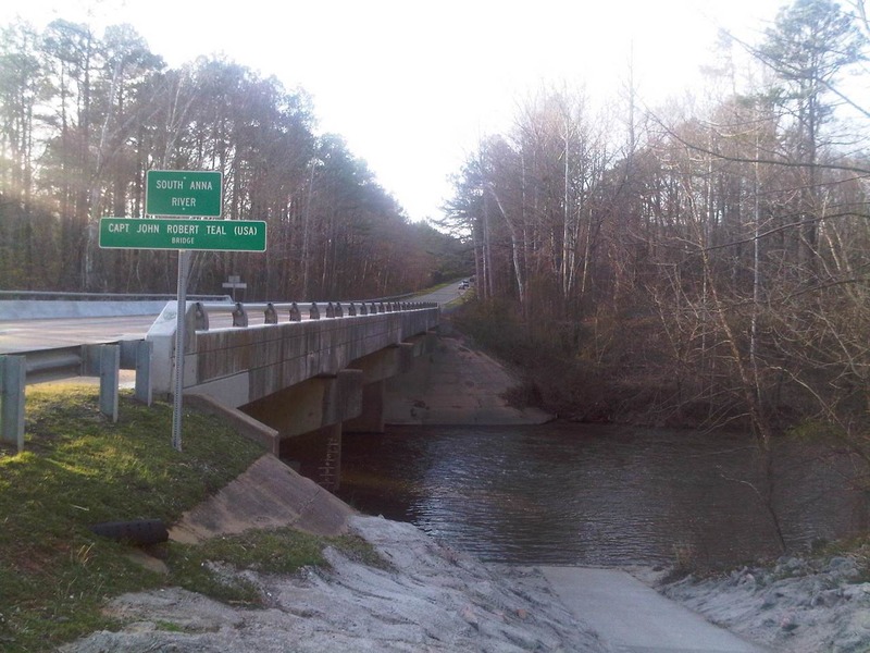
Route 33 to Route 54
South Anna
I-II
6.8 mi
Current Conditions
5-Day Forecast
Whitewater data from
American Whitewater
American Whitewater