Gauge Conditions
Runnable: ? – ? CFS
Approximate - nearest available gauge. Use as general reference only.
Data from American Whitewater & USGS
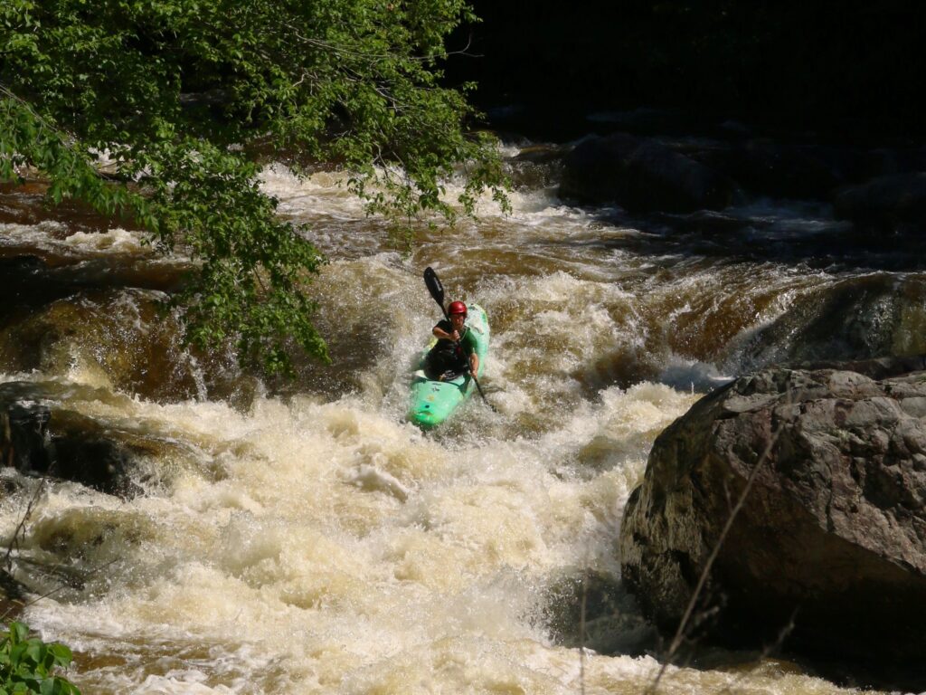
Photo
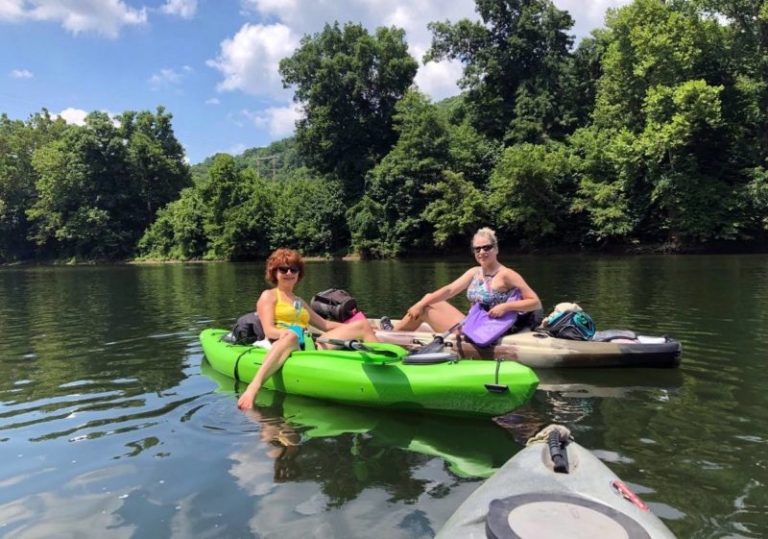
Photo courtesy of American Whitewater
Description
Put In serves as the entry point for the Rucker Run section, marking the start of the river descent with an initial navigational challenge of positioning your boat through a narrow, rock-strewn entry. Paddlers should carefully assess the initial approach and be prepared for potential tight maneuvering between boulders, which can create unexpected hydraulics or pinning hazards.
Location
Other Rapids on This Run (1)
View Full Run
Route 653 to Tye River
Rucker Run
II-III
4.3 mi
Current Conditions
5-Day Forecast
Whitewater data from
American Whitewater
American Whitewater