Gauge Conditions
Runnable: ? – ? CFS
Approximate - nearest available gauge. Use as general reference only.
Data from American Whitewater & USGS
Photo

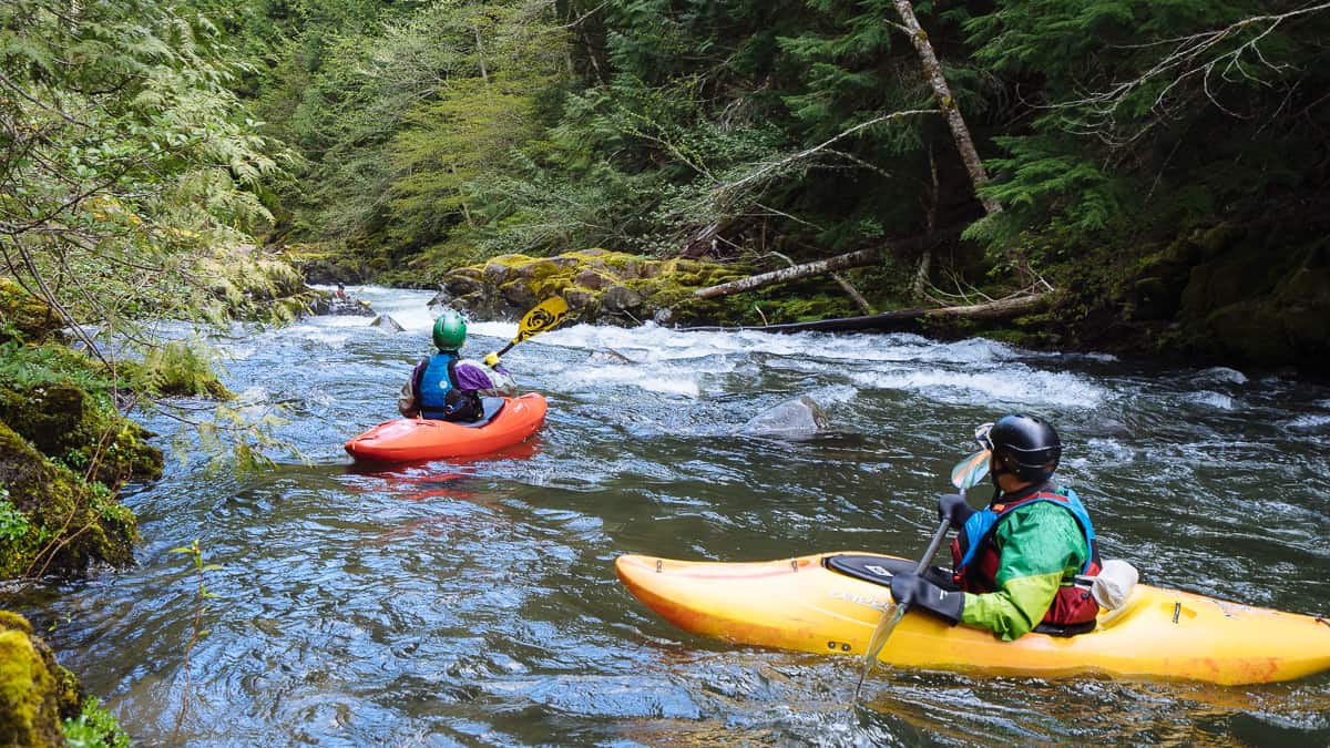
Photo courtesy of American Whitewater
Description
Put In is the initial access point for the upper Tye River run, featuring a moderate gradient entry with some small boulder gardens and potential pin hazards. Paddlers should carefully scout the initial section and be prepared for tight maneuvering between rocks, with a recommended line that hugs the river right to avoid potential obstructions.
Location
Other Rapids on This Run (1)
View Full Run
Upper: Montebello to first Rt. 56 bridge
Tye, Upper South Fork
V+
0.0 mi
Current Conditions
5-Day Forecast
Whitewater data from
American Whitewater
American Whitewater